
23 routes · Mountain Biking · Hiking
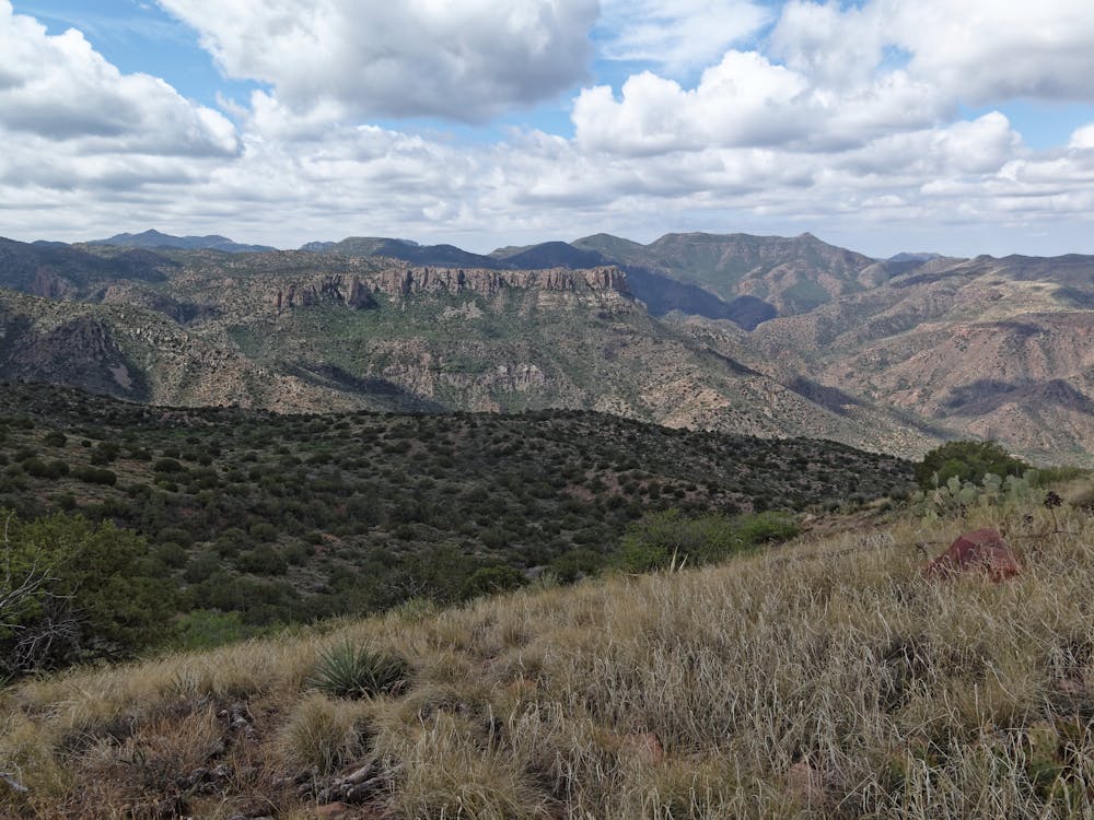
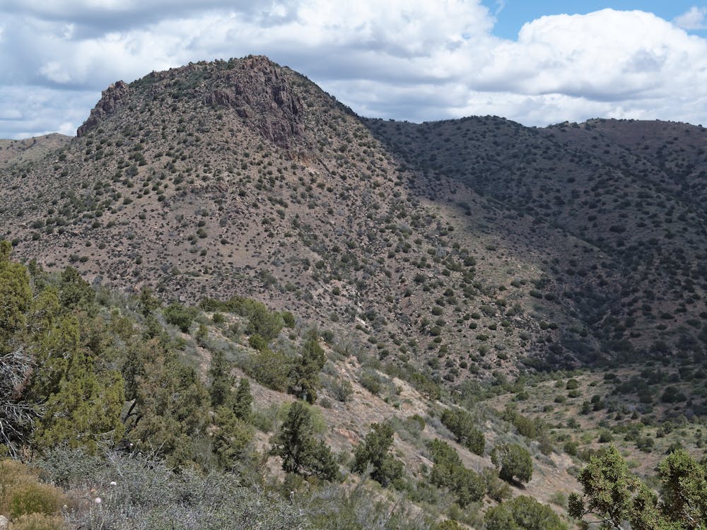
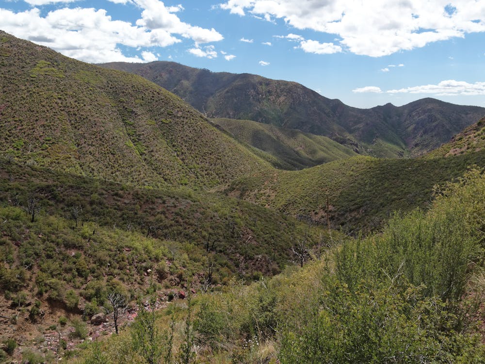
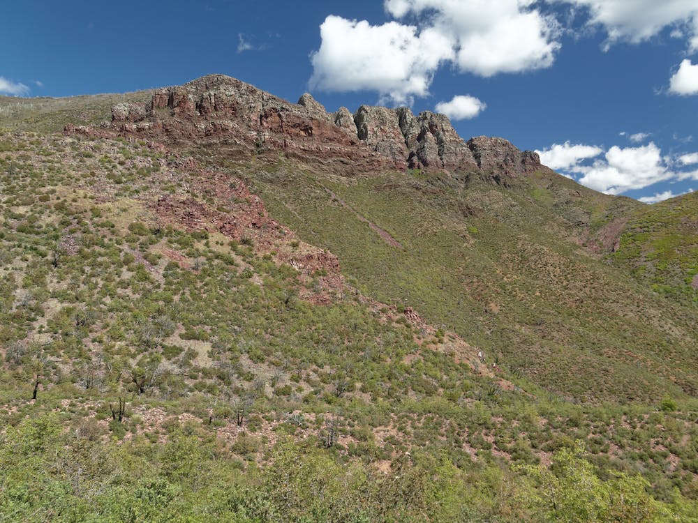
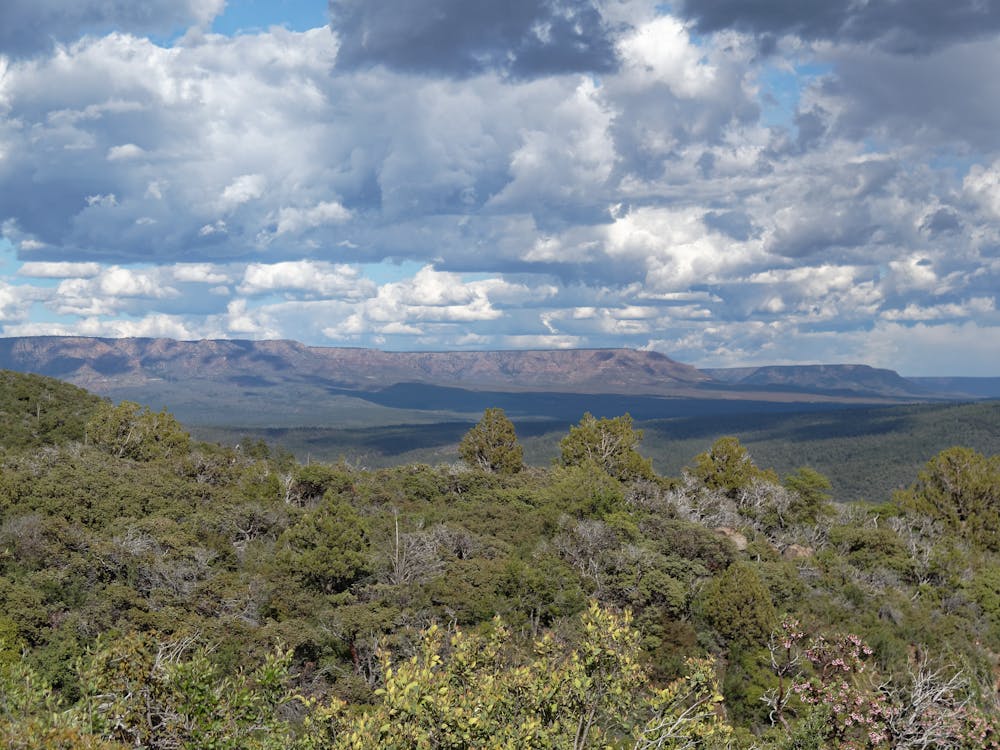
A section of the AZTR includes several wilderness bypasses and the Mogollan Rim.
Mountain Biking Moderate

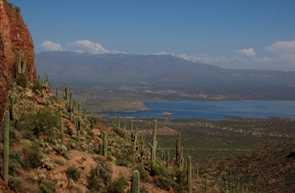
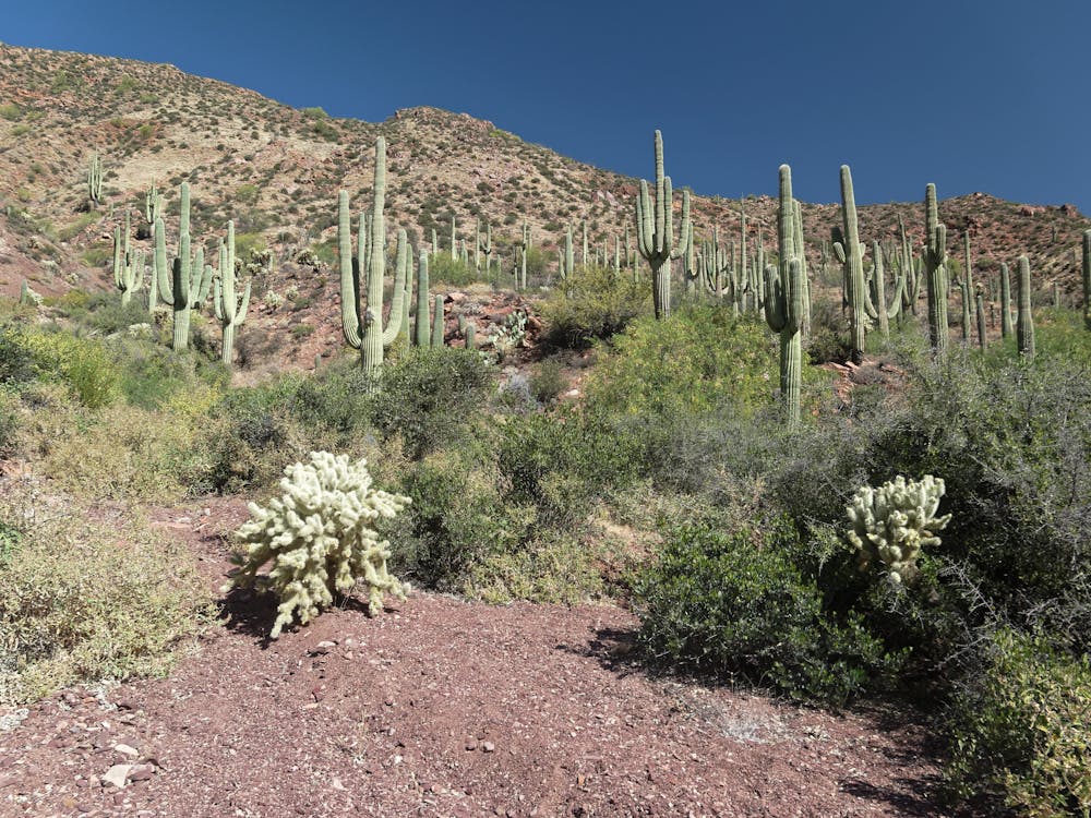
"The Arizona National Scenic Trail is a complete non-motorized path, stretching 800 diverse miles across Arizona from Mexico to Utah. It links deserts, mountains, canyons, forests, communities and people,” reads the description on the official AZTrail.org website.
For mountain bikers, the Arizona Trail (AZT) forms one third of the triple crown of bikepacking, along with the Colorado Trail and the Tour Divide. Like most long distance trails, the bike-specific version of the AZT varies due to wilderness re-routes. The full-length bikepacking race covers a route that measures about 750 miles from end-to-end.
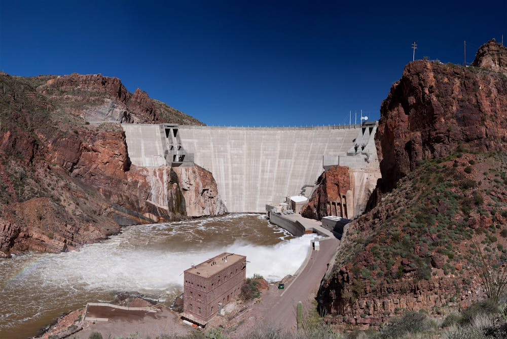
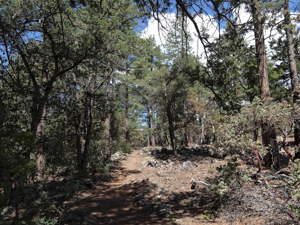
The section of the bikepacking route shown here follows the Arizona Trail Race route, as mountain bikers must bypass around several wilderness areas, including the Superstition Wilderness Area and Four Peaks Wilderness Area outside of Phoenix. North of Payson the singletrack picks up again, but most of this section is relatively non-technical.
Sources: https://aztrail.org/ AZTR GPX file courtesy of Scott Morris, http://topofusion.com/azt/race-route.php
Moderate
Mostly stable trail tread with some variability, with unavoidable obstacles 8in/20cm tall or less. Other obstacles such as rock gullies and steep sections may exist. Ideal for lower intermediate riders.

The path is on completely flat land and potential injury is limited to falling over.

Away from help but easily accessed.
23 routes · Mountain Biking · Hiking