
23 routes · Mountain Biking · Hiking
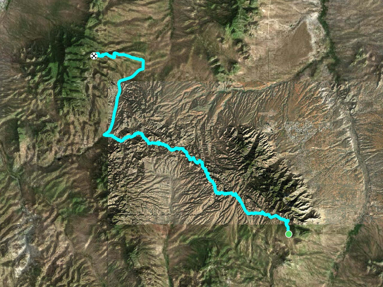
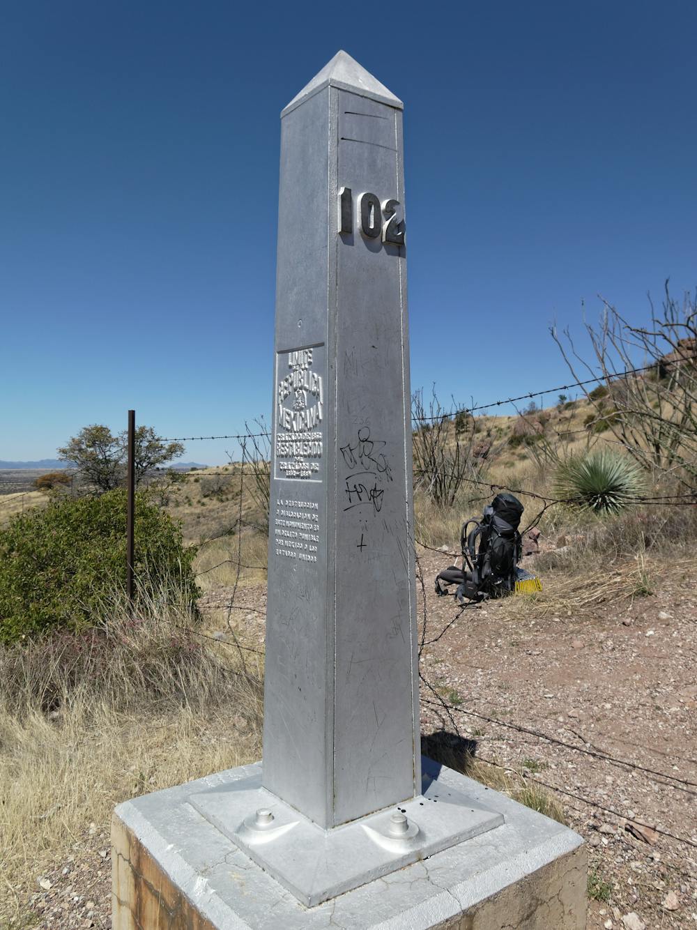
Section 1 of this epic bikepacking route, beginning at the Mexican border.
Mountain Biking Difficult
"The Arizona National Scenic Trail is a complete non-motorized path, stretching 800 diverse miles across Arizona from Mexico to Utah. It links deserts, mountains, canyons, forests, communities and people,” reads the description on the official AZTrail.org website.

For mountain bikers, the Arizona Trail (AZT) forms one third of the triple crown of bikepacking, along with the Colorado Trail and the Tour Divide. Like most long distance trails, the bike-specific version of the AZT varies due to wilderness re-routes. The full-length bikepacking race covers a route that measures about 750 miles from end-to-end.
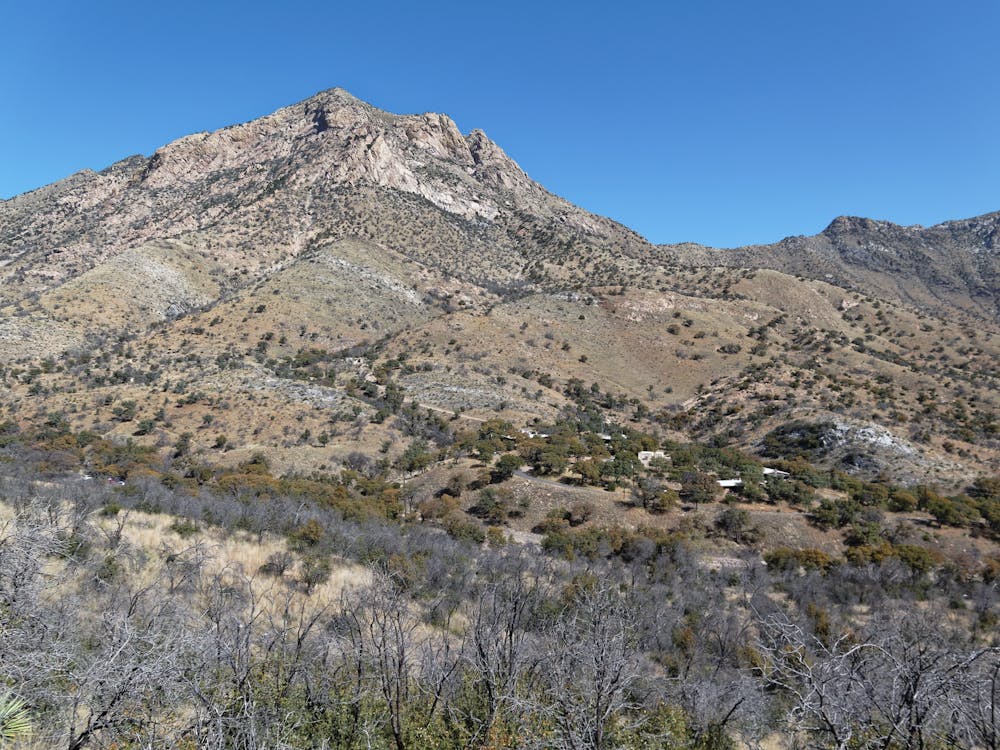
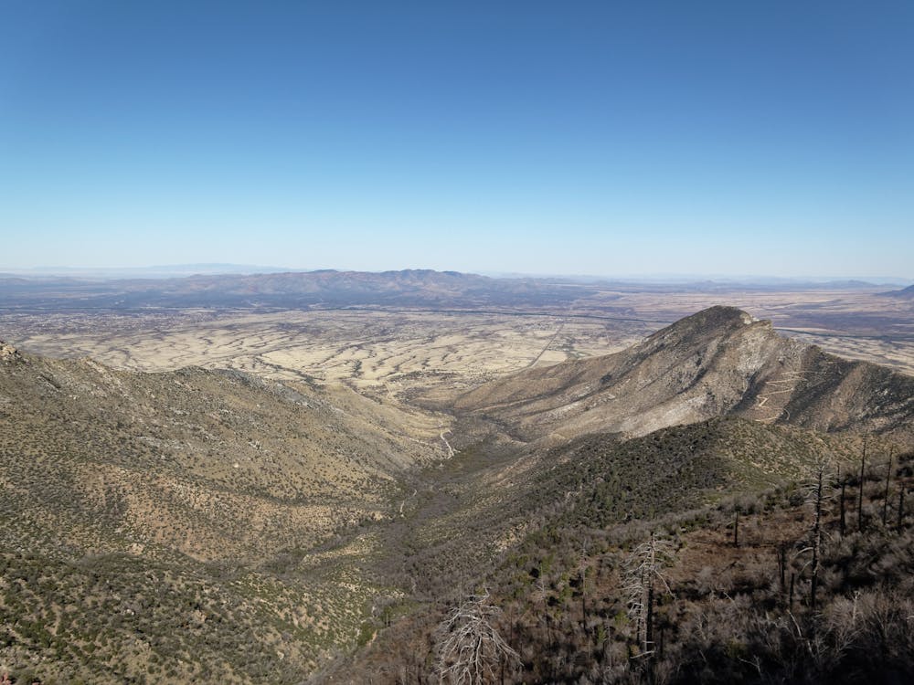
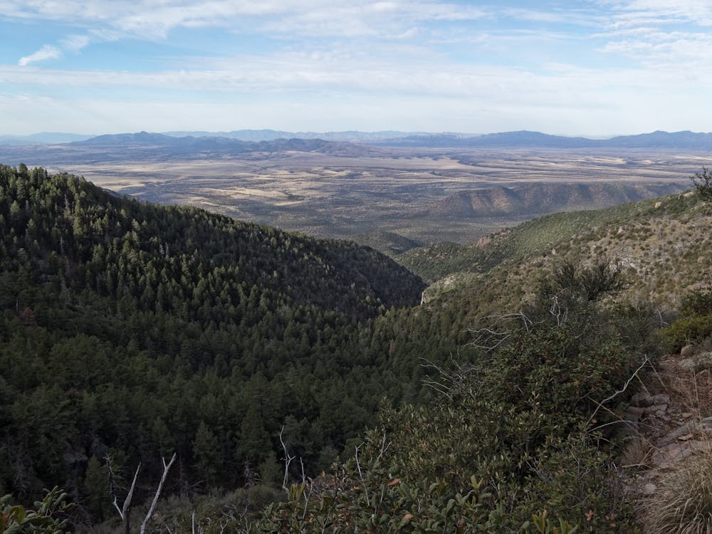
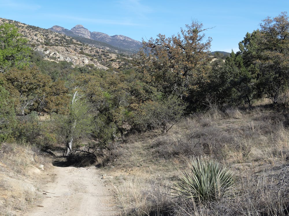
Shown here is the first section of the Arizona Trail Race route, which includes a lengthy, remote section of singletrack extending all the way down to the Mexican border. As the trail heads north and reaches Patagonia, the AZTR route leaves the trail and follows a road north. Eventually, the AZTR route heads West and eventually rejoins the singletrack near Mount Wrightson.
Sources: https://aztrail.org/f AZTR GPX file courtesy of Scott Morris, http://topofusion.com/azt/race-route.php
Difficult
Mostly stable trail tread with some variability featuring larger and more unavoidable obstacles that may include, but not be limited to: bigger stones, roots, steps, and narrow curves. Compared to lower intermediate, technical difficulty is more advanced and grades of slopes are steeper. Ideal for upper intermediate riders.

The path is on completely flat land and potential injury is limited to falling over.

In the high mountains or remote conditions, all individuals must be completely autonomous in every situation.
23 routes · Mountain Biking · Hiking