
23 routes · Mountain Biking · Hiking
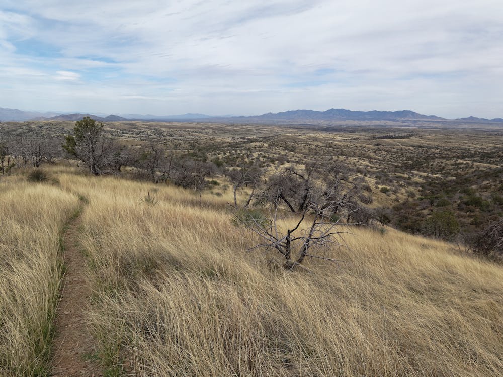
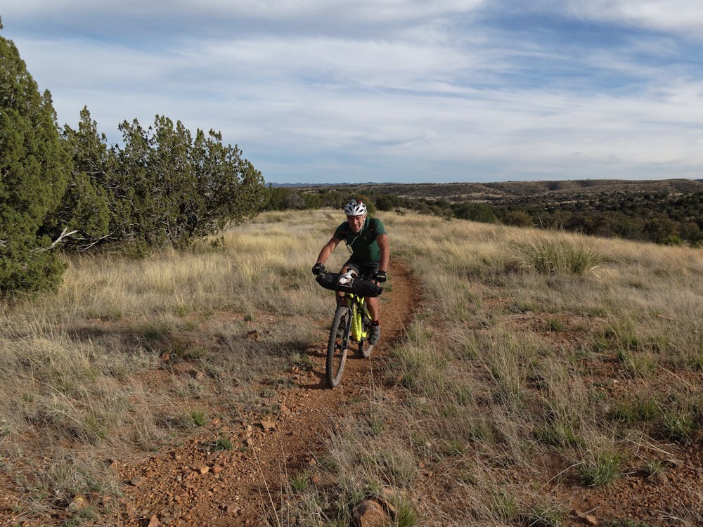
This diverse and exciting three-day adventure features 60 miles of flowing singletrack through oak and juniper forests, across golden grasslands and finishing among stands of giant saguaro cacti.
Mountain Biking Moderate

This diverse and exciting three-day adventure features 60 miles of flowing singletrack through oak and juniper forests, across golden grasslands and finishing among stands of giant saguaro cacti. While technical challenges will be encountered each day, the majority of the route is ideal for beginner and intermediate riders who want to experience the Arizona Trail near Tucson.
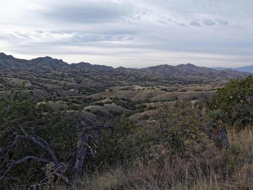
The Santa Rita Mountains are incredibly biodiverse, and are one of the only places in America where you might share the trail with a jaguar or ocelot (both have been documented here in recent years). This is the only trip where you can spend time underground, and a walk through Colossal Cave will reveal the incredible world that exists underground. Ending in Saguaro National Park (one of only two National Parks in the country that allow mountain bikes on trails), this three-day itinerary is about as much fun as you can have on your mountain bike.
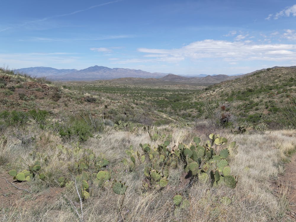
Day 1
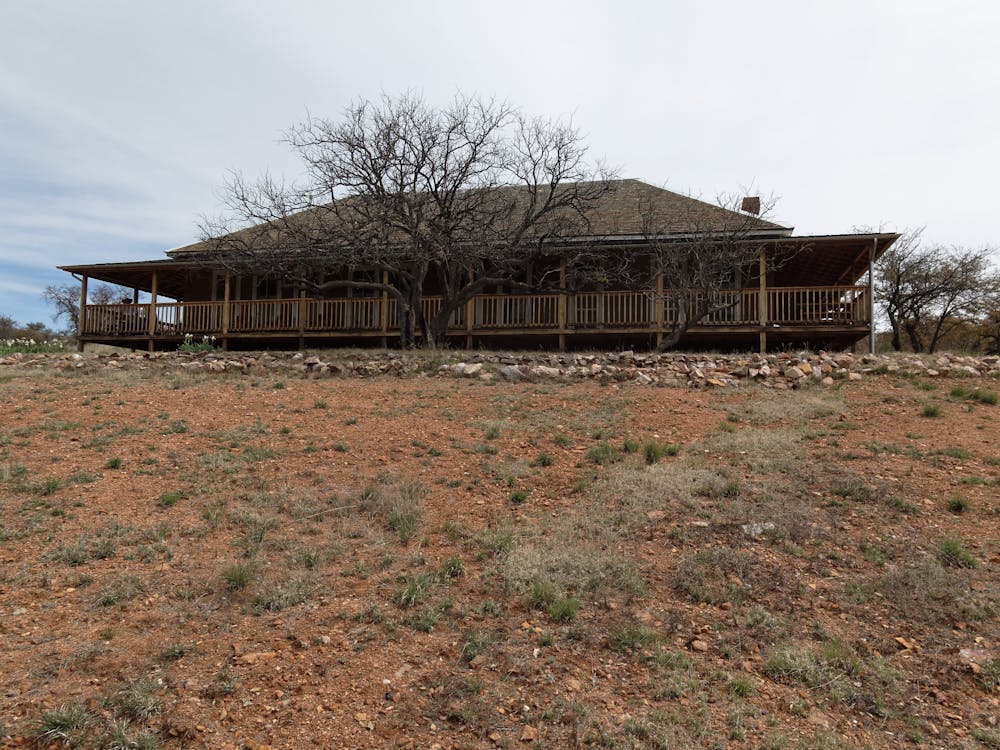
The adventure begins in a canyon on the northern end of the Santa Rita Mountains near a permanent water source. Follow singletrack through dense forests of piñon pine, juniper, oak and manzanita toward Gardner Canyon. Climb a short, steep series of switchbacks before descending toward historic Kentucky Camp. Old adobe structures and rusting mining equipment help tell the story of when this area was bustling with hopes of riches in the dirt. The trail rises and falls through a series of canyons, testing your legs and lungs throughout the day. This area is a bird watcher’s paradise and you’re likely to see everything from tiny grassland sparrows to elegant trogons. Deer, javelina, mountain lions and coatimundi are also abundant. Camp is in a remote valley in the foothills of the Santa Ritas. Ride length is about 19 miles.
For more information and to book a tour, visit: http://aztexpeditions.com/Arizona-Trail-5
Moderate
Mostly stable trail tread with some variability, with unavoidable obstacles 8in/20cm tall or less. Other obstacles such as rock gullies and steep sections may exist. Ideal for lower intermediate riders.

The trail contains some obstacles such as outcroppings and rock which could cause injury.
Away from help but easily accessed.
23 routes · Mountain Biking · Hiking

32 routes · Mountain Biking · Hiking · Road Biking