
23 routes · Mountain Biking · Hiking
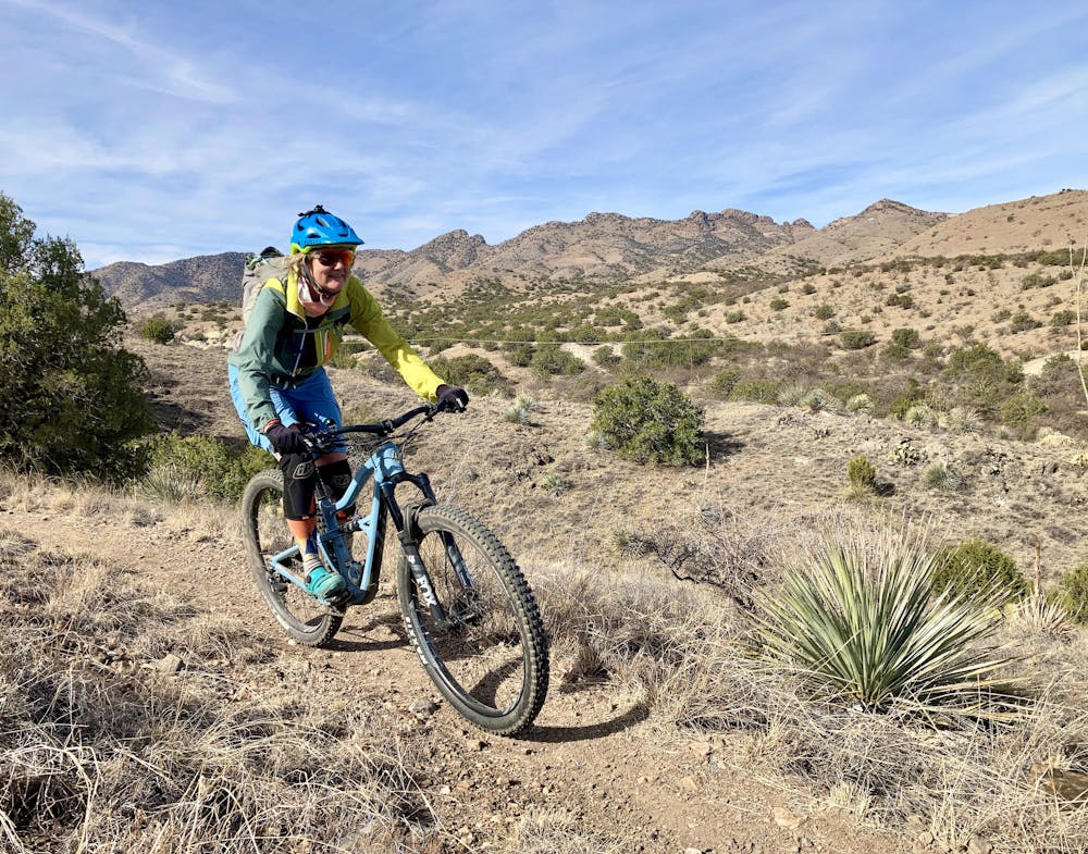
Continuing north along the Arizona Trail, today’s route is mostly fast and flowing with a lot of elevation loss between the start and finish.
Mountain Biking Moderate

This diverse and exciting three-day adventure features 60 miles of flowing singletrack through oak and juniper forests, across golden grasslands and finishing among stands of giant saguaro cacti. While technical challenges will be encountered each day, the majority of the route is ideal for beginner and intermediate riders who want to experience the Arizona Trail near Tucson.
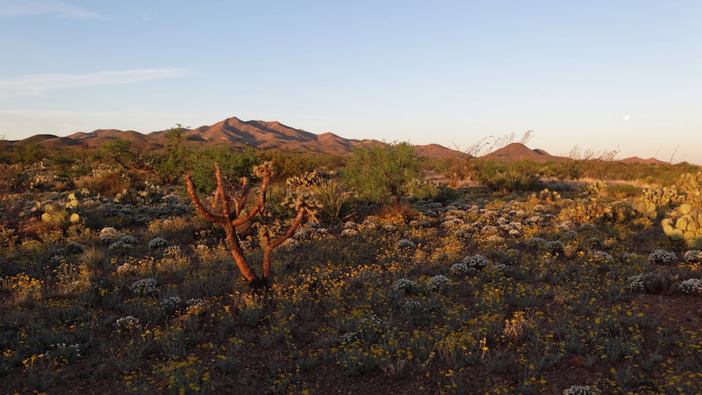
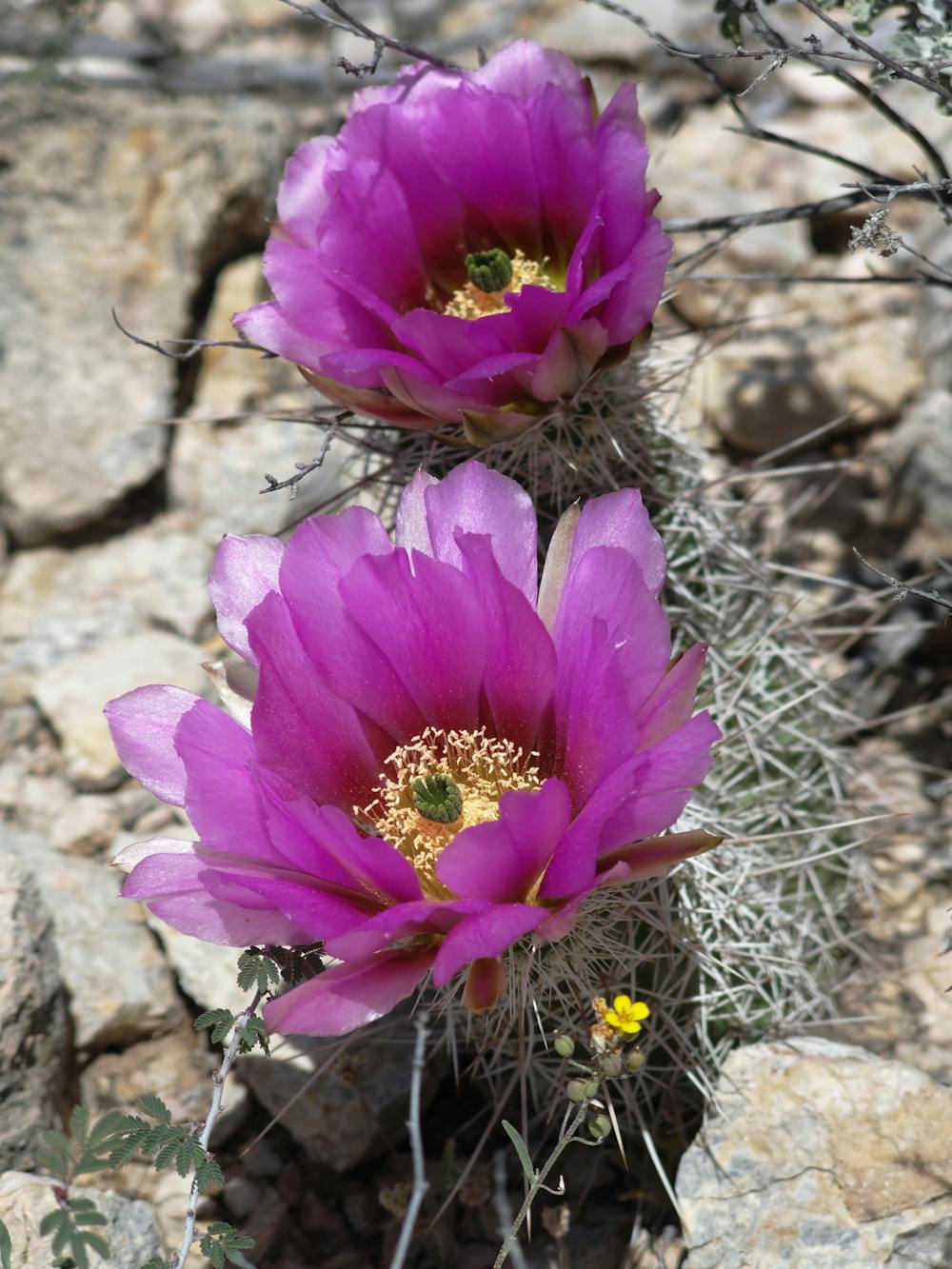
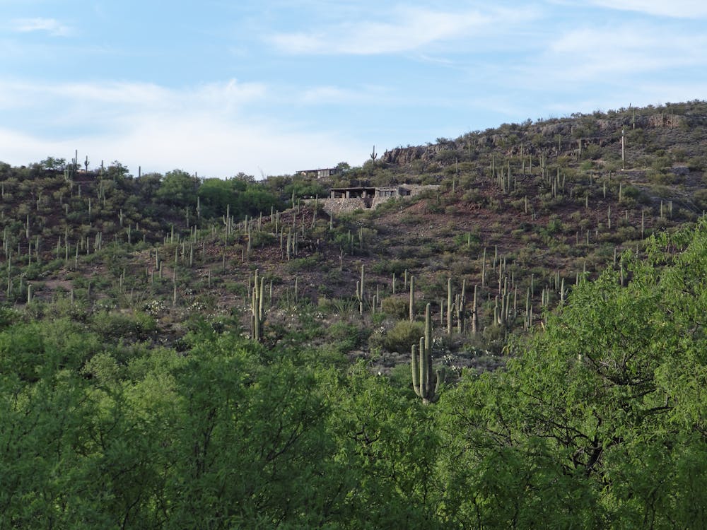
The Santa Rita Mountains are incredibly biodiverse, and are one of the only places in America where you might share the trail with a jaguar or ocelot (both have been documented here in recent years). This is the only trip where you can spend time underground, and a walk through Colossal Cave will reveal the incredible world that exists underground. Ending in Saguaro National Park (one of only two National Parks in the country that allow mountain bikes on trails), this three-day itinerary is about as much fun as you can have on your mountain bike.
Day 2
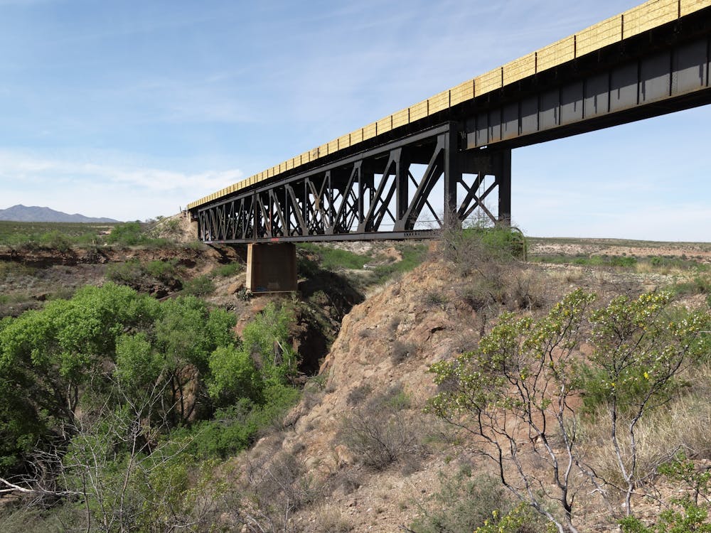
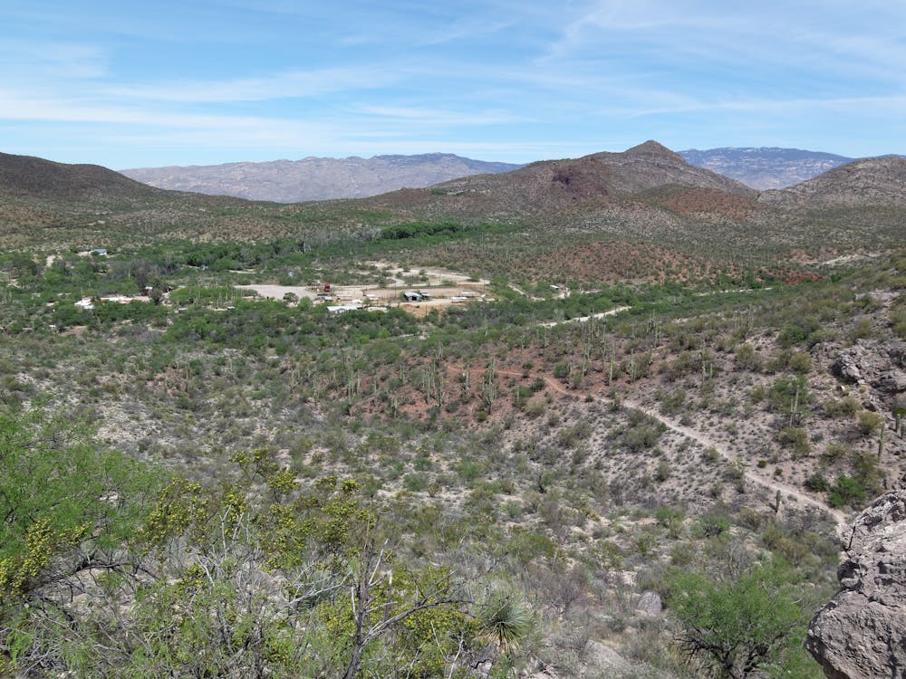
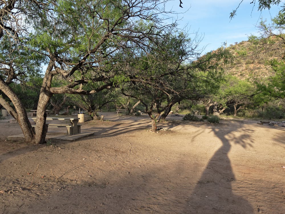
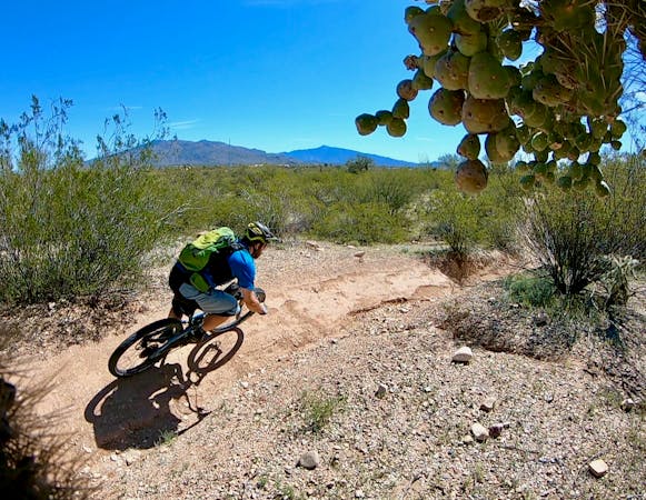
Continuing north along the Arizona Trail, today’s route is mostly fast and flowing with a lot of elevation loss between the start and finish. The terrain makes the first few hours a challenge as you ride through the accordion-like ridges of the foothills. But soon you’ll feel like you’re flying as you coast through formidable terrain on recently-built trail. The Las Colinas and Las Cienegas passages of the Arizona Trail were built almost entirely by volunteers, and most of them were mountain bikers. The miles pass quickly as you descend toward Cienega Creek Nature Preserve, a perennial source of water in an otherwise dry desert. Soak your feet in the cold creek water before pedaling north toward Colossal Cave, where the trail gets slightly more technical. The final descent into Colossal Cave Mountain Park is exhilarating, and you’ll roll into camp with your cheeks sore from grinning. Camp is in a lush mesquite and cottonwood forest within La Selvilla Campground. Ride length is 29 miles.
For more information and to book a tour, visit: http://aztexpeditions.com/Arizona-Trail-5
Moderate
Mostly stable trail tread with some variability, with unavoidable obstacles 8in/20cm tall or less. Other obstacles such as rock gullies and steep sections may exist. Ideal for lower intermediate riders.

The trail contains some obstacles such as outcroppings and rock which could cause injury.
Away from help but easily accessed.
23 routes · Mountain Biking · Hiking
10 routes · Mountain Biking

32 routes · Mountain Biking · Hiking · Road Biking