
37 routes · Mountain Biking
A 78-mile purpose-built singletrack trail rolling through the Arizona desert.
Mountain Biking Difficult

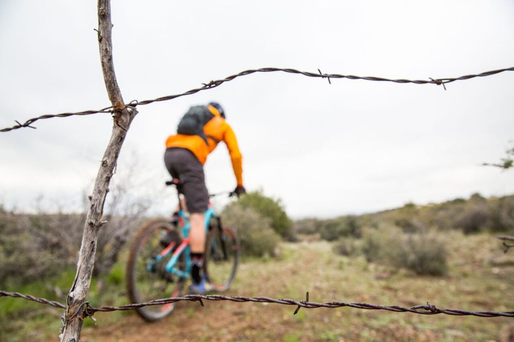
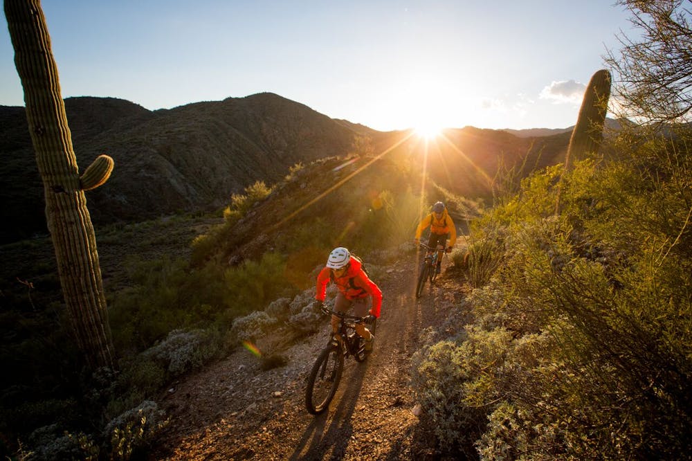
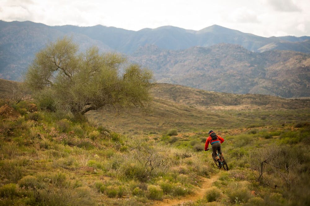
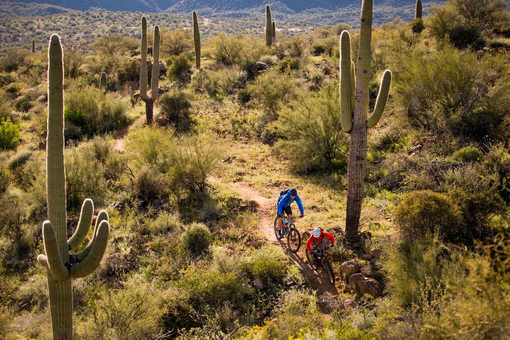
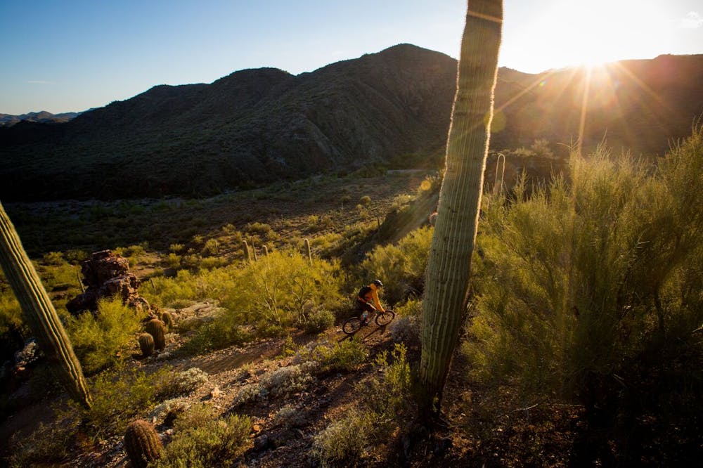
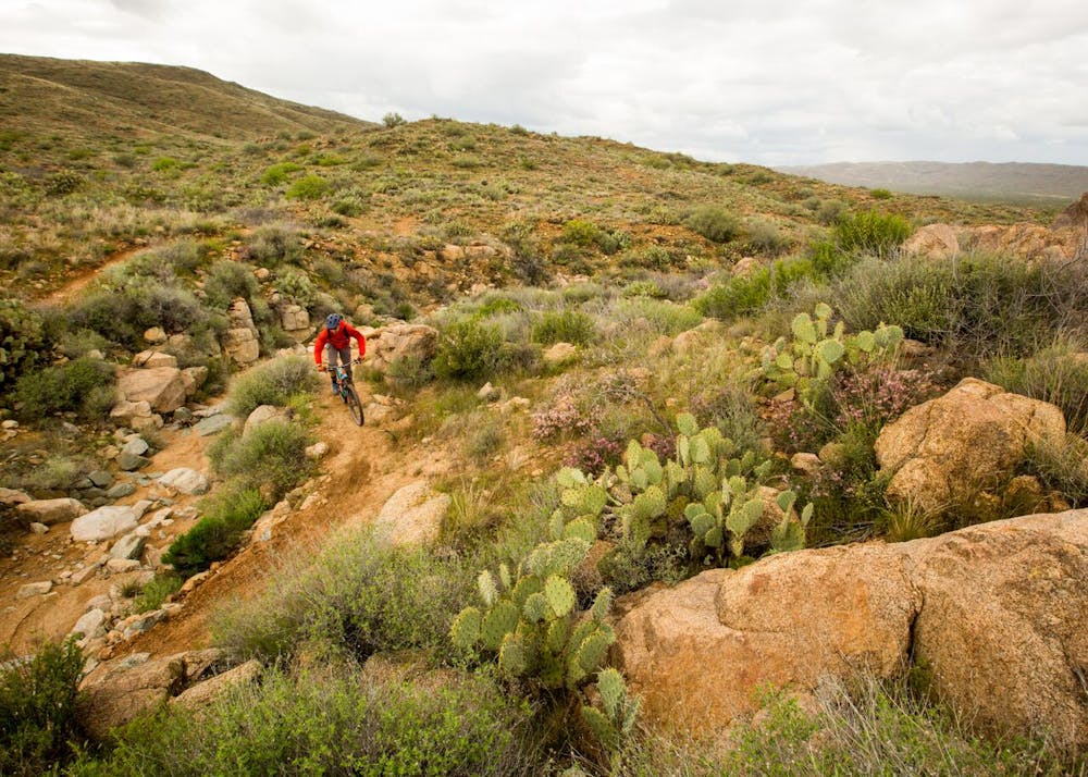
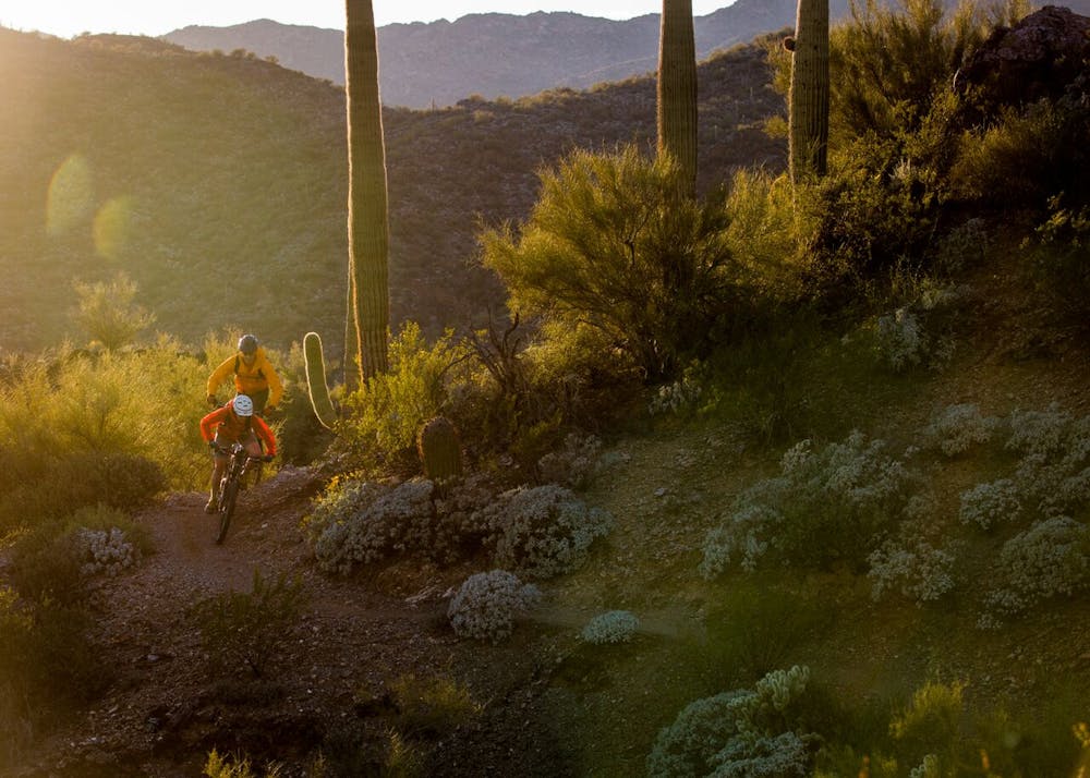
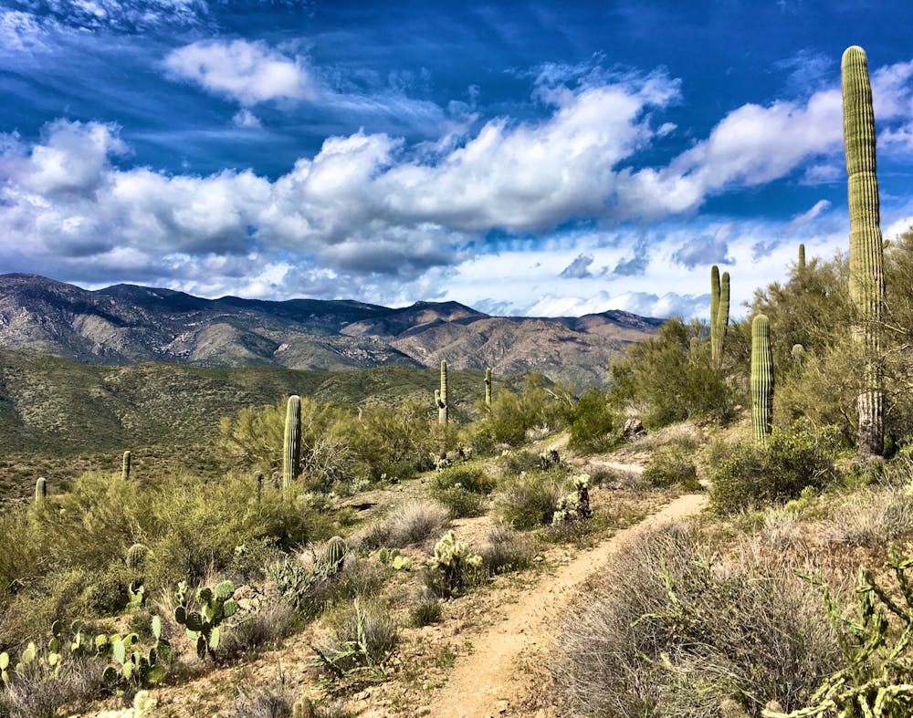
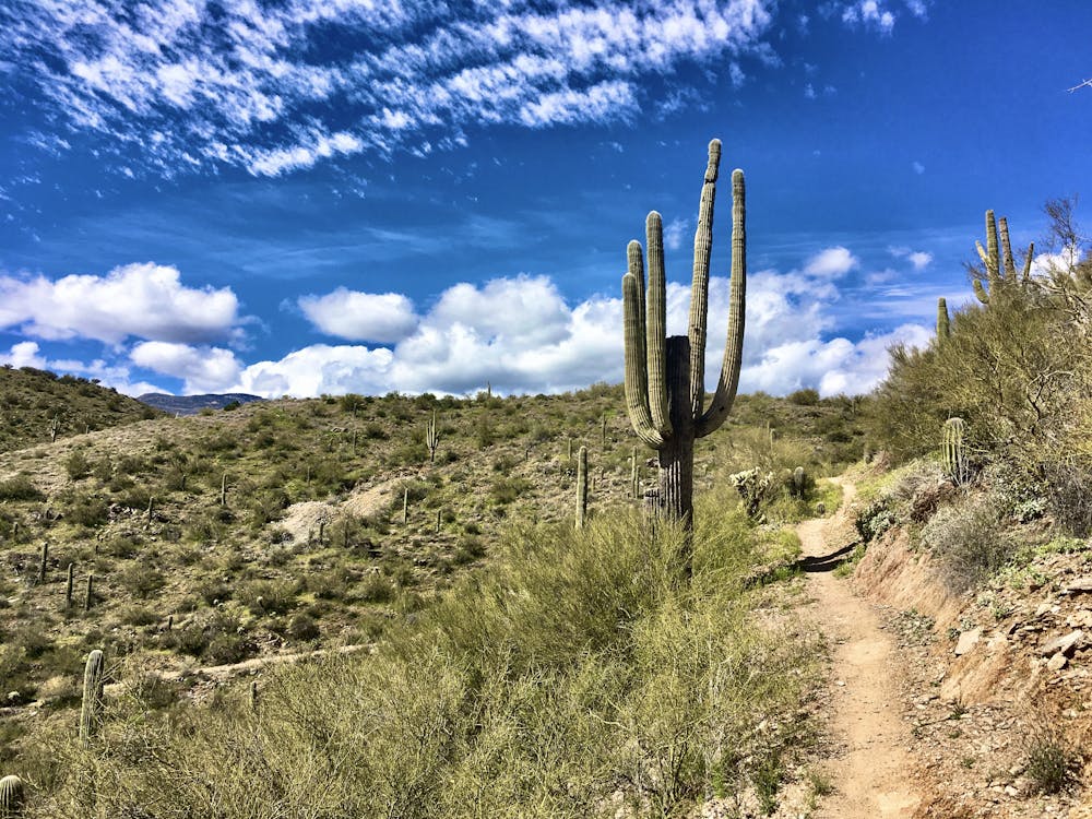
“The BCT is a long descent through a spectacular swath of the Sonoran Desert,” writes Devon Balet on Bikepacking.com. "The landscape includes saguaro forests, rugged canyons, and views of the Bradshaw Mountains to the west,” he continues.
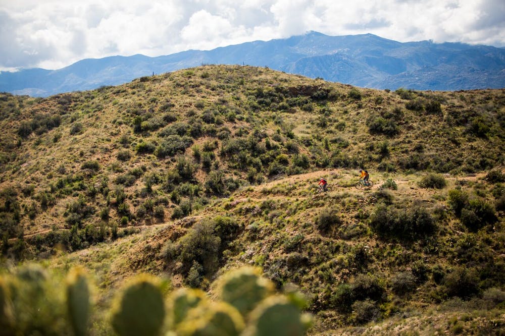
Some may scoff at the trail’s “mere” 78-mile point-to-point length, especially when compared to its not-so-distant cousin, the 750-mile Arizona Trail. Still, the BCT demands that most riders take 3 days to complete it, especially with a fully-loaded bikepacking rig.
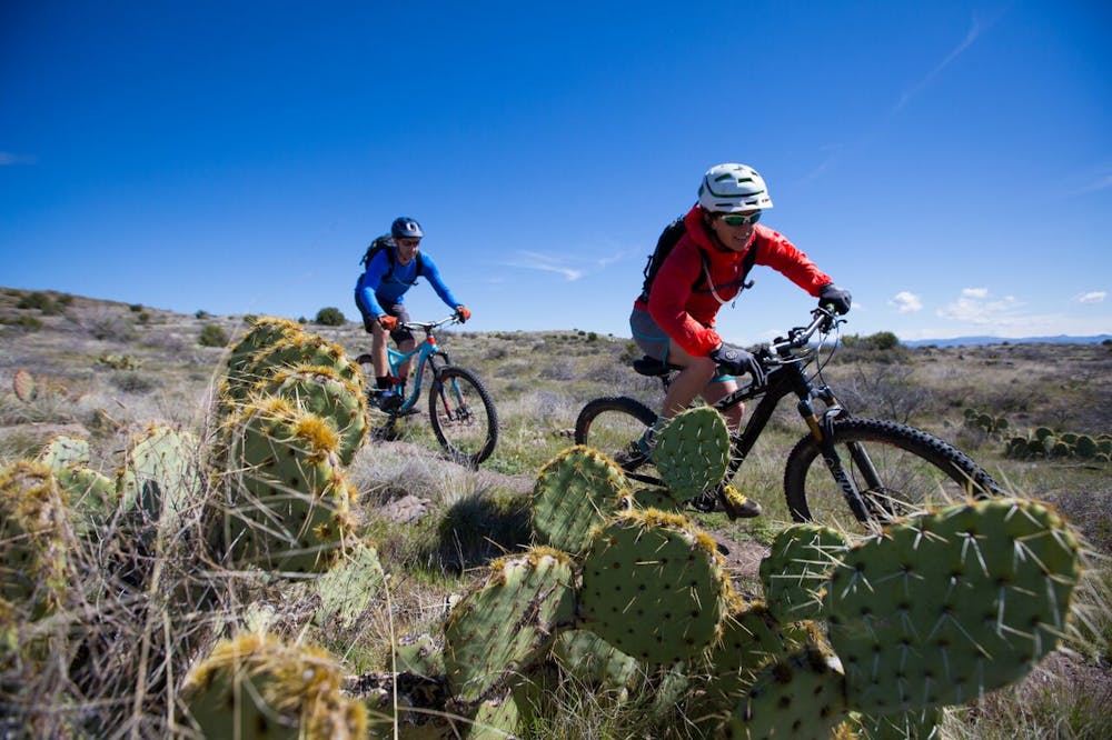
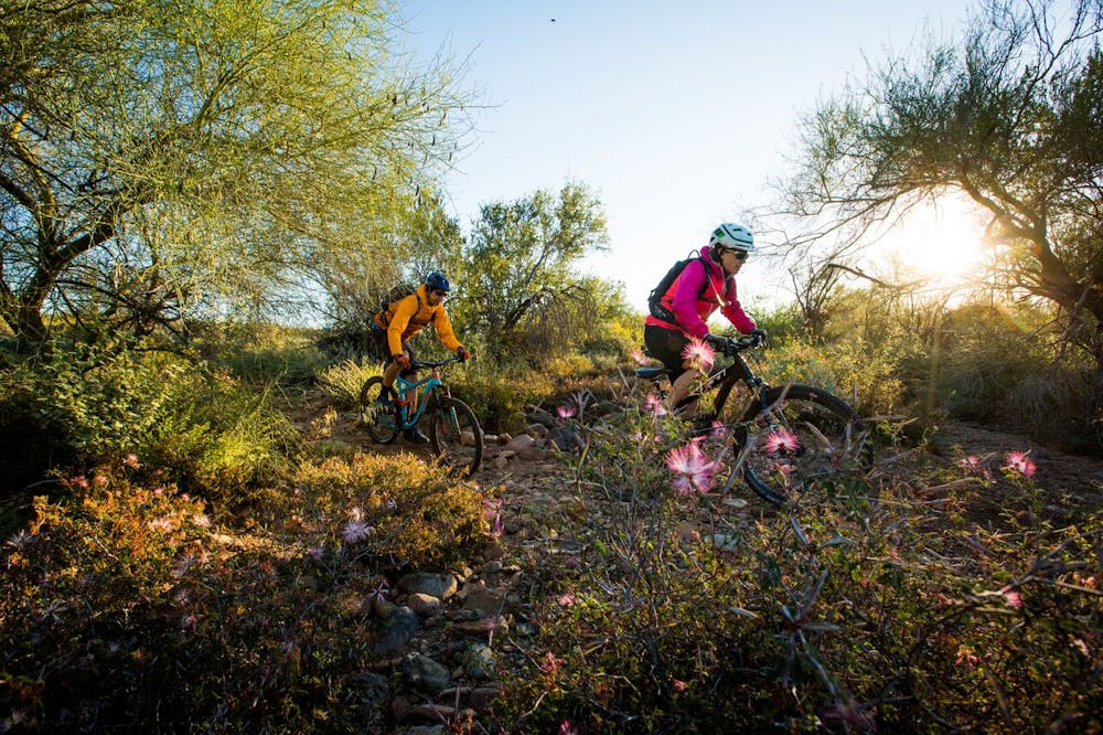
However, the “miles and miles of purpose-built singletrack” are perfect "for intermediate riders looking for a reasonable challenge on singletrack,” according to Hermosa Tours. As the BCT winds along the foothills of the Bradshaw Mountains, the grades remain moderate and relatively achievable.
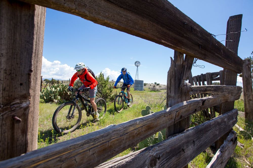
While most riders may be most concerned with the delightful, serpentine, bench cut singletrack, “this historic National Recreation Trail is of national significance,” according to the BLM. The BCT “followsa route used since the times of pre-historic Native American travelers and traders,” the BLM continues.
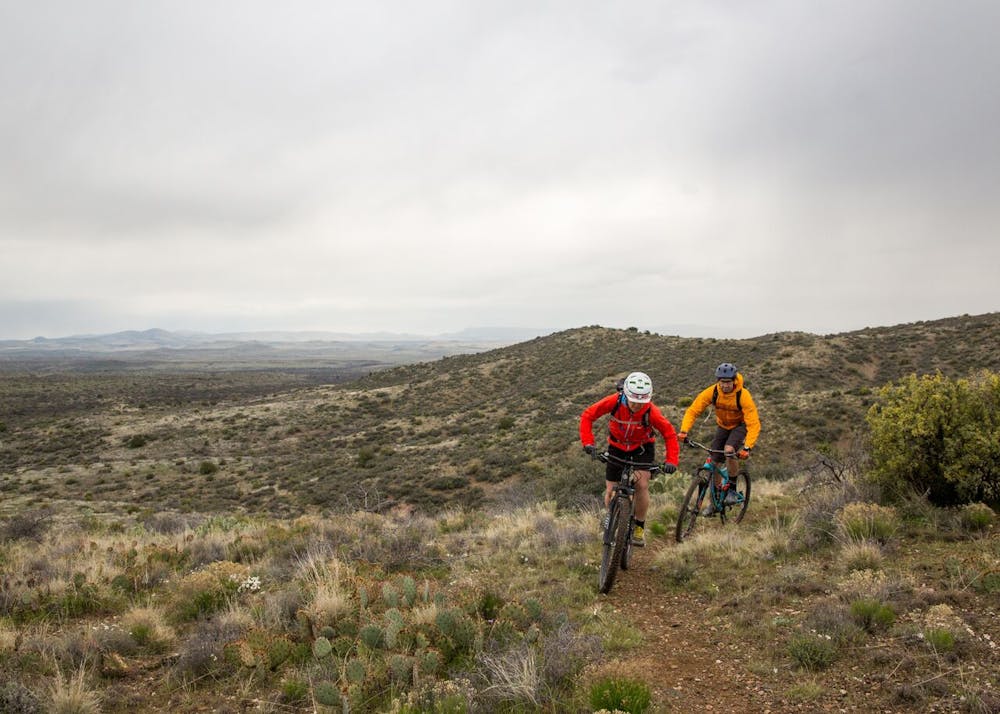
Whether you choose to bikepack the entire route, or just ride an out-and-back on a portion of the trail, as you long as you choose your season carefully (best if ridden from November to April) you’re guaranteed to have an amazing time on the Black Canyon Trail!
Sources: http://www.bikepacking.com/routes/black-canyon-trail/ http://hermosatours.net/portfolio/black-canyon-trail-mountain-bike-tour-4.html https://www.blm.gov/programs/recreation/mountainbike/blackcanyon
Difficult
Mostly stable trail tread with some variability featuring larger and more unavoidable obstacles that may include, but not be limited to: bigger stones, roots, steps, and narrow curves. Compared to lower intermediate, technical difficulty is more advanced and grades of slopes are steeper. Ideal for upper intermediate riders.

The path is on completely flat land and potential injury is limited to falling over.

Little chance of being seen or helped in case of an accident.
37 routes · Mountain Biking