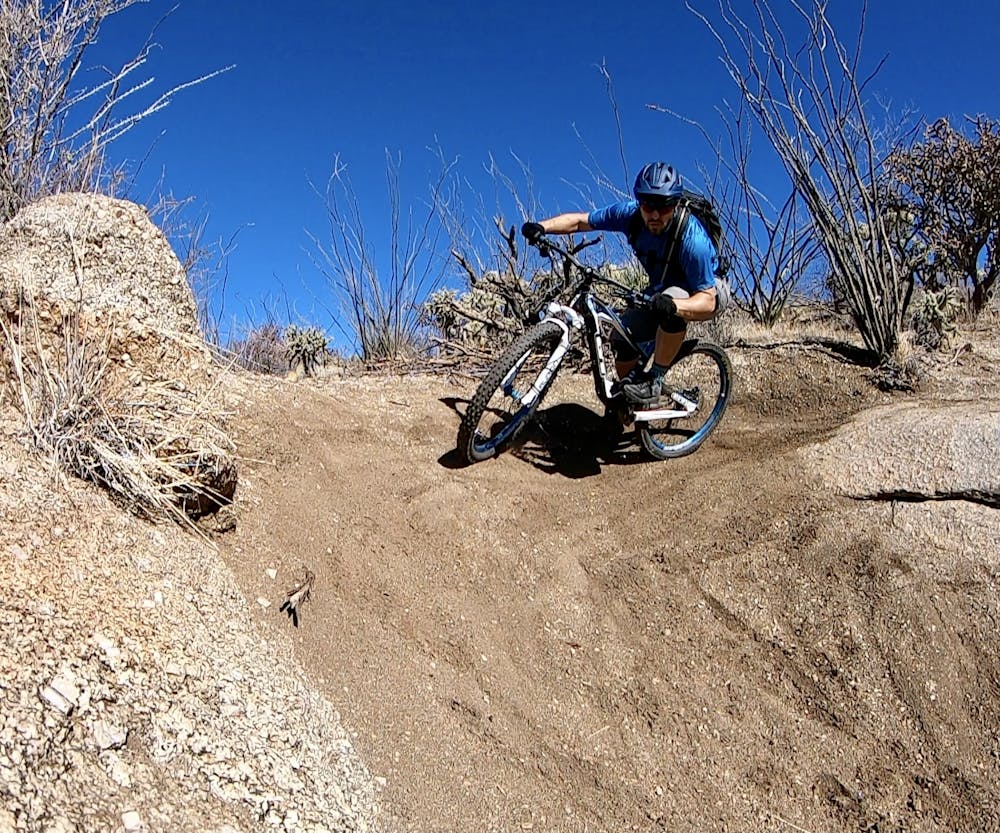
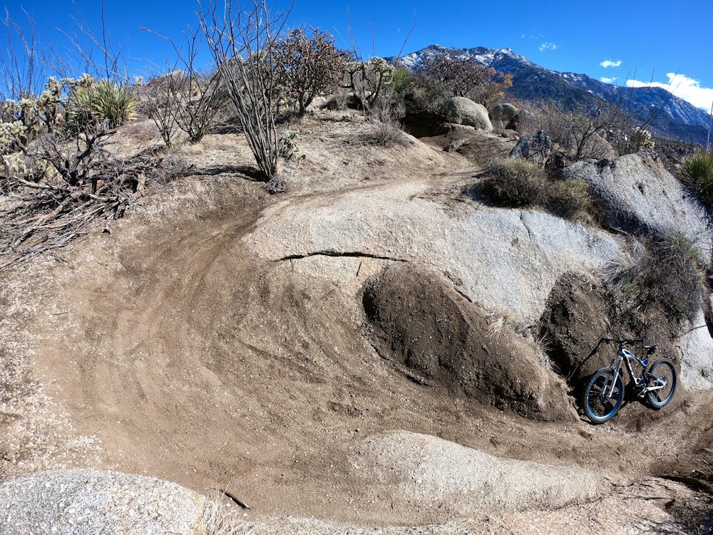
The Chutes
Banked singletrack bobsled runs that swoop down along rolling ridgelines!
Moderate Mountain Biking
- Distance
- 11 km
- Ascent
- 121 m
- Descent
- 121 m
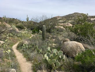
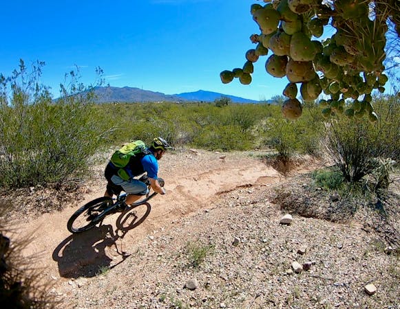
This recommended ride provides a handful of the most challenging slab rides at Golder Ranch in an accessible package.
Mountain Biking Severe

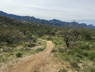
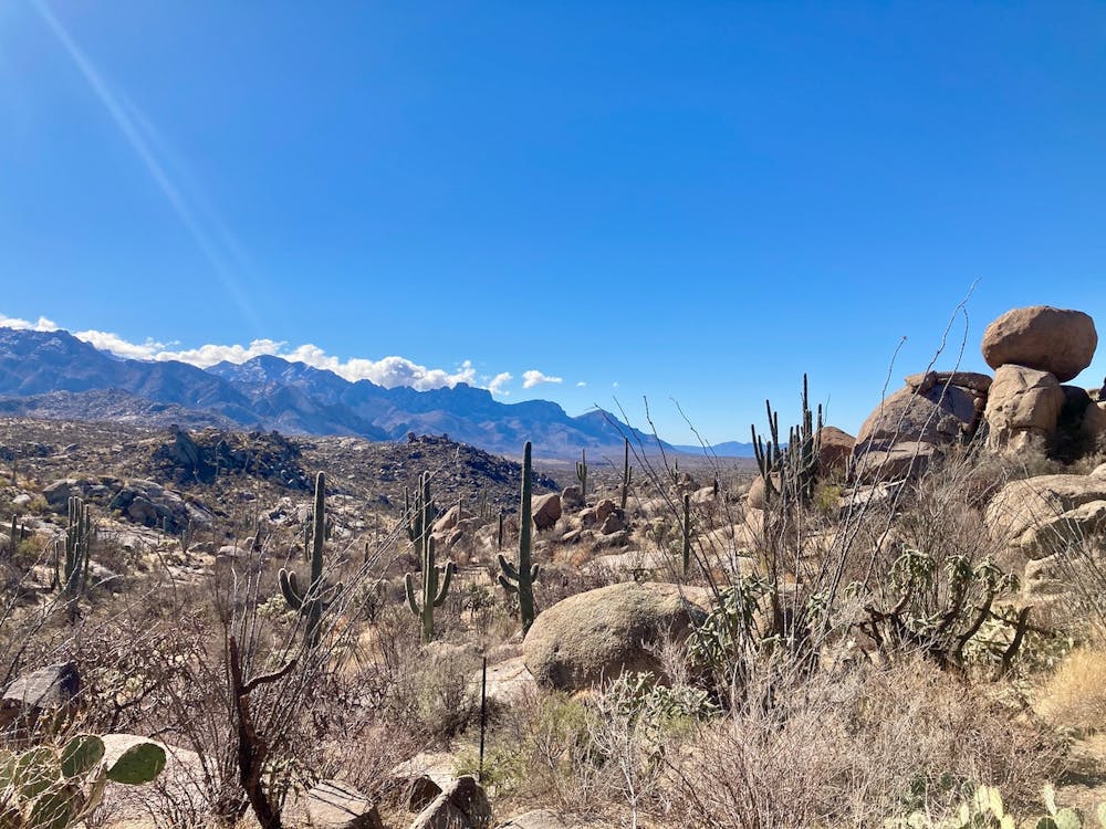
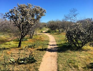
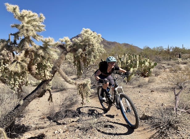
Golder Ranch is a complex trail system with a plethora of trail and route options to choose from. Complicating the decision process is the unfortunate reality that none of the trails in this area are marked, and unless you're using a digital map like FATMAP, you won't have any idea of the name of the particular section of trail that you might be riding. So, if you head out to attempt the Golder Low Loop, I highly recommend that you download this route for offline navigation.
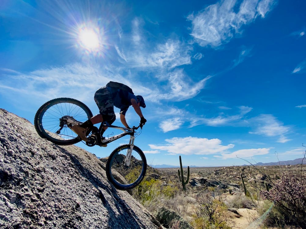


This recommended ride provides a handful of the most challenging slab rides at Golder Ranch in an accessible package that doesn't require you to labor all the way up the Around the Mountain trail. Around the Mountain is a pretty challenging climb that usually requires a fair bit of hike-a-biking, but instead, on this route you'll climb Upper 50-Year and then bop on over to rip down the lower slab sections, finishing out on Middle Gate.
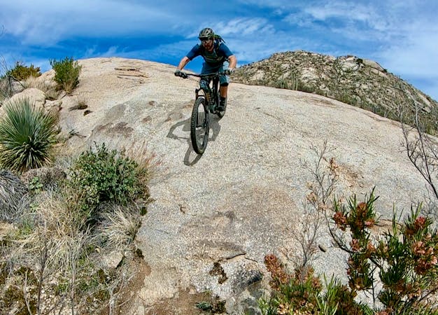
Yes, this route does skip Cowboy Slickrock, which is arguably the marquee trail in the entire trail system. While the slabs on Cowboy Slickrock are more aesthetic, the slabs on Upper 50-Year are some of the steepest and rowdiest on the mountain! You'll still get to enjoy these rowdy romps on this quick-hit ride. (For routes that take you up to Cowboy Slickrock, search for the "Golder High Loop" and "Best of Golder Ranch.")
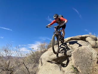
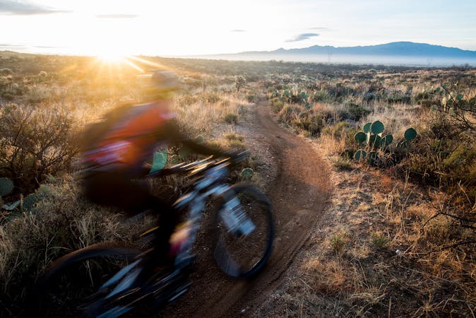
Finally, this route wraps up on Middle Gate, which demands that you climb a bit to begin, but then rewards you with a fast, flowy, somewhat rocky rip down the lower reaches of the mountainside. This high-speed flowy jump trail is an absolute hoot to rail down, and I personally try to incorporate it into every single ride out here at Golder Ranch.
Severe
Widely variable, narrow trail tread with steeper grades and unavoidable obstacles of 15in/38cm tall or less. Obstacles may include unavoidable bridges 24in/61cm wide or less, large rocks, gravel, difficult root sections, and more. Ideal for advanced-level riders.

Some trail sections have exposed ledges or steep ascents/descents where falling could cause serious injury.

Away from help but easily accessed.
Banked singletrack bobsled runs that swoop down along rolling ridgelines!
Moderate Mountain Biking
A challenging ride accessing the upper reaches of the Golder Ranch Trail System.
Severe Mountain Biking
0 m away
This route links up the most entertaining segments in the Golder Ranch trail system for advanced or adventurous intermediate riders.
Severe Mountain Biking
5.7 km away
A classic, scenic desert mountain bike trail that is just plain fun to ride for all skill levels.
Easy Mountain Biking
5.7 km away
An ultra-smooth, ultra-flat beginner ride.
Easy Mountain Biking
5.8 km away
Ride one of Tucson's most renowned stretches of singletrack.
Difficult Mountain Biking

37 routes · Mountain Biking
5 routes · Mountain Biking
6 routes · Mountain Biking
10 routes · Mountain Biking

20 routes · Mountain Biking
5 routes · Mountain Biking

4 routes · Mountain Biking

32 routes · Mountain Biking · Hiking · Road Biking
10 routes · Mountain Biking