
37 routes · Mountain Biking
This route links the best trails in the Granite Basin area into a moderately challenging but highly-entertaining loop.
Mountain Biking Moderate

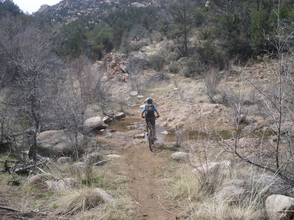
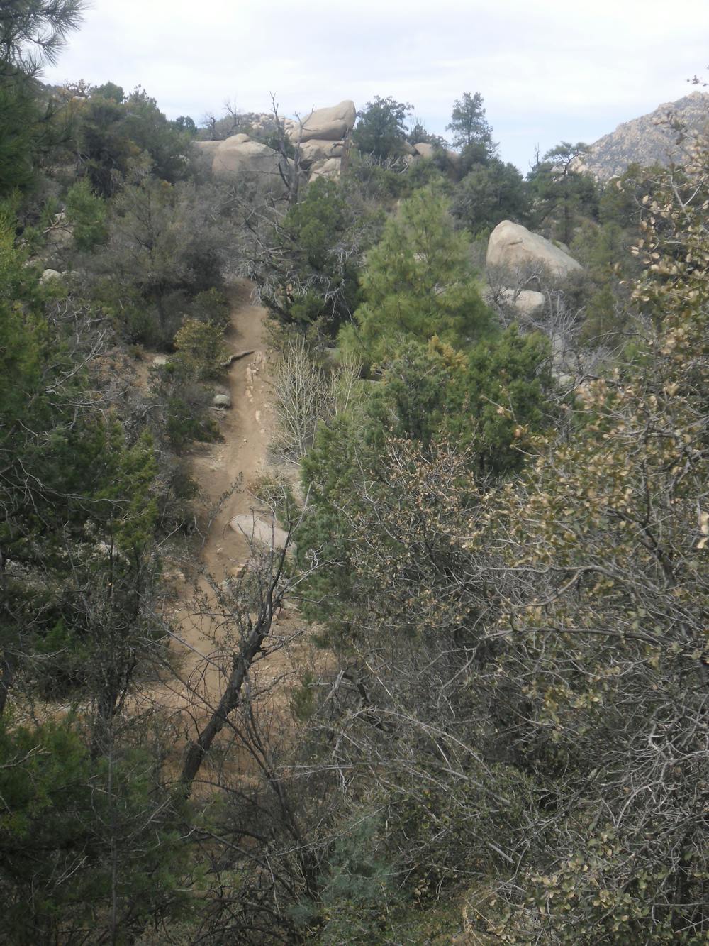
The Granite Basin area lies between the city of Prescott, Arizona, and Granite Mountain, which lies in the Granite Mountain Wilderness Area. This in between area contains a delightful network of singletrack trails with options to expand rides to adjoining networks. This route provides a moderate loop that links together trails in the network for a moderate ride in both distance and challenge, while showing off the best the area has to offer.
The route as presented shows a clockwise pattern, although any of the trails in the area are good in either direction—with the possible exception of the Mint Wash Connector, which is best done downhill. The route as shown follows these segments in this order: Balancing Rock -> West Lake -> Chimbley Water -> Mint Wash Connector -> Mint Wash -> Willow Trail -> Trail #346. Those looking to avoid steeps and who prefer lake scenery should skip the West Lake climb to Chimbley/Mint Wash Connector and go straight to the bottom of Mint Wash from Balancing Rock.
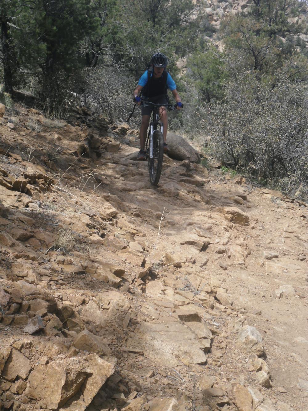
Most of the route is high quality but non-technical singletrack, which perfectly combines fun cross country cruising with very cool pine forest scenery. There is only one notable rock garden, so the route is doable by an adventurous novice is also and tons of fun for a solid intermediate rider. The climbs are moderate and you get a lot of fun bang for your energy buck here. Hammerheads love the area for the options to extend the ride and add on killer mileage.
If you're looking for a super fun cruise through the forest without a huge commitment, and lots of ride customization opportunities, Granite Basin is a great ride. The combination of a little more altitude and plenty of trees also make the Prescott area a nice alternative when Phoenix and even Sedona are baking in the summer heat.
-Written by John Fisch
Moderate
Mostly stable trail tread with some variability, with unavoidable obstacles 8in/20cm tall or less. Other obstacles such as rock gullies and steep sections may exist. Ideal for lower intermediate riders.

The trail contains some obstacles such as outcroppings and rock which could cause injury.

Close to help in case of emergency.
37 routes · Mountain Biking