Peralta Regional Park
Enjoy massive saguaro cacti and beautiful mountain views on this scenic loop ride.
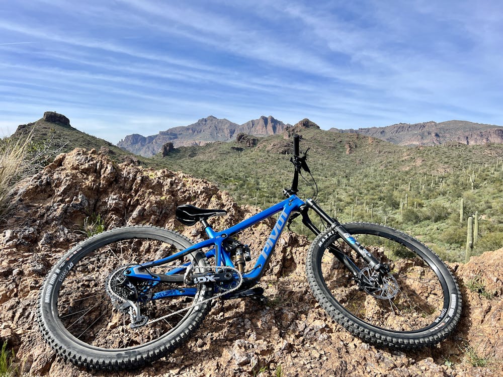
Mountain Biking Difficult
- Distance
- 8.6 km
- Ascent
- 209 m
- Descent
- 209 m
- Duration
- 0-1 hrs
- Low Point
- 614 m
- High Point
- 696 m
- Gradient
- 5˚

Peralta Regional Park is one of the newest trail systems in Arizona, having been opened to the public in February of 2023. Peralta Road was already a mountain bike hot spot, with a complex network of historic singletrack trails, doubletrack trails, social trails, and more. Adding the Peralta Regional Park into the mix only makes this network better!
- •
- •
- •
- •
- •
- •
- •
Description
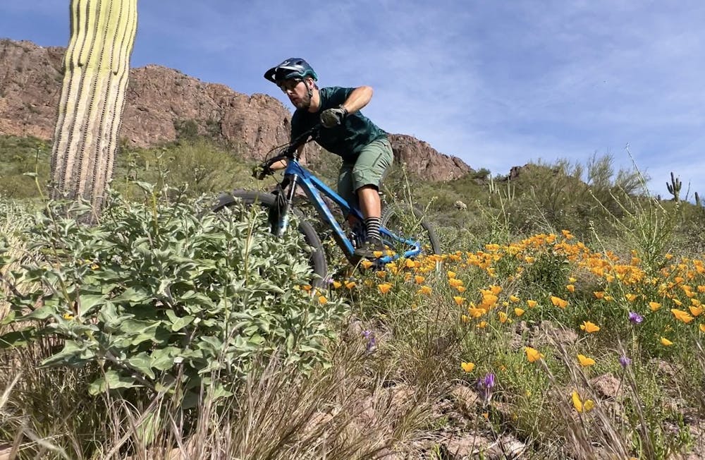
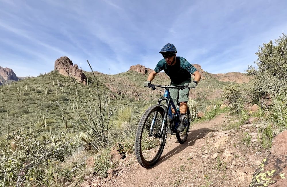
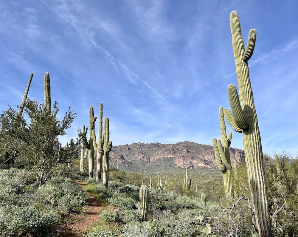
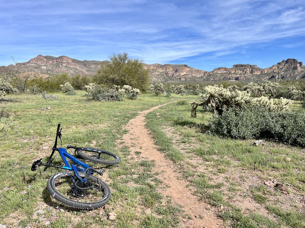
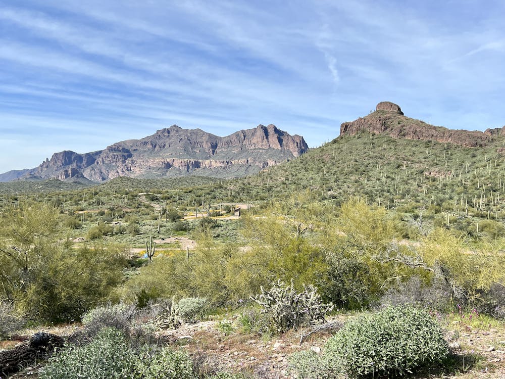
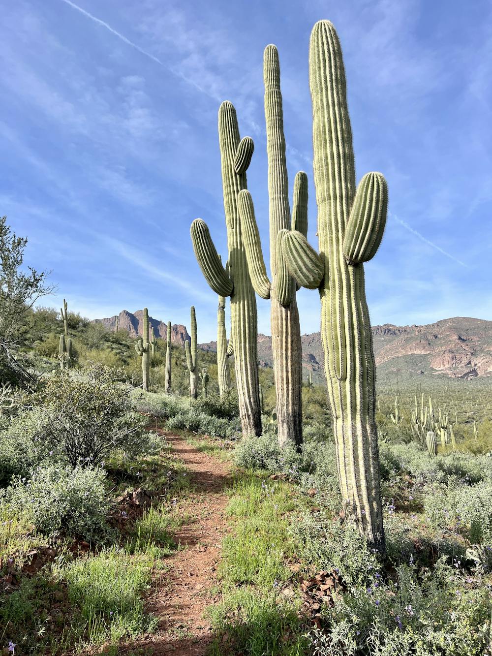
While the newly built trails in this regional park aren’t bike optimized at all, the park is still downright gorgeous. The Saguaro Loop trail is home to absolutely massive cacti, and the mountain views along the entire route are incredible! The final descent on this loop following the Oro Vista Loop West trail is an incredibly scenic and entertaining stretch of singletrack.
Unfortunately, the lack of quality trail building and lack of flow make this trail rather ho-hum for biking. As you ride along, you'll encounter many awkward corners that absolutely kill the flow, along with incredibly-steep and unsustainable sections of trail that were already eroding before they were opened to the public. Even though these trails were obviously laid out and constructed by professionals, the quality of the trail building is very poor. While these trails would definitely make for a better hike than mountain bike ride, sustainability and water management are sport agnostic, and these brand-new trails are already showing damage from erosion.
It's probably not worth going out of your way to ride these new trails, but if you find yourself in the area, you might as well check them off the list.
Difficulty
Difficult
Mostly stable trail tread with some variability featuring larger and more unavoidable obstacles that may include, but not be limited to: bigger stones, roots, steps, and narrow curves. Compared to lower intermediate, technical difficulty is more advanced and grades of slopes are steeper. Ideal for upper intermediate riders.
High Exposure

Some trail sections have exposed ledges or steep ascents/descents where falling could cause serious injury.
Remoteness
Little chance of being seen or helped in case of an accident.
Best time to visit
Features
- Technical
- Picturesque
- Singletrack
- Drops
- Rock Gardens