Burro -> Mustang -> Javelina Loop
Not up for the full Tortolita Mountains Loop? Try this shorter version on for size.
Severe Mountain Biking
- Distance
- 17 km
- Ascent
- 719 m
- Descent
- 719 m
Pedal through a beautiful, undeveloped mountain range to the north of Tucson.
Mountain Biking Severe

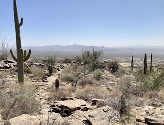
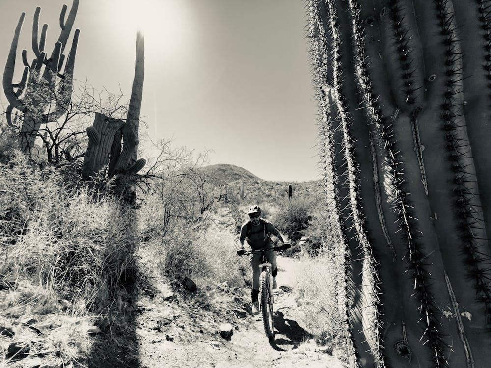
The Tortolita Mountains are located on the north end of the Tucson Metro Area. While this ride departs directly from a subdivision and a Ritz Carlton hotel, you'll quickly climb into a wild, undeveloped mountain range, prompting you to quickly forgetting that you're right next to the city.
This loop is unusual in that the sections of trail closest to the city and the Ritz Carlton are the most difficult and most technical, but the most isolated trails are actually the easiest to ride. The most remote trails in the far reaches of the trail system would only receive a "Moderate" FATMAP rating, whereas the trails closest to the Ritz Carlton would receive "Severe" and "Extreme" Ratings. To keep riders getting in over their heads, this entire route has been assigned a "Severe" rating.
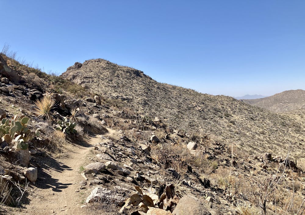
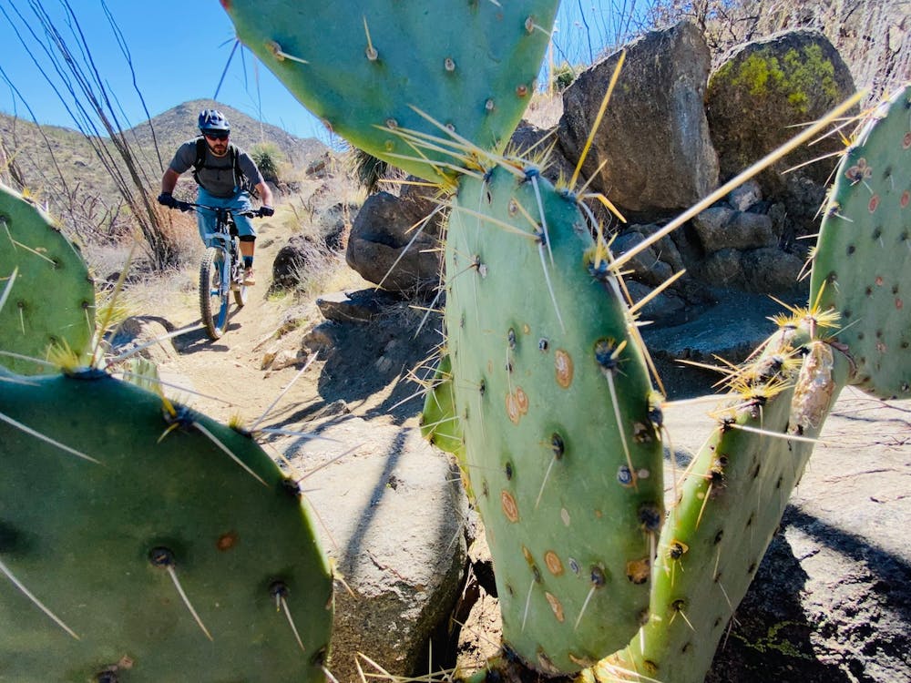
After departing the trailhead, you'll pedal through sandy washes before reaching a mandatory hike-a-bike. This rocky stair-stepped ascent is pretty damn brutal, but rest assured: it's over rather quickly. After cresting the initial hike-a-bike climb, you'll be back on the bike pedaling through up-and-down technical singletrack on your way to the far reaches of the loop.
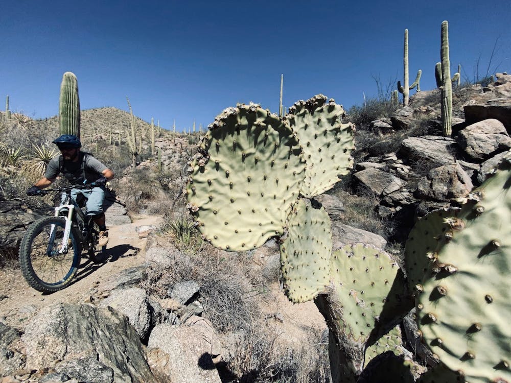
After turning right onto the Ridgeline Trail, the trail character changes dramatically to bike-optimized expertly-constructed singletrack. With flowy turns, manageable climbs, and swoopy descents, this intermediate-friendly stretch of trail is an absolute delight to ride! Despite the lack of technical difficulty, this trail is quite remote, running through the middle of the mountain range and gaining thousands of vertical feet to crest and run along the ridgeline (shocker). From the ridgeline, you'll enjoy expansive views of the Tortolitas, along with glimpses of the city off the other side. After rolling along the ridge for a few miles, you'll rip back down a long descent and cross the wash.
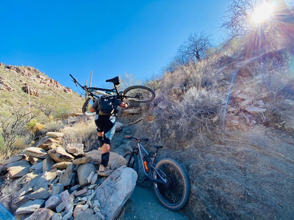
On the other side of the wash, the route ascends a steep, technical climb on its way to the marquee descent down Wild Mustang and Upper Javelina. Some riders will be able to pedal this climb, while others may resort to hike-a-biking.
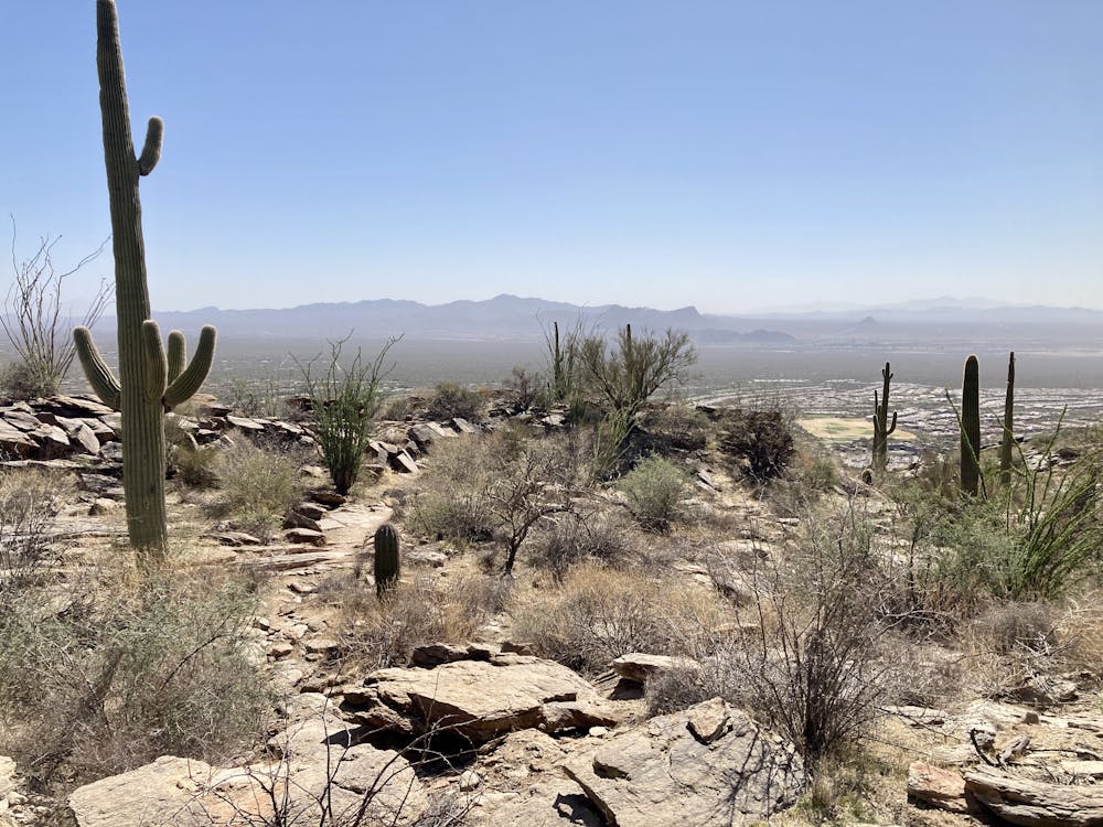
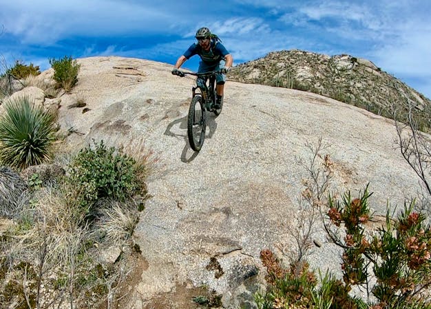
Based on the steep hike-a-bike that you began the ride with, you might fear that Upper Javelina will be downright unrideable. But rest assured: while this is no doubt a challenging black diamond descent, Upper Javelina is quite achievable, with well-built corners, fun rock gardens, slabs, and drops. It's an excellent tech-gnar rip back down to the valley floor.
Once at the bottom, turn left to pedal back to the parking lot where you began.
This loop gets a fraction of the traffic of other trails in the Tucson area due to the difficulty and remoteness, but the beautiful mountains and rad descents are well worth the effort required!
Severe
Widely variable, narrow trail tread with steeper grades and unavoidable obstacles of 15in/38cm tall or less. Obstacles may include unavoidable bridges 24in/61cm wide or less, large rocks, gravel, difficult root sections, and more. Ideal for advanced-level riders.

Some trail sections have exposed ledges or steep ascents/descents where falling could cause serious injury.
Little chance of being seen or helped in case of an accident.
Not up for the full Tortolita Mountains Loop? Try this shorter version on for size.
Severe Mountain Biking

37 routes · Mountain Biking
6 routes · Mountain Biking

32 routes · Mountain Biking · Hiking · Road Biking