110 m away
Uncle Jim Trail
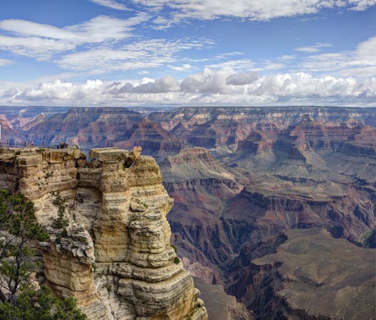
A beautiful trail run on the North Rim with commanding views from Uncle Jim Point.
Moderate Trail Running
- Distance
- 7.5 km
- Ascent
- 232 m
- Descent
- 232 m
A versatile running loop on the North Rim of the Grand Canyon
Trail Running Moderate

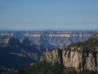
Considered the best vista this side of the Grand Canyon, this 4.5 mile trail run pairs the Bridle and Transept Trails, then detours to Bright Angel Point at its furthest point. While many opt for a simple out-and-back hike from the Visitor Center, trail runners should consider this loop if there is time to spare. The loop is a mixture of both paved and unpaved paths with no significant elevation gain. By most runner's standards, the loop is entirely runnable. It can also be run in either direction.
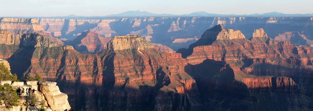
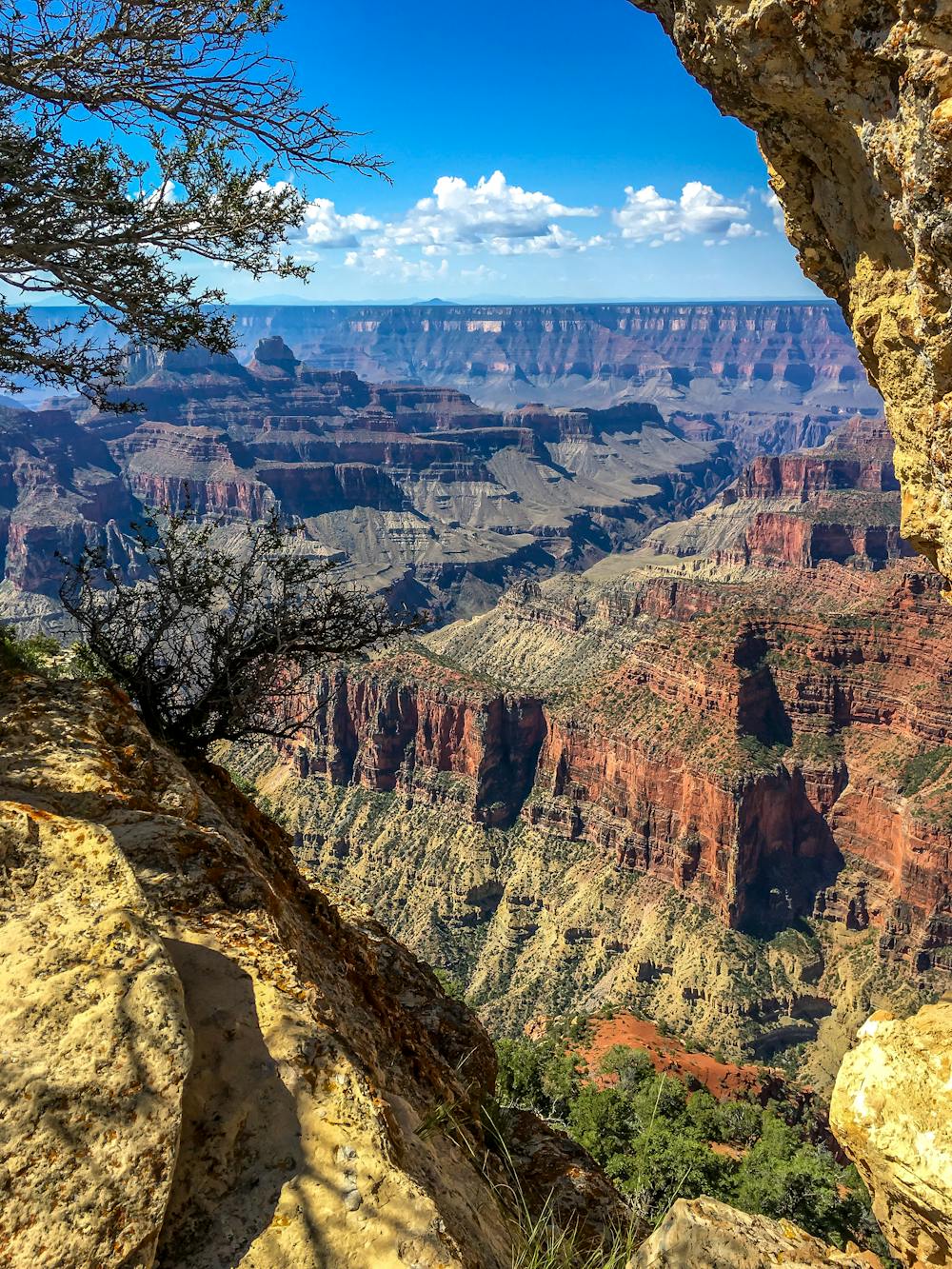
From Bright Angel Point, visitors are awarded commanding views of Roaring Springs Canyon to the east, Bright Angel Canyon to the south, and Oza Butte to the west. For those who have dreamt of a full Rim to Rim traverse, the route passes through the canyons below, though steep cliffs shield it from view. If you start at the North Kaibab Trailhead, you may even witness runners reaching the halfway point of a full Rim to Rim to Rim (R2R2R) run!
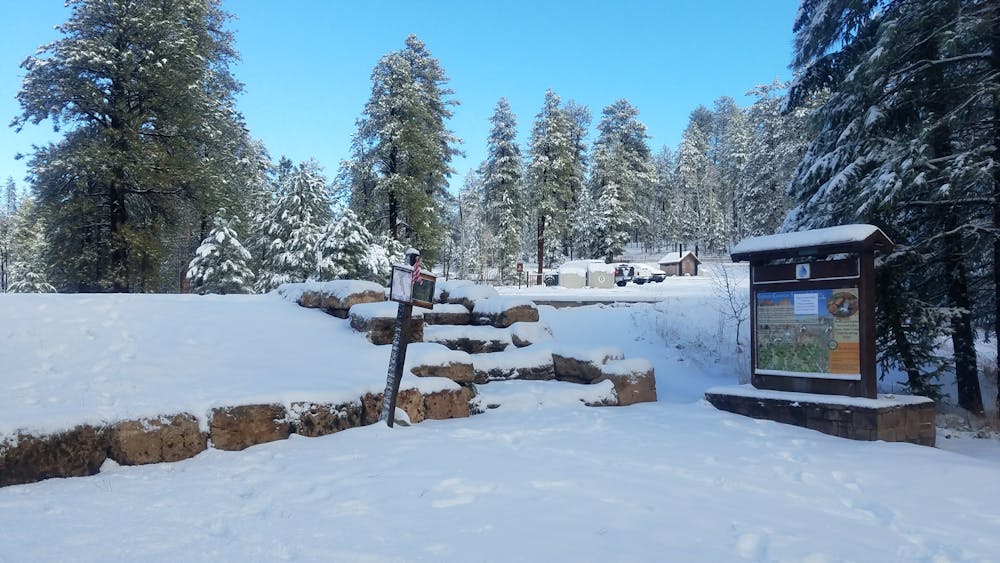
For those visiting for a day, you have the choice to begin at either the North Kaibab Trailhead or the Visitor Center. If you have campground reservations, you could also access the loop from one of the many connector trails. While the Visitor Center is seasonally open from May 15th to October 15th, the road to the South Kaibab Trailhead remains open through November 31st. Be extremely mindful of road conditions and upcoming weather patterns as the date approaches. There are numerous stories of vehicles stuck in snow remaining there throughout the winter. Recovering them can become extremely challenging during heavy winter storms.
Souces: https://www.americansouthwest.net/arizona/grandcanyon/bright-angel-point.html https://www.nps.gov/grca/planyourvisit/hours.htm
Moderate

The trail contains some obstacles such as outcroppings and rock which could cause injury.

Close to help in case of emergency.
110 m away
A beautiful trail run on the North Rim with commanding views from Uncle Jim Point.
Moderate Trail Running
11 routes · Trail Running