Alameda Creek Regional Trail Out-and-Back
Bay Area
A beautiful greenway path ending on the shores of the San Francisco Bay.
Gravel Biking Easy
- Distance
- 36 km
- Ascent
- 113 m
- Descent
- 113 m
- Duration
- 2-3 hrs
- Low Point
- 3 m
- High Point
- 26 m
- Gradient
- 0˚

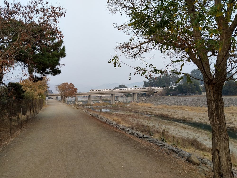
The Alameda Creek Regional Trail is a wide greenway path following Alameda Creek—the largest stream in the Bay Area—from the mouth of Niles Canyon in Fremont to where it enters the San Francisco Bay. The final destination of this 11-mile (one-way) path at the shores of the Bay, located next to the scenic Coyote Hills Regional Park, is truly beautiful and a fantastic spot to simply pause and enjoy the beauty of nature.
Description
The trail consists of a combination of asphalt and gravel surfaces, making it accessible to a wide variety of trail users. Even though this route has been uploaded for cyclists, the trail is also perfect for runners, hikers, dog walkers, and more.
Sources: https://www.traillink.com/trail/alameda-creek-regional-trails/ https://snoflo.org/parks/california/alameda-creek-regional-trail
Difficulty
Easy
Remoteness

Close to help in case of emergency.