Coyote Creek Trail
Bay Area
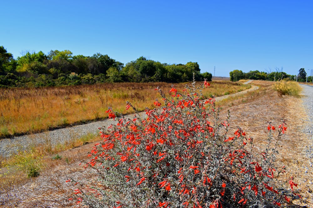
A beautiful greenway path in the southern San Jose area.
Gravel Biking Easy
- Distance
- 35 km
- Ascent
- 168 m
- Descent
- 258 m
- Duration
- 2-3 hrs
- Low Point
- 23 m
- High Point
- 119 m
- Gradient
- 1˚

The Coyote Creek Trail is a lengthy greenway path in San Jose consisting of a mix of crushed gravel and asphalt pavement. The mixed surface makes it ideal for gravel bikers, hikers, and runners. Riders on true road bikes will probably struggle with the gravel sections on this trail.
Description
The route shown here measures about 21 miles one-way, although some sources note that the trail measures over 25 miles in total. However, several northern portions of the trail are quite disconnected, making for a disjointed ride.
The southern stretches, on the other hand, are much more continuous. The southernmost section, known as the Coyote Creek Parkway, stretches from Hellyer Park to Anderson Lake, running through a chain of gorgeous county parks that line the creek.
Sources: https://www.traillink.com/trail/coyote-creek-trail https://www.sanjose.org/attraction/coyote-creek-trail https://www.americantrails.org/resources/coyote-creek-trail-san-jose-trail-network-california https://en.wikipedia.org/wiki/CoyoteCreekTrail
Difficulty
Easy
Remoteness

Close to help in case of emergency.