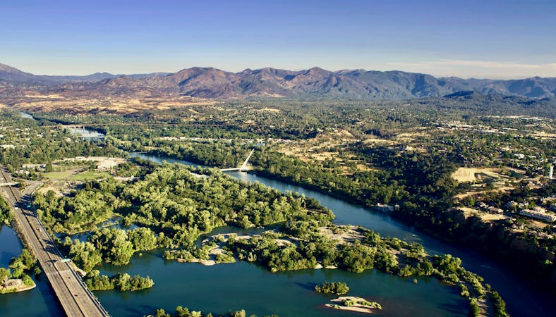
4 routes · Mountain Biking · Hiking
Gain stunning 360-degree views from the top of Chamise Peak.
Hiking Moderate

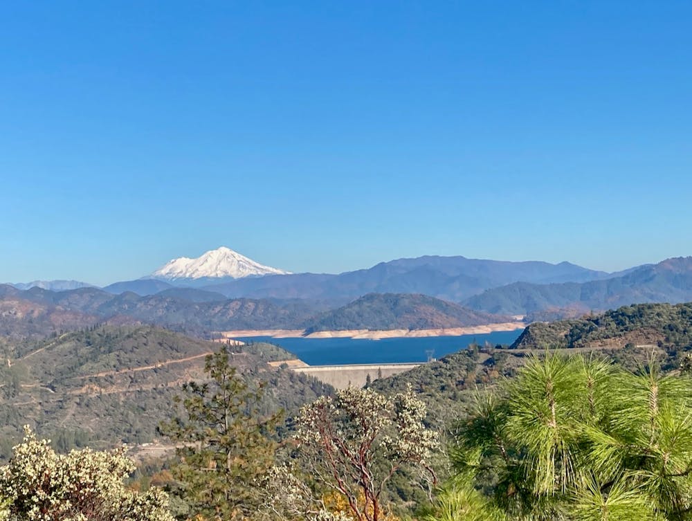
The hike up Chamise Peak provides an excellent view-to-effort ratio that every hiker—from newbie to experienced—is sure to enjoy! From the top of Chamise, you'll get to soak in 360-degree views that include Mount Shasta, Shasta Lake, Shasta Dam, Keswick Reservoir, the Sacramento River, the Southern Klamath Mountains, Lassen Peak, and so much more.
The hike to the top of Chamise Peak follows a smooth, non-technical trail the entire time. This smooth track winds slowly uphill from the parking lot on an evenly-graded trail, which is easy on the knees when both climbing and descending. While the entire hike will cover almost 5 miles of distance round-trip, this is still a very approachable route that many people will be able to complete.
There are a few turns along the way, but all of the turns are well-signed, with arrows pointing toward the peak. As you near the top, the trail circles Chamise several times as it finishes the climb, affording you plenty of time to soak in the views of the region from every single angle.
Once on top, you'll spot a picnic table that provides the perfect spot for a sack lunch, with stunning views of Mount Shasta and the other aforementioned landmarks. Take some time to soak in this incredible spot—it doesn't get much better than this!
Moderate
Hiking along trails with some uneven terrain and small hills. Small rocks and roots may be present.

The path is on completely flat land and potential injury is limited to falling over.

Away from help but easily accessed.
4 routes · Mountain Biking · Hiking

52 routes · Mountain Biking · Freeride Skiing · Gravel Biking · Hiking · Road Biking