11 routes · Hiking
A popular Death Valley hike with colorful formations in a beautiful canyon.
Hiking Difficult

Golden Canyon offers numerous route options, ranging from 3-8 miles, but for a truly spectacular experience, start at the Golden canyon trailhead and make a 6-mile loop through Golden Canyon and Glower Gulch.

Though this area is a favorite in Death Valley National Park and, as such, can be quite busy, it is possible to enjoy it with few others. The best way to avoid the glut of people is to visit during the shoulder season. December can be fantastic! Though there may be a greater chance of rain and fog, late fall is cooler and far more pleasant than summer for longer hikes.
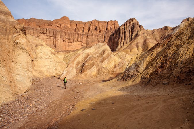
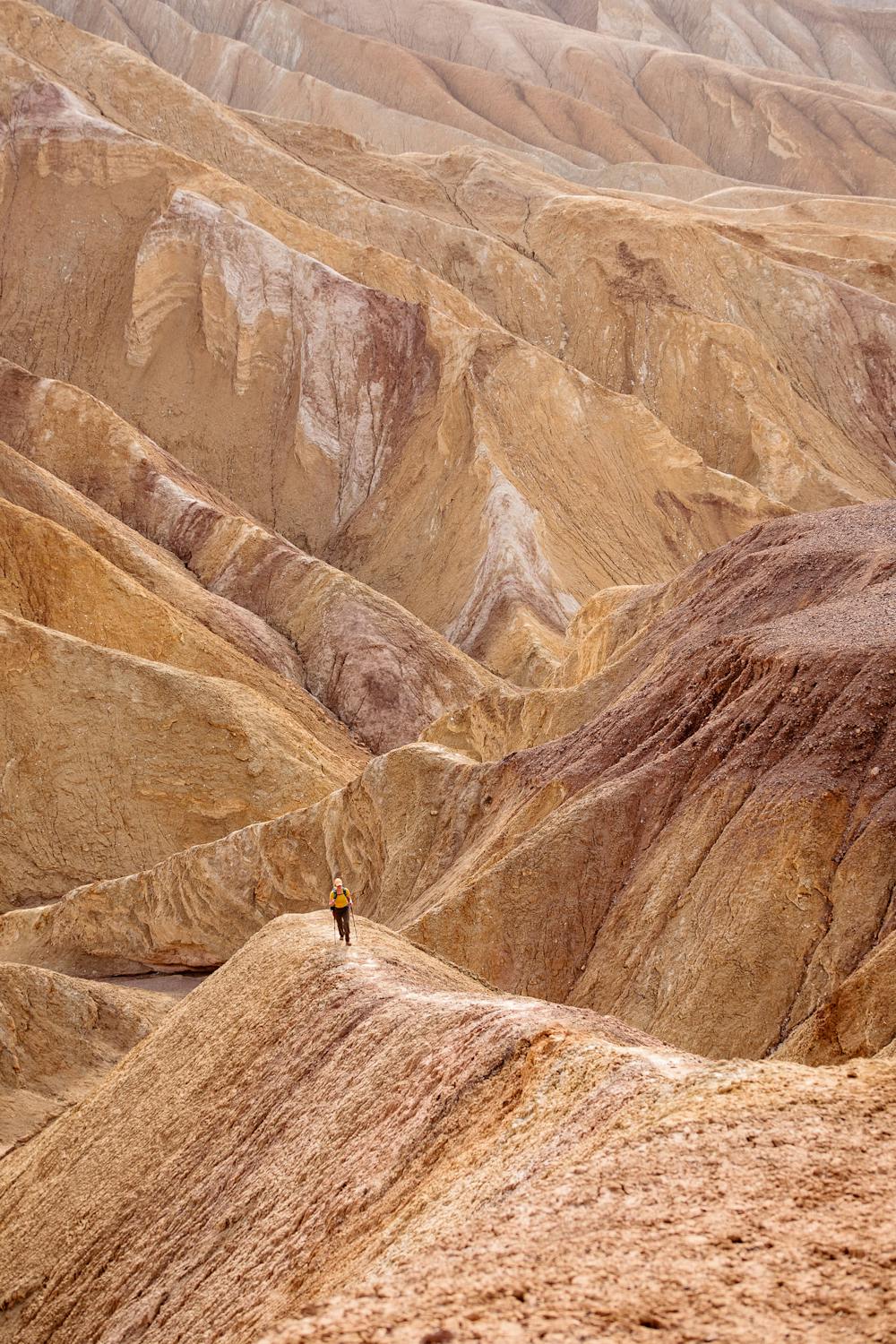
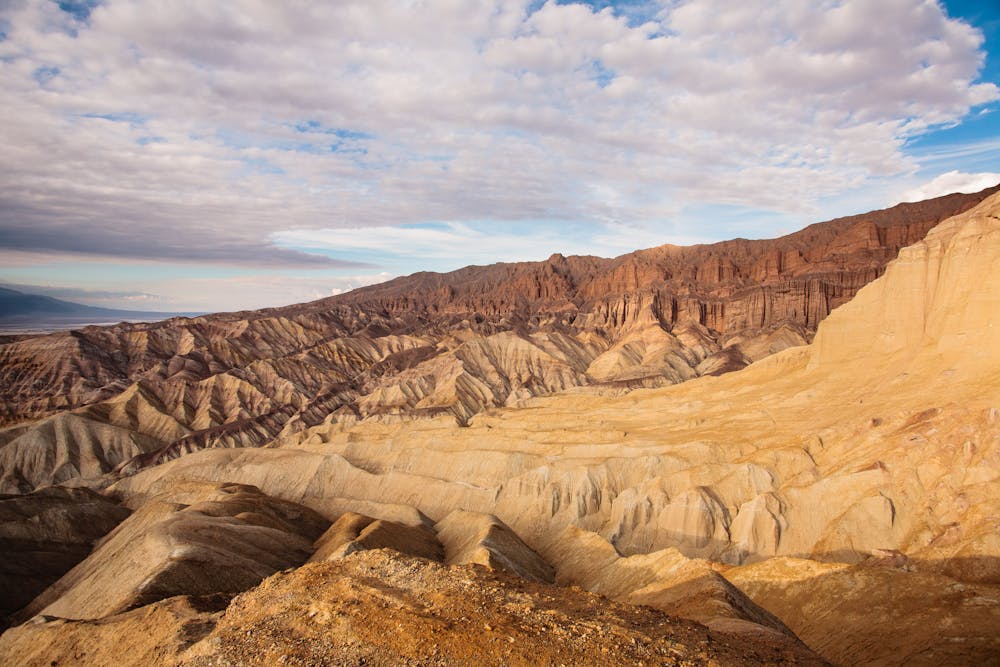
The Golden Canyon-Glower Gulch loop starts with a stunning tour through a gorgeous canyon. There are many little spur trails on the ridges above the canyon, which allow for some amazing views of the striated colors of Golden Canyon. If interested in geology and history, it is worth picking up an interpretive guide from the Death Valley Visitor Center before heading out to Golden Canyon. The guide links with the numbered signs in the Canyon and provides information about each area; fascinating stuff!
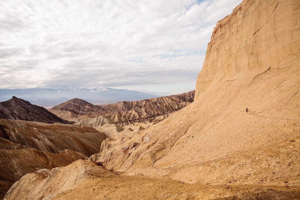
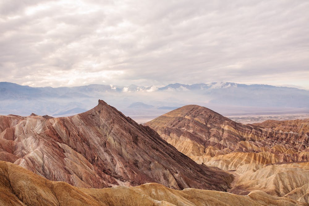
After leaving Golden Canyon, the trail wraps around the base of "Manly Beacon," a huge formation jutting starkly upward. Be sure to take plenty of time to gawk in wonderment at the breathtakingly colorful stripes in the wash down below.
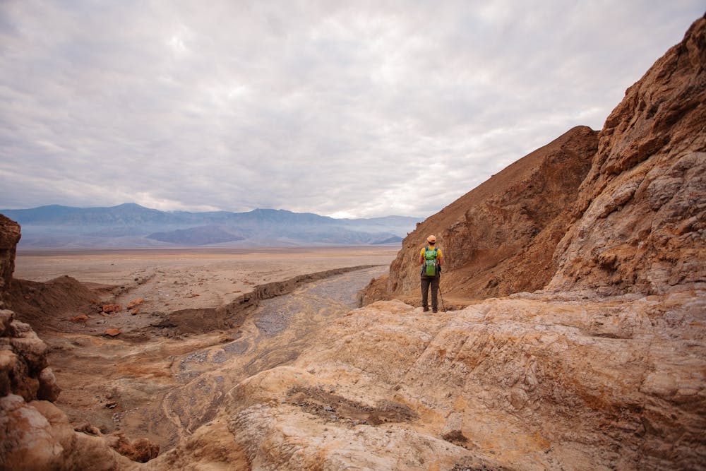
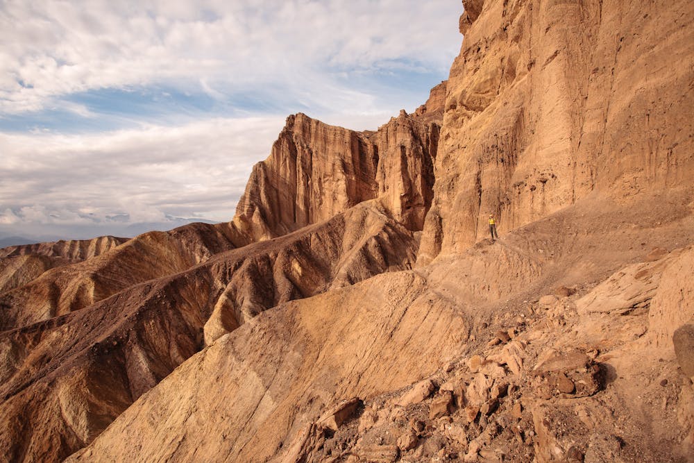
At around 3.5 miles, head down the wash heading for Glower Gulch. Though this is an unsigned junction, you just need to continue down the wash until arriving at a side wash, where you'll veer right. This wash will eventually come to a 30-foot dryfall. There is an obvious social trail around to the right, which leads hikers to the trail back to the Golden Canyon trailhead.
Allow enough time to fully explore and appreciate this 6-mile loop. Treks in Death Valley are best meandered, rather than hurried. Poke around, do some scrambling, take pictures, drink it all in!
As with all desert hikes, be prepared with the 10 essentials and PLENTY of water. A brimmed hat and sunglasses and sunscreen are necessities.
The Golden Canyon Trailhead is two miles south of CA-190 on Badwater Road.
Sources: https://www.nps.gov/deva/planyourvisit/golden-canyon.htm
Difficult
Hiking trails where obstacles such as rocks or roots are prevalent. Some obstacles can require care to step over or around. At times, the trail can be worn and eroded. The grade of the trail is generally quite steep, and can often lead to strenuous hiking.

Some trail sections have exposed ledges or steep ascents/descents where falling could cause serious injury.
Little chance of being seen or helped in case of an accident.
11 routes · Hiking