8.7 km away
Heritage Grove Loop
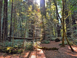
A satisfying hike with deep forest, an airy mountain top, and some impressive old-growth redwoods.
Moderate Hiking
- Distance
- 6 km
- Ascent
- 266 m
- Descent
- 266 m
Quiet and shady loop climbing and descending Windy Hill
Hiking Difficult

This is a popular hiking route which is generally considered to be difficult. It's remote, it features medium exposure and is typically done between March and November. From a low point of 189 m to the maximum altitude of 553 m, the route covers 13 km, 549 vertical metres of ascent and 548 vertical metres of descent.
Shaded loop with less traffic than other parts of the park
Difficult
Hiking trails where obstacles such as rocks or roots are prevalent. Some obstacles can require care to step over or around. At times, the trail can be worn and eroded. The grade of the trail is generally quite steep, and can often lead to strenuous hiking.

The trail contains some obstacles such as outcroppings and rock which could cause injury.
Away from help but easily accessed.
8.7 km away
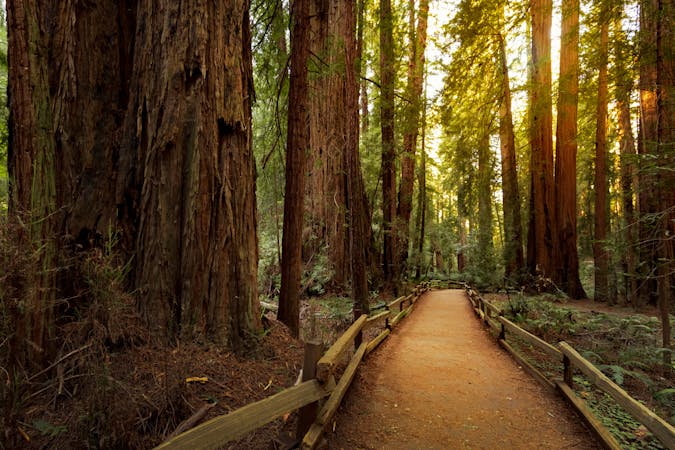
A satisfying hike with deep forest, an airy mountain top, and some impressive old-growth redwoods.
Moderate Hiking
5 routes · Hiking

14 routes · Hiking