
9.5 km away
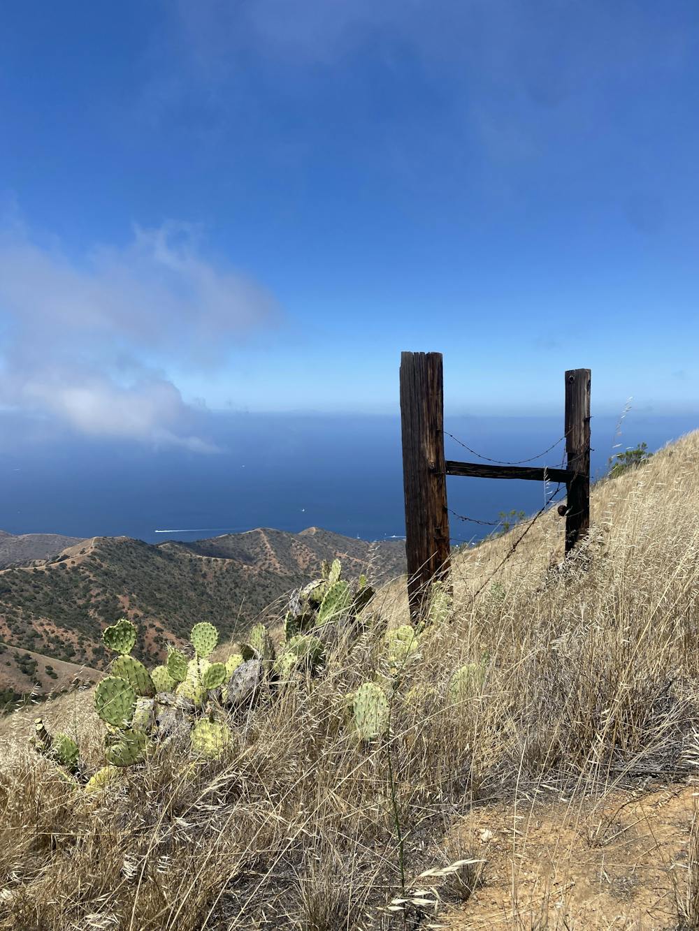
Trans-Catalina Trail: Little Harbor to Parsons Landing and Two Harbors
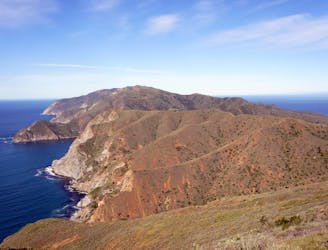
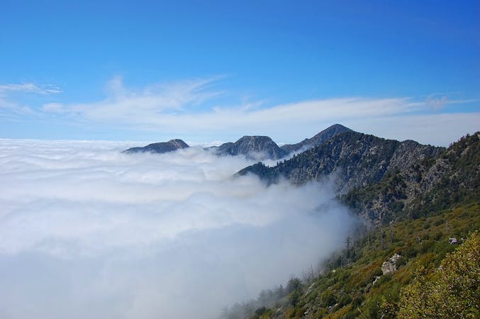
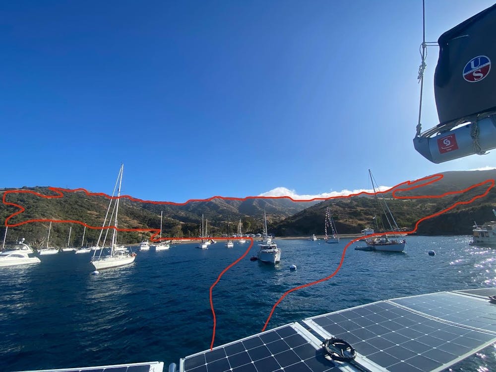
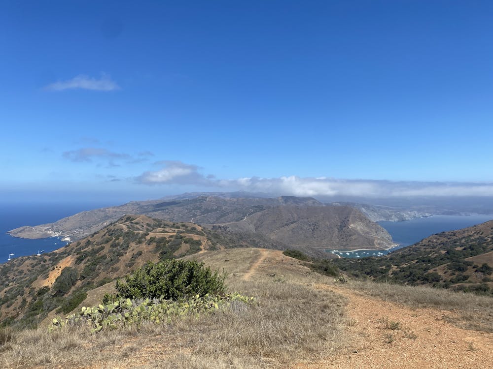
The second half of the Trans-Catalina thru hike, crossing over mountains and the island's isthmus to camp on a remote shore.
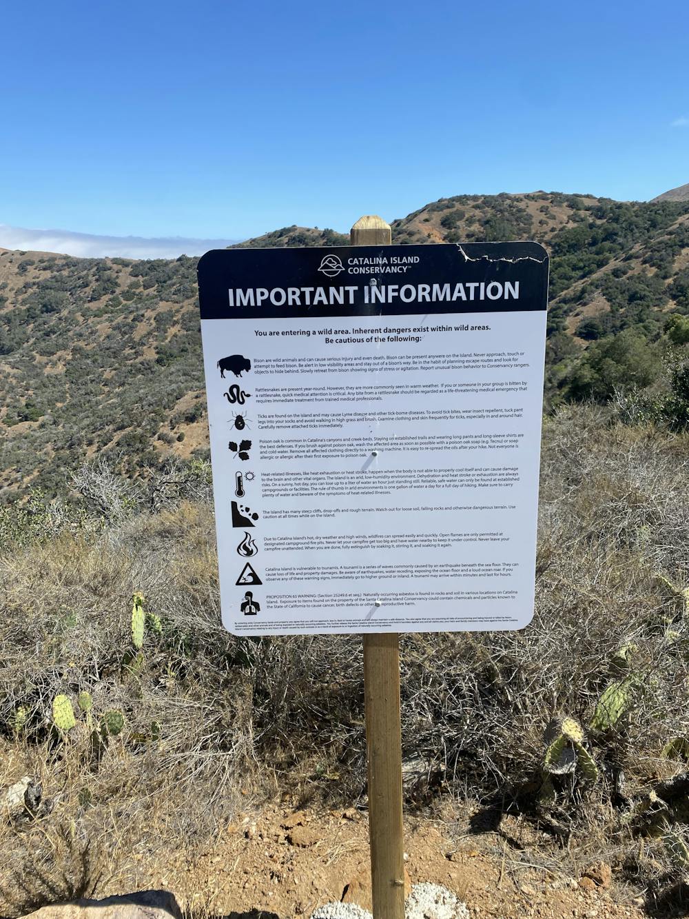
Difficult Hiking
- Distance
- 31 km
- Ascent
- 1.3 km
- Descent
- 1.3 km