Jones Trail -> Los Gatos Creek Trail Loop
Bay Area
Turn the Los Gatos Creek Trail into a more adventurous hike by using the Jones Trail.
Hiking Easy
- Distance
- 6.2 km
- Ascent
- 178 m
- Descent
- 178 m
- Duration
- 1-2 hrs
- Low Point
- 110 m
- High Point
- 267 m
- Gradient
- 8˚

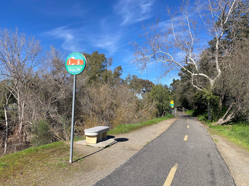
The Los Gatos Creek Trail is a lengthy paved greenway trail running through the San Jose metro area. However, the route shown here forms a more adventurous loop route by utilizing the Jones Trail.
Description
The Jones Trail begins by ascending along an old fire road composed of crumbling asphalt. From there, the hike follows progressively narrower paths at it winds along the mountainside, offering beautiful views in a serene woodland.
Eventually, the Jones Trail drops down to Los Gatos Creek, running downhill along the creek before crossing via a bridge. Once on the other side of the creek, the hike turns left on the paved Los Gatos Creek Trail to return uphill to Lexington Reservoir, where you began.
Sources: https://parks.sccgov.org/santa-clara-county-parks/los-gatos-creek-county-park https://www.theoutbound.com/california/hiking/hike-los-gatos-trail-to-jones-trail-loop
Difficulty
Easy
Walking along a well-kept trail that’s mostly flat. No obstacles are present.
Low Exposure

The path is on completely flat land and potential injury is limited to falling over.
Remoteness
Close to help in case of emergency.
Best time to visit
Features
- Picturesque
- Water features
- Family friendly