Kate's Birthday Hike
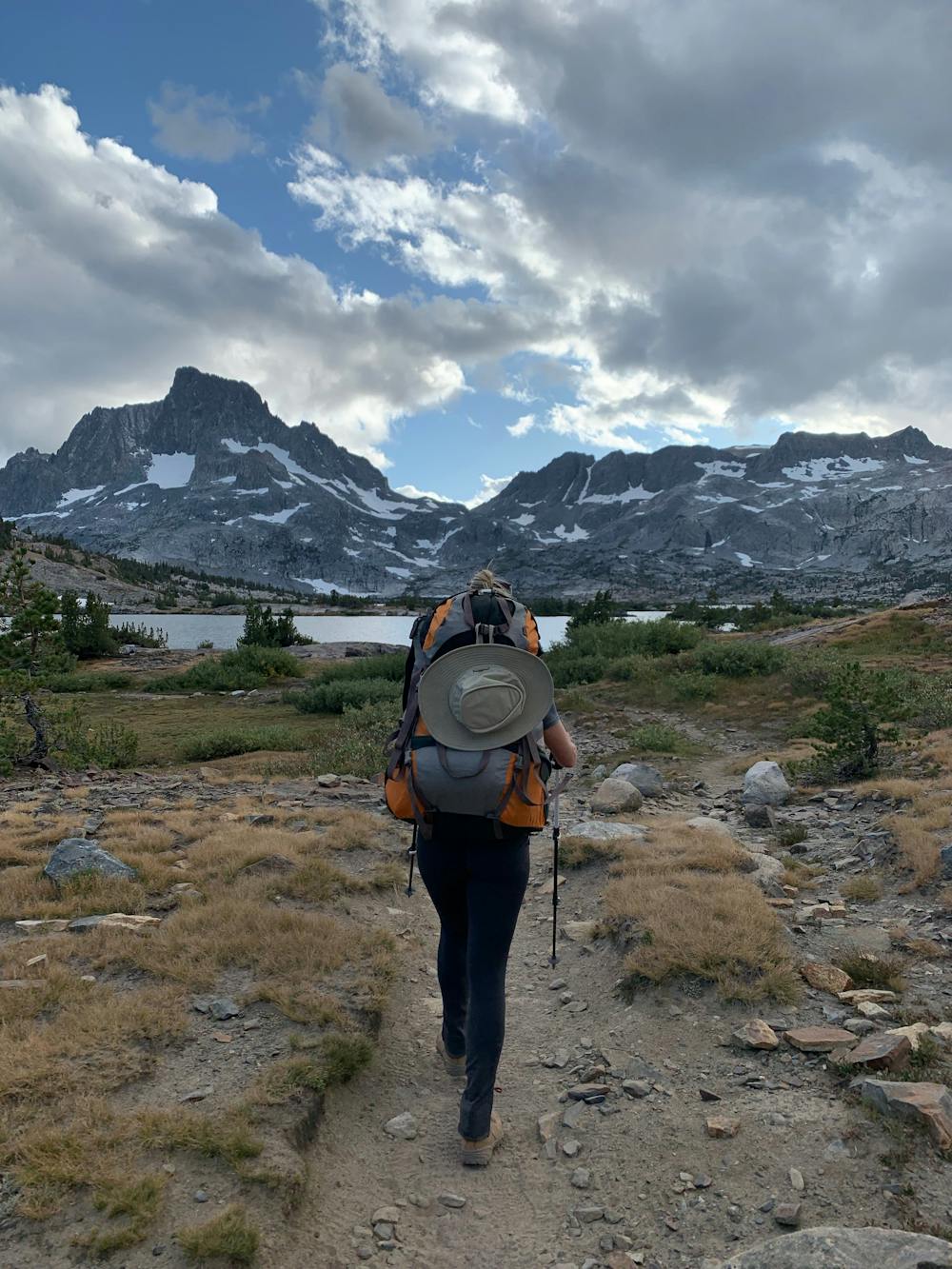
An Overnight backpack to 1000 island lake
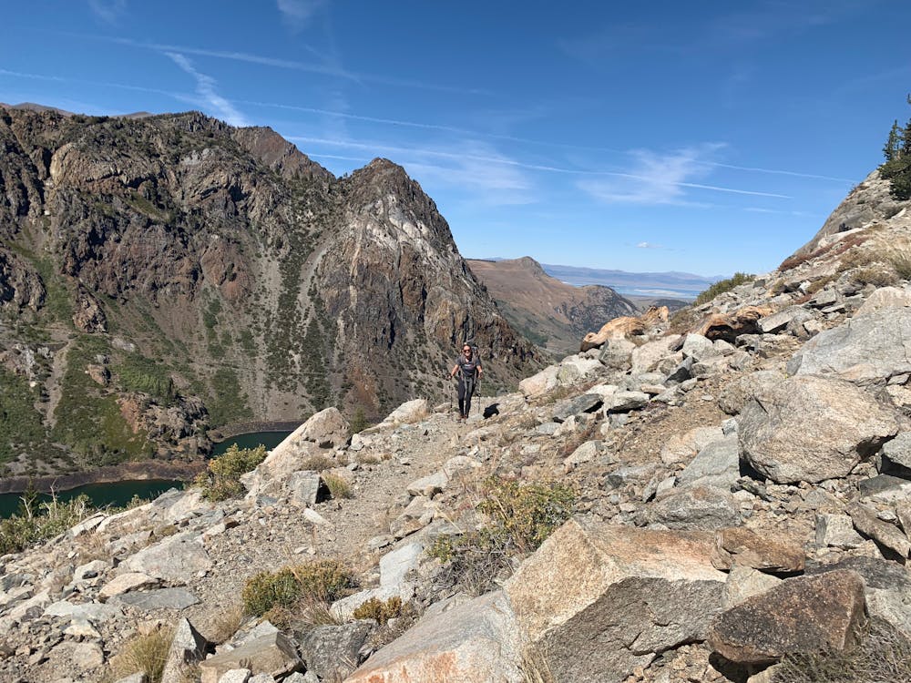
Hiking Difficult
- Distance
- 29 km
- Ascent
- 1.4 km
- Descent
- 1.4 km
- Duration
- 1 day +
- Low Point
- 2.2 km
- High Point
- 3.1 km
- Gradient
- 12˚

This is a popular hiking route which is generally considered to be difficult. It's remote, it features medium exposure and is typically done between June and October. From a low point of 2.2 km to the maximum altitude of 3.1 km, the route covers 29 km, 1376 vertical metres of ascent and 1378 vertical metres of descent.
- •
- •
- •
- •
- •
- •
- •
Description
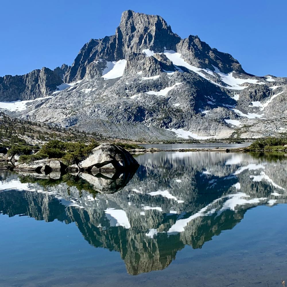
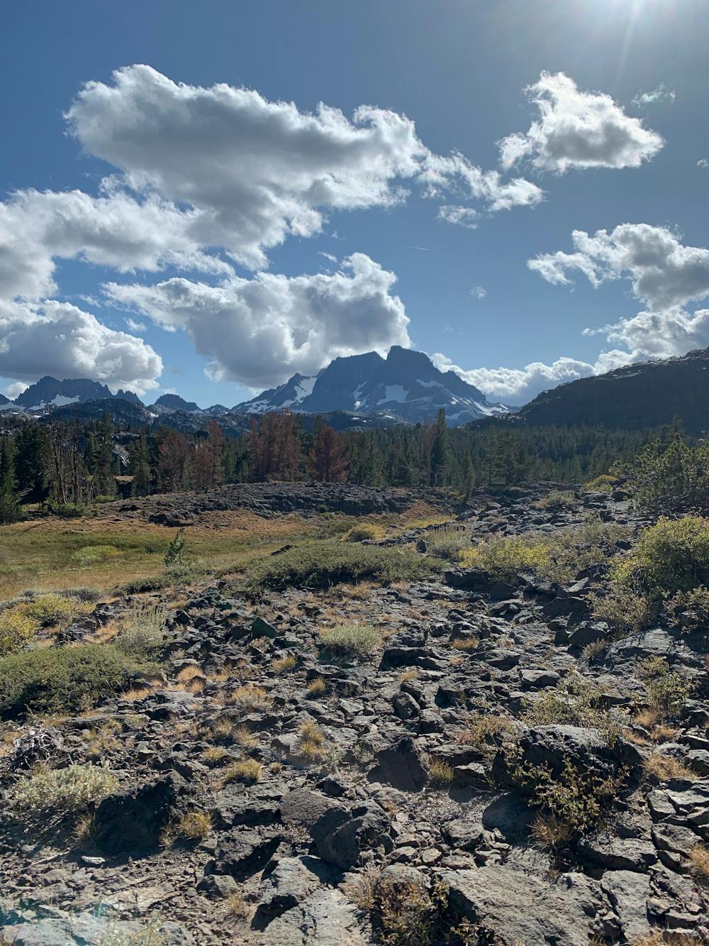
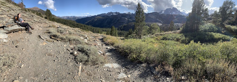
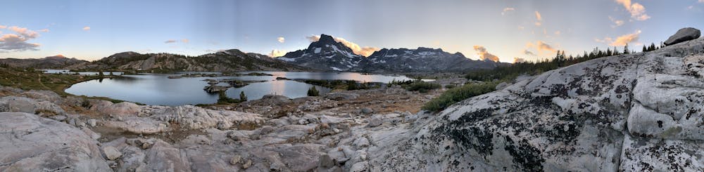
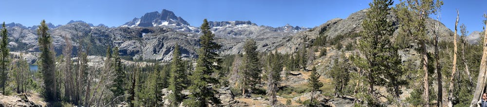
An awesome hike to a beautiful alpine lake
Difficulty
Difficult
Hiking trails where obstacles such as rocks or roots are prevalent. Some obstacles can require care to step over or around. At times, the trail can be worn and eroded. The grade of the trail is generally quite steep, and can often lead to strenuous hiking.
Medium Exposure

The trail contains some obstacles such as outcroppings and rock which could cause injury.
Remoteness
Away from help but easily accessed.
Best time to visit
Features
- Alpine
- Picturesque
- Dog friendly
- Water features