


4.1 km away
PCT: Cottonwood Pass to Crabtree Meadow
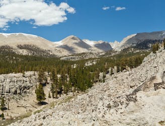
Miles 750.2-767 of the northbound PCT, and the end of CA Section G: Forging higher into the Sierra and joining with the John Muir Trail near Mount Whitney.
Moderate Hiking
- Distance
- 26 km
- Ascent
- 861 m
- Descent
- 972 m
