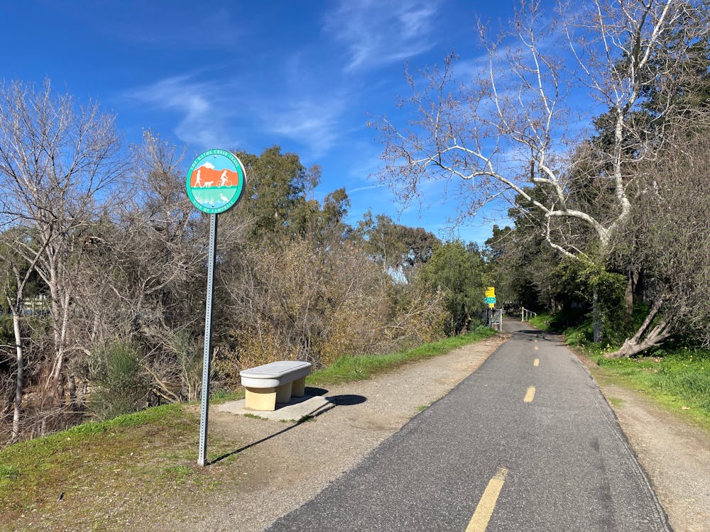
Los Gatos Creek Trail
Bay Area
Popular greenway trail in the San Jose metro area.
Hiking Easy
- Distance
- 16 km
- Ascent
- 60 m
- Descent
- 224 m
- Duration
- 3-4 hrs
- Low Point
- 39 m
- High Point
- 206 m
- Gradient
- 3˚

The Los Gatos Creek Trail is a lengthy paved greenway trail running through the San Jose metro area. This trail is extremely popular with road cyclists (both recreationally and for commuting), but walkers/hikers, runners, skaters, and more all use this trail.
Description
The route shown here is a 10-mile point-to-point route beginning at the Lexington Reservoir and running mostly downhill into the San Jose metro area. It's possible to tailor the route's distance to accommodate your needs, with one popular ride itinerary being an out-and-back beginning in San Jose. You can also walk or run a much shorter route, beginning from any number of access points along the trail.
Sources: https://parks.sccgov.org/santa-clara-county-parks/los-gatos-creek-county-park
Difficulty
Easy
Walking along a well-kept trail that’s mostly flat. No obstacles are present.
Low Exposure

The path is on completely flat land and potential injury is limited to falling over.
Remoteness
Close to help in case of emergency.
Best time to visit
Features
- Family friendly