Lundy to Twenty Lakes Basin
Wildflowers, waterfalls, high alpine lakes, this hike has it all.
Hiking Severe
- Distance
- 16 km
- Ascent
- 829 m
- Descent
- 826 m
- Duration
- 4-5 hrs
- Low Point
- 2.5 km
- High Point
- 3.2 km
- Gradient
- 18˚

This is a popular hiking route which is generally considered to be severe. It's remote, it features medium exposure and is typically done between June and October. From a low point of 2.5 km to the maximum altitude of 3.2 km, the route covers 16 km, 829 vertical metres of ascent and 826 vertical metres of descent.
- •
- •
- •
- •
- •
- •
Description
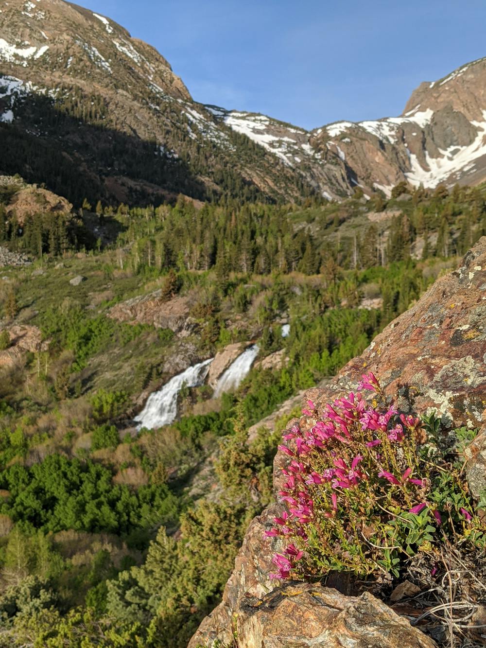
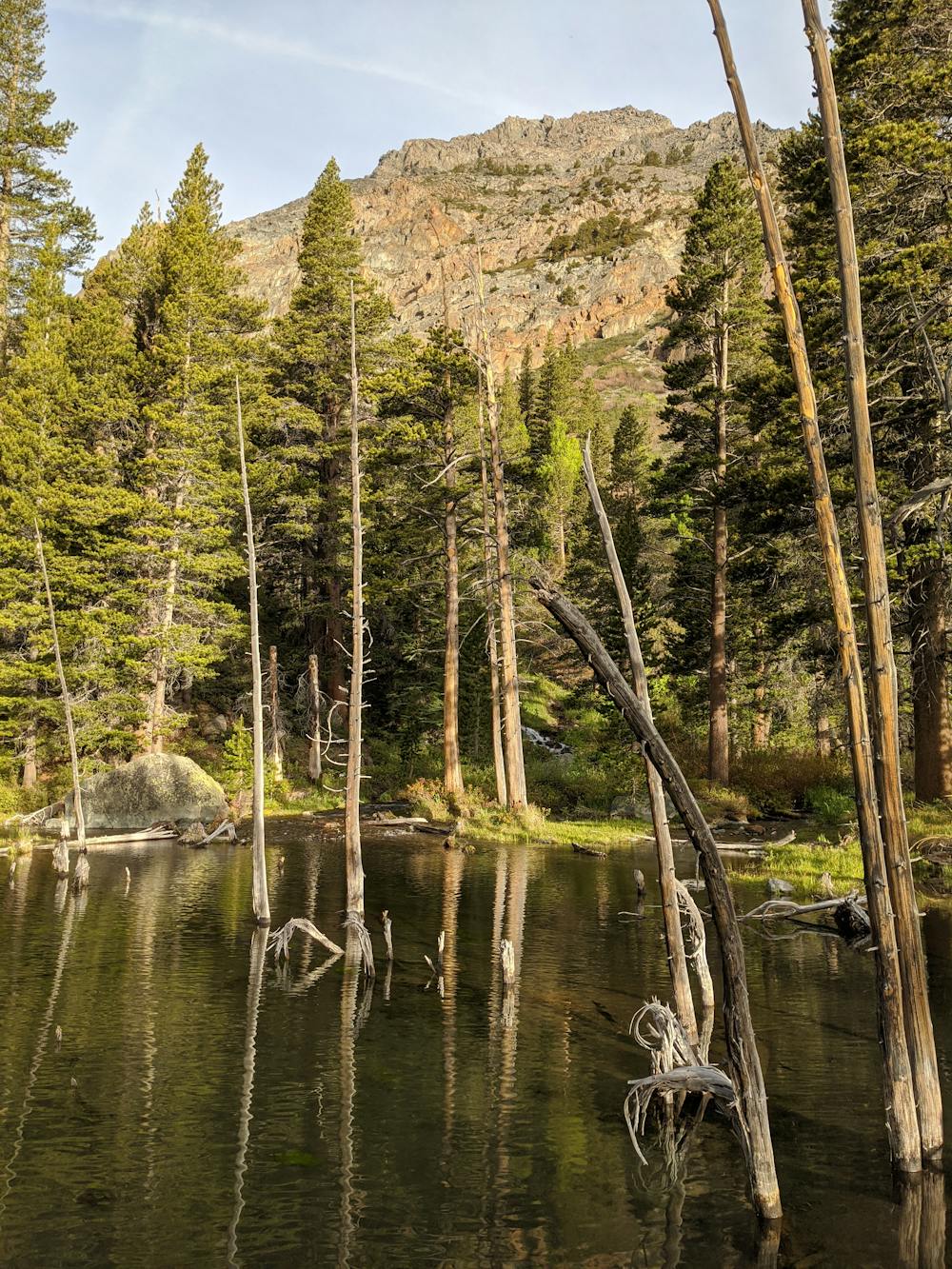
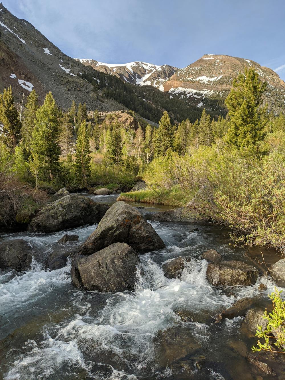
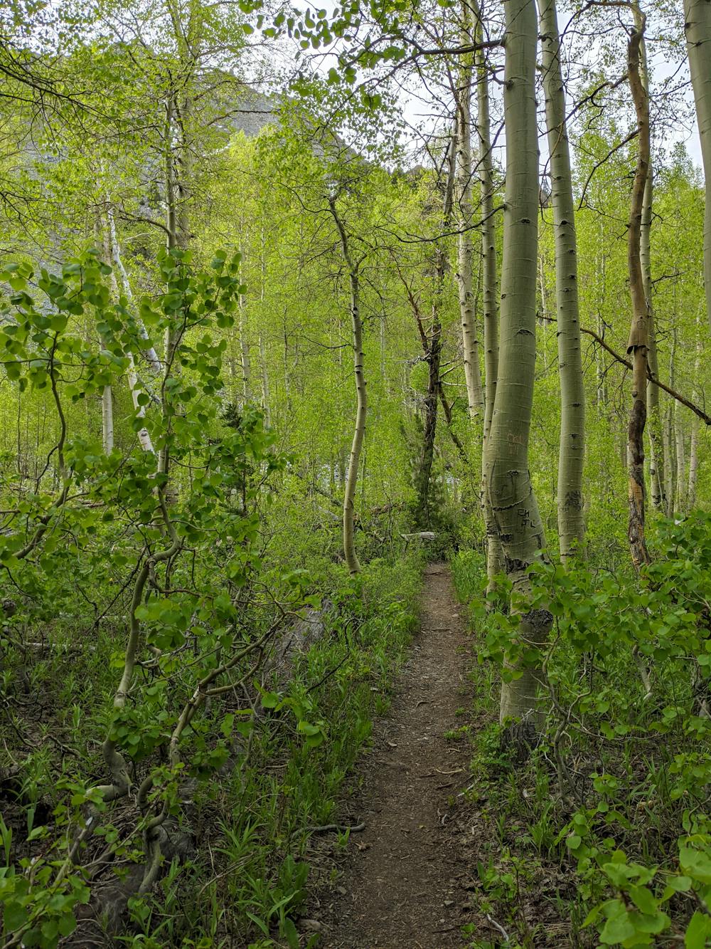
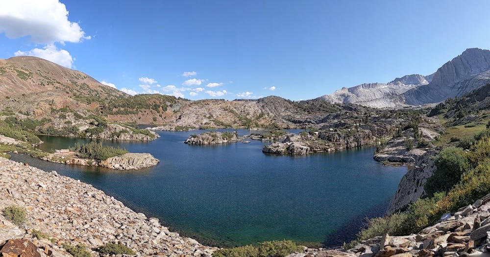
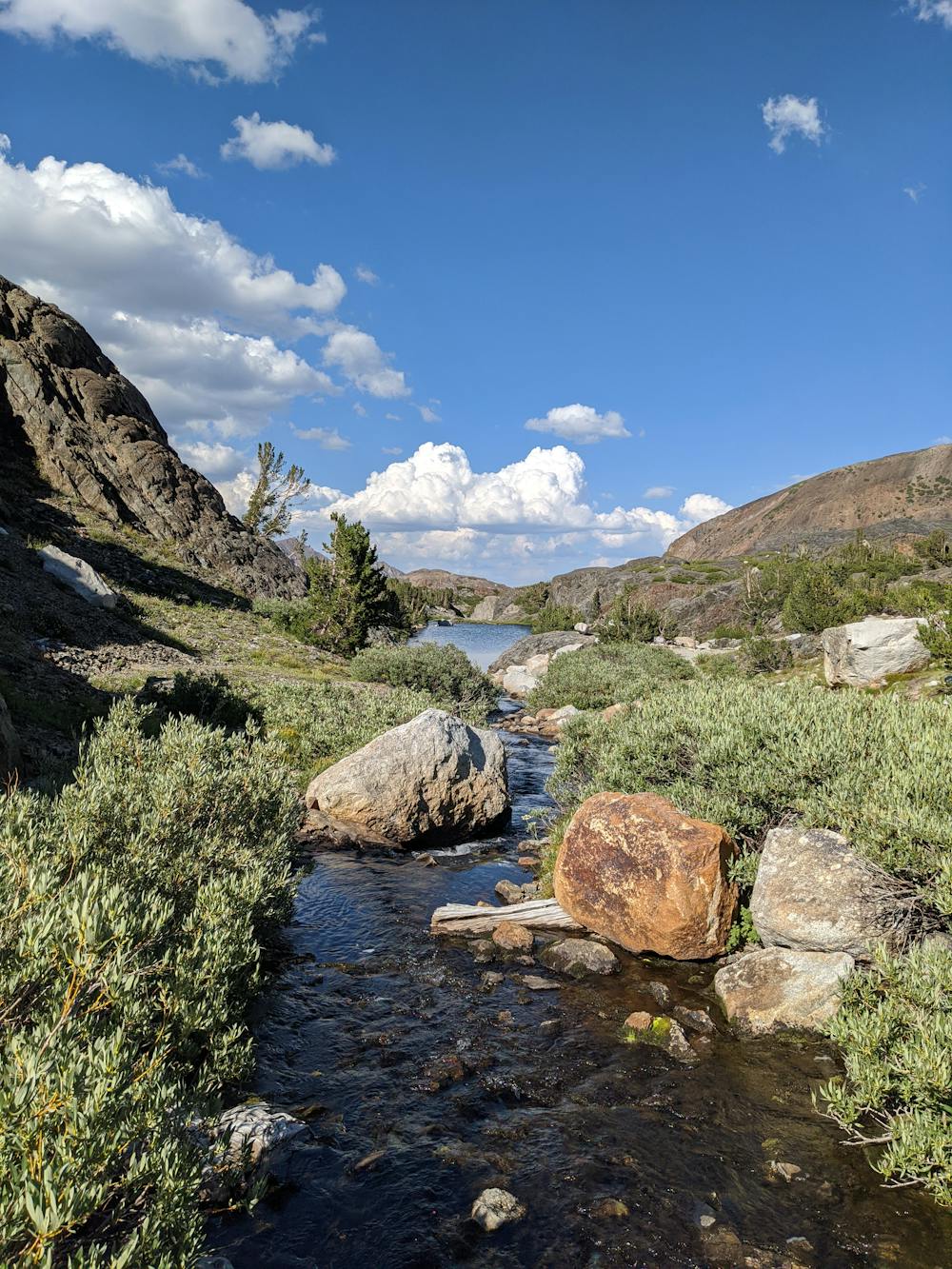
Up for a challenge? Take the back way into 20 Lakes Basin and enjoy a steep climb out of Lundy Canyon. Your effort will be rewarded with amazing wildflowers, waterfalls, beaver dams, high alpine lakes and vistas in every direction. This partial loop trip has it all.
Difficulty
Severe
Hiking challenging trails where simple scrambling, with the occasional use of the hands, is a distinct possibility. The trails are often filled with all manner of obstacles both small and large, and the hills are very steep. Obstacles and challenges are often unexpected and can be unpredictable.
Medium Exposure

The trail contains some obstacles such as outcroppings and rock which could cause injury.
Remoteness
Away from help but easily accessed.
Best time to visit
Features
- Alpine
- Picturesque
- Wild flowers
- Water features
- Forestry or heavy vegetation