
72 routes · Hiking
Mile 20 to Mile 41.5 of the northbound PCT: Climbing to a highpoint near 6000 feet among cool pine forest in the Laguna Mountains.
Hiking Difficult

This segment of California Section A makes a long but gradual climb, rising out of the chaparral at about 3000 feet to the pine forest at over 6000 feet elevation. Along the way are many miles of sun-exposed slopes and rough trail, but also shady groves and seasonal streams. Winding through canyons and climbing to the crest of a mountain range, this part of the PCT grants quite a scenic tour of the diverse topography of San Diego County.
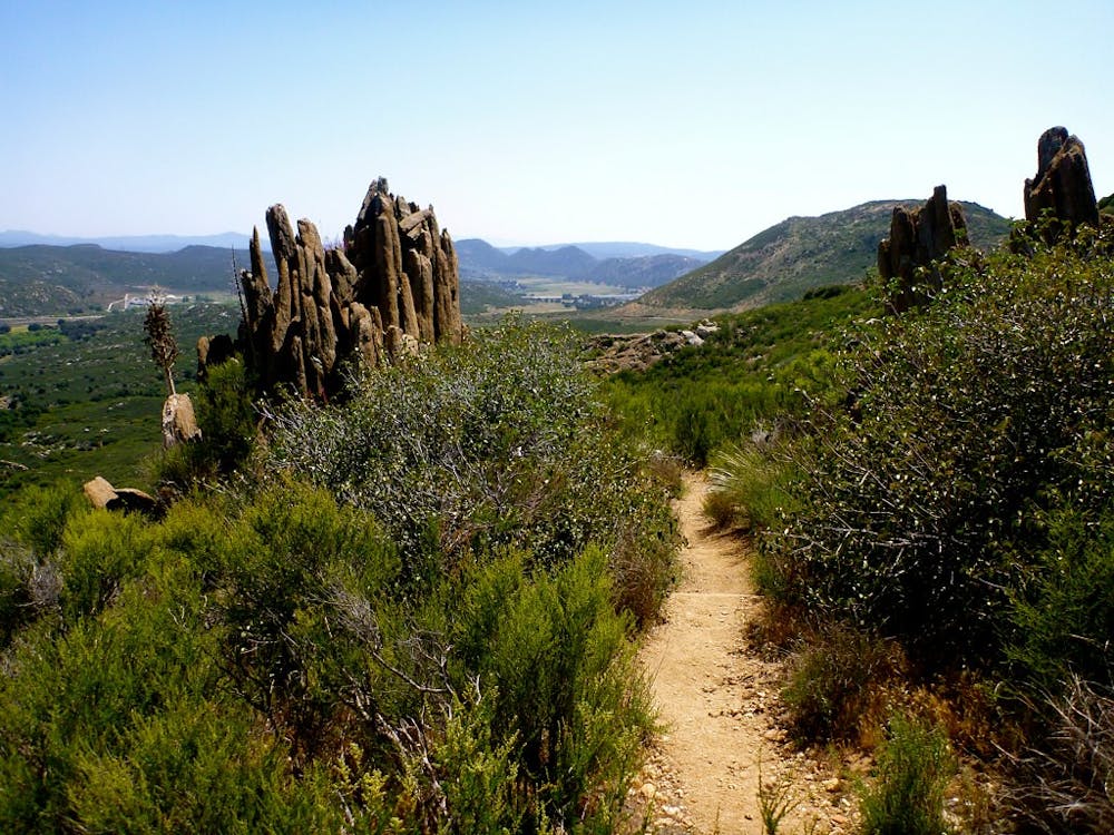
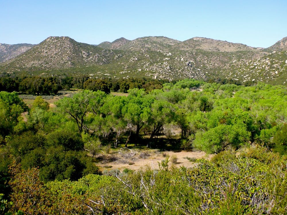
Proceeding northward from Lake Morena (NB mile 20), the trail offers a gentle warmup for the first several miles. It goes up and over a low ridgeline with nice views, then descends to cross a seasonal creek and meadows before coming to Boulder Oaks Campground (NB mile 26). Whether you spend the night here or not, it’s a good place to take a break and refill water. It’s also a logical start or endpoint for a section hike through the Laguna Mountains.
Beyond the campground, the PCT goes under Interstate 8 beside the verdant bank of Kitchen Creek, then ascends to hillier terrain with views over the valley and the freeway. A short side trail leads to Kitchen Creek Falls (NB mile 28.6), then the PCT contours through the remote-feeling valley of this creek. Good spots for dispersed camping can be found near the stream. You should check the PCT Water Report for current information on these seasonal sources.
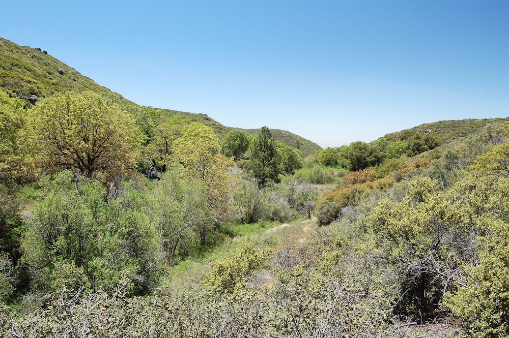
After crossing Kitchen Creek Road (NB mile 30.2), the trail moves decidedly higher in the mountains, making an upward traverse on dry, sunny slopes. After dipping through some shade and a possible campsite in Fred Canyon, the Fred Canyon Road provides a detour to Cibbets Flat Campground (NB mile 32.6), where you might spend the night or at least fill up water.
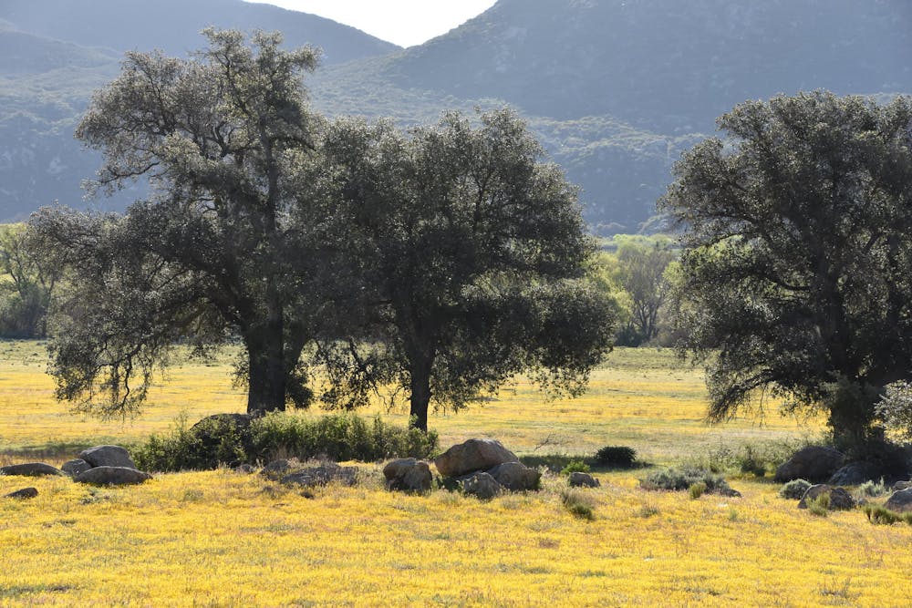
The remainder of the way to Mount Laguna is almost all uphill, with parts that are tough on the feet because of loose rocks on the trail surface. The PCT ascends alongside the aptly named Long Canyon for a few miles, then crosses the creek. If it’s flowing, Long Creek makes a good place to set up camp. Another campsite, and a reliable water source, can be found a bit farther at Lower Morris Meadow (NB mile 38.8).
From there, the uphill march continues across sun and wind-exposed chaparral slopes, but you can enjoy expanding views, cooler air, and the appearance of pine trees while gaining elevation. Eventually, the gradient lessens somewhat, and the trail enters a forest of tall pines and deciduous trees––a very different environment than northbound hikers will have experienced thus far.
Where the trail meets Burnt Rancheria Campground (NB mile 41.5), the Mount Laguna Lodge is only half a mile farther on a detour from the trail. The lodge has a store and restaurant, and they can also accept resupply packages in the mail. There is a post office next door as well. Note: If you want to spend the night here in the Laguna Mountains, the campground or lodge are your best options because dispersed camping is not allowed in this zone within Laguna Mountain Recreation Area.
Permits: Most of this section is in Cleveland National Forest, which requires a wilderness visitor permit or PCT Long-Distance Permit for dispersed camping. Note that camping outside of campgrounds is not allowed in the Laguna Mountain Recreation Area (Northbound mile 40 to mile 53), even with a permit. You might also need a California Fire Permit regardless of where you camp.
Sources: https://www.fs.usda.gov/detail/cleveland/home/?cid=FSEPRD488307 https://pctmap.net/trail-notes/ https://www.pcta.org/discover-the-trail/maps/
Difficult
Hiking trails where obstacles such as rocks or roots are prevalent. Some obstacles can require care to step over or around. At times, the trail can be worn and eroded. The grade of the trail is generally quite steep, and can often lead to strenuous hiking.

The trail contains some obstacles such as outcroppings and rock which could cause injury.

Little chance of being seen or helped in case of an accident.
72 routes · Hiking