6.1 km away
PCT: Saddle Junction to Interstate 10
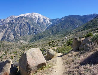
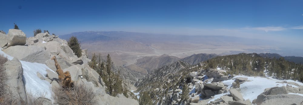
Miles 179.4-209.5 of the northbound PCT: Traversing precipitous slopes of the San Jacintos, then descending aggressively to the desert floor.
Severe Hiking
- Distance
- 45 km
- Ascent
- 904 m
- Descent
- 3 km
Steep Climb with almost 5k elevation gain
Hiking Difficult

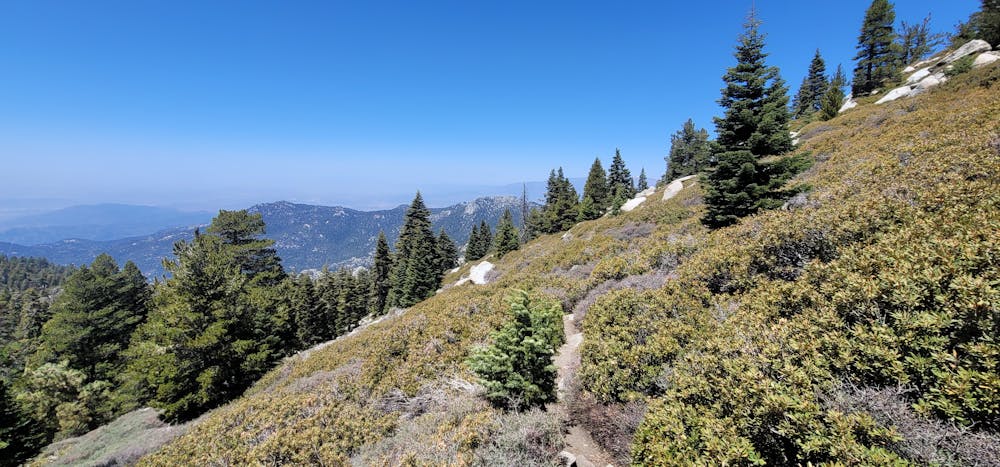
This is a popular hiking route which is generally considered to be difficult. It's remote, it features low exposure and is typically done all year round. From a low point of 1.9 km to the maximum altitude of 3.3 km, the route covers 23 km, 1394 vertical metres of ascent and 1396 vertical metres of descent.
Beautiful views on the west side of San Jacinto
Difficult
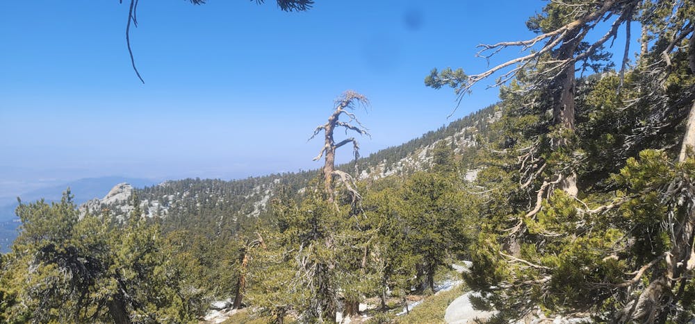
Hiking trails where obstacles such as rocks or roots are prevalent. Some obstacles can require care to step over or around. At times, the trail can be worn and eroded. The grade of the trail is generally quite steep, and can often lead to strenuous hiking.

The path is on completely flat land and potential injury is limited to falling over.

Away from help but easily accessed.
6.1 km away
Miles 179.4-209.5 of the northbound PCT: Traversing precipitous slopes of the San Jacintos, then descending aggressively to the desert floor.
Severe Hiking

72 routes · Hiking