Santa Ana River Trail
An easy and varied hike through the heart of Hidden Valley Wildlife Area
Hiking Easy
- Distance
- 20 km
- Ascent
- 146 m
- Descent
- 172 m
- Duration
- 4-5 hrs
- Low Point
- 195 m
- High Point
- 243 m
- Gradient
- 2˚

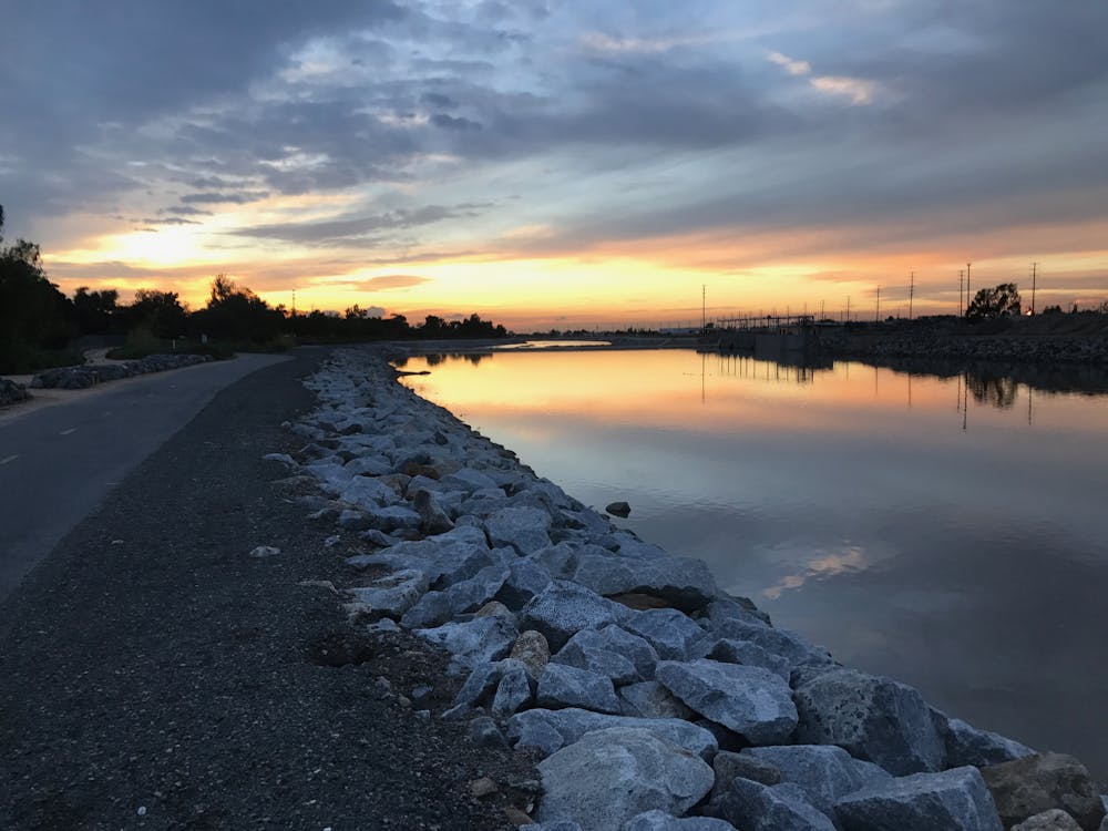
With excellently paved and maintained trails, this is a great little trip. The hike follows the Santa Ana River and takes in everything from suburban streets to sections of sparse forest and some quite barren fields.
Description
The trail is wide for most of its length so this is a great hike for all abilities and age groups. The ease of access to the trail means that it can be joined at numerous different points, and you can simply hike as far as you want. We've drawn the entire line here, but just pick whichever bit looks most appealing to you and enjoy a stroll next to the Santa Ana River!
Difficulty
Easy
Walking along a well-kept trail that’s mostly flat. No obstacles are present.
Low Exposure

The path is on completely flat land and potential injury is limited to falling over.
Remoteness
Close to help in case of emergency.
Best time to visit
Features
- Wildlife
- Dog friendly
- Family friendly