10 routes · Hiking
The first half of the Trans-Catalina Trail, from the ferry dock over the mountains to a secluded cove beach.
Hiking Difficult

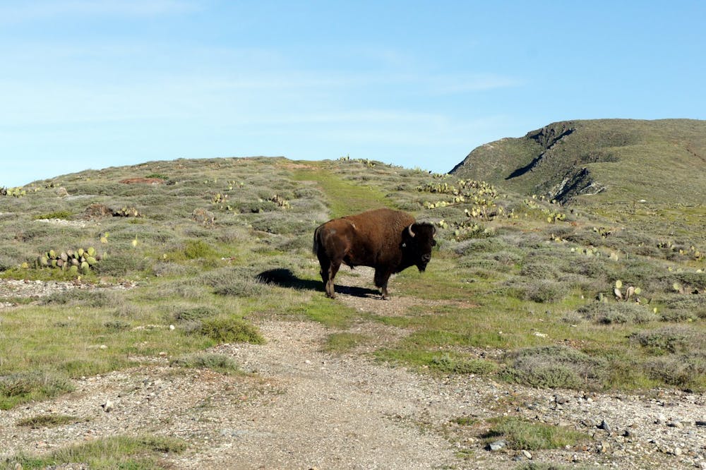
Santa Catalina Island looms on the ocean horizon of Southern California–seen by so many people every day, but visited by a relative few. Isolated from the mainland by miles of ocean, it’s an ecological outpost distinct from anywhere else in the state. Only lightly developed by humans and largely void of trees, Catalina is dominated by wide open spaces and untamed nature. Its rugged hills and wild coastline are home to a species of fox found nowhere else on Earth and are grazed by herds of wild bison.
The Trans-Catalina Trail tours this inspiring landscape from one end to the other, covering secluded, sandy beaches and solitary, soaring mountaintops. It’s a difficult trek that goes from sea level to summits and back to the sea multiple times in its 38.5-mile course, linking tiny towns and campgrounds, with no water and scant shade in between. Completing the trail in one push is quite the accomplishment, and takes most hikers 3-5 days. The section covered here is roughly the first half of the trail if completing from east to west. It can be one long day, two days, or one and a half days’ worth of hiking, depending on itinerary. See the Trans-Catalina Trail: Little Harbor to Parsons Landing for the other half.
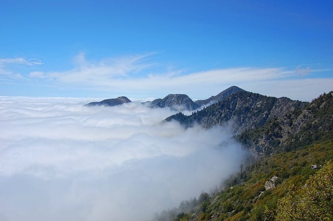
Any time of year can be good for this trail, but the ideal times are typically September-November and March-April. These months bring the best chance of cool and dry weather. Summer can be oppressively hot, winter can be rainy, and May and June are often foggy. Good weather windows can occur at any time of year, however, and so can bad weather, so the seasonality is not dependably predictable.
The Trans-Catalina can be done in either direction, but it’s most common to go east-west starting in Avalon, a small port town accessed by ferry. At first following Avalon Canyon Road, the route turns into a trail at Hermit Gulch Campground. It’s possible to take a public bus from the harbor instead of walking the road, though. The nature center just before the campground is the last chance for water before starting the trail, so be sure to top off there.
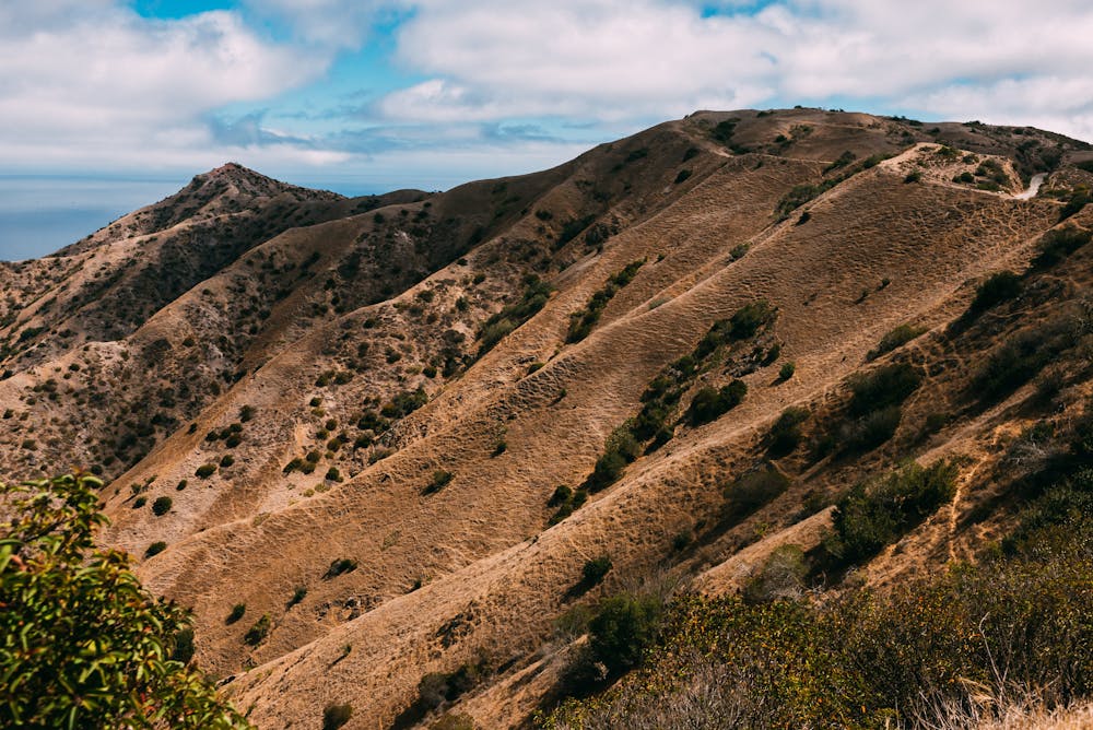
From the campground, the trail rises steeply into the hills. The vegetation is brushy chapparal that offers no shade, so it gets hot when the sun is out. The views are vast, stretching down Avalon Canyon all the way to the harbor and the sea. The trail eventually leads to Divide Road, a wide dirt track with an easier gradient. The road traces a lofty, windswept ridgeline that gives the sense you’re already at the top of the island.
Divide Road heads toward a signal tower, and after passing it, the trail turns to a hiking path once again. Soon you’ll come to a fence and gate, which you’ll open (and close behind you) to enter the territory of the bison. Soon comes Haypress Reservoir, a water source where they are sometimes seen. Be sure to give them space. The animals are accustomed to seeing people but are not domesticated, and they may charge if you get too close. Also near the reservoir is a small park with shelters, toilets, and drinking water. The trail now roughly parallels another dirt road, on which you may see vehicles and tourists.
The rest of the way to Black Jack Campground feels more remote, as the trail rolls across hills and valleys, mostly out of sight of any other development. Black Jack is a popular place to camp, both for Trans-Catalina hikers and for groups on shorter backpacking trips. It has spacious sites, shade trees, and well-kept facilities, including showers.
Beyond the campground, you’ll descend into a particularly large canyon with some forest in the bottom, then climb up the other side and arrive at the island’s small airport. There, you can stop for snacks and supplies at a small shop. Also in the vicinity is the Soapstone Quarry, an interesting archaeological site. It’s where the island’s original inhabitants, the Tongva People, once made bowls and tools.
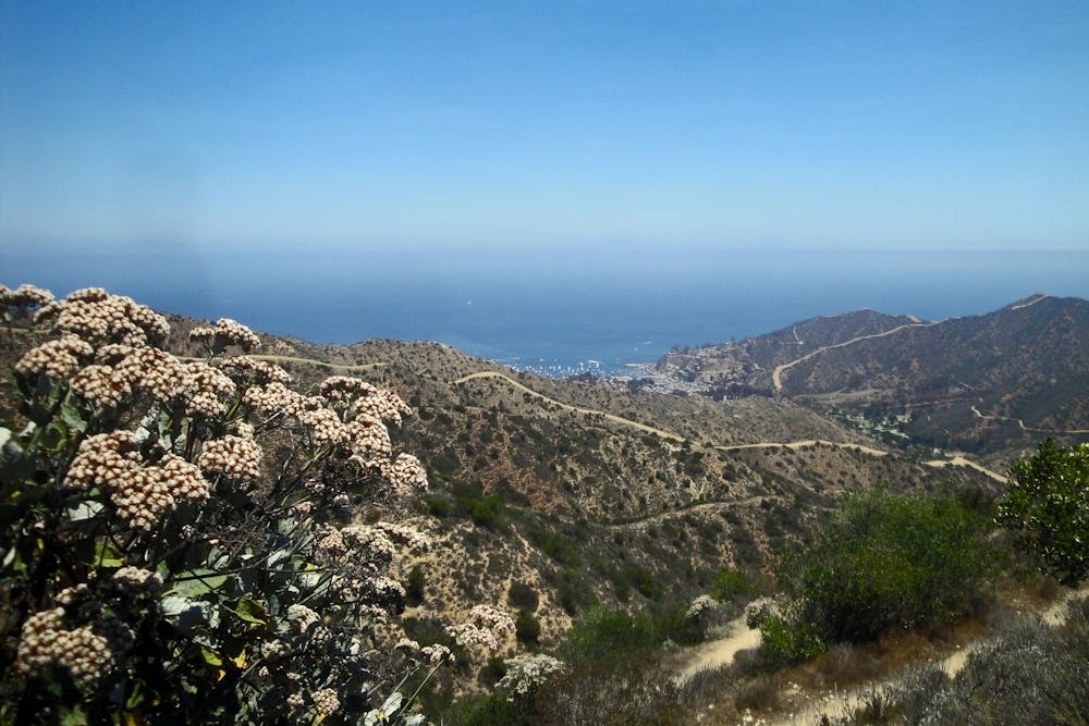
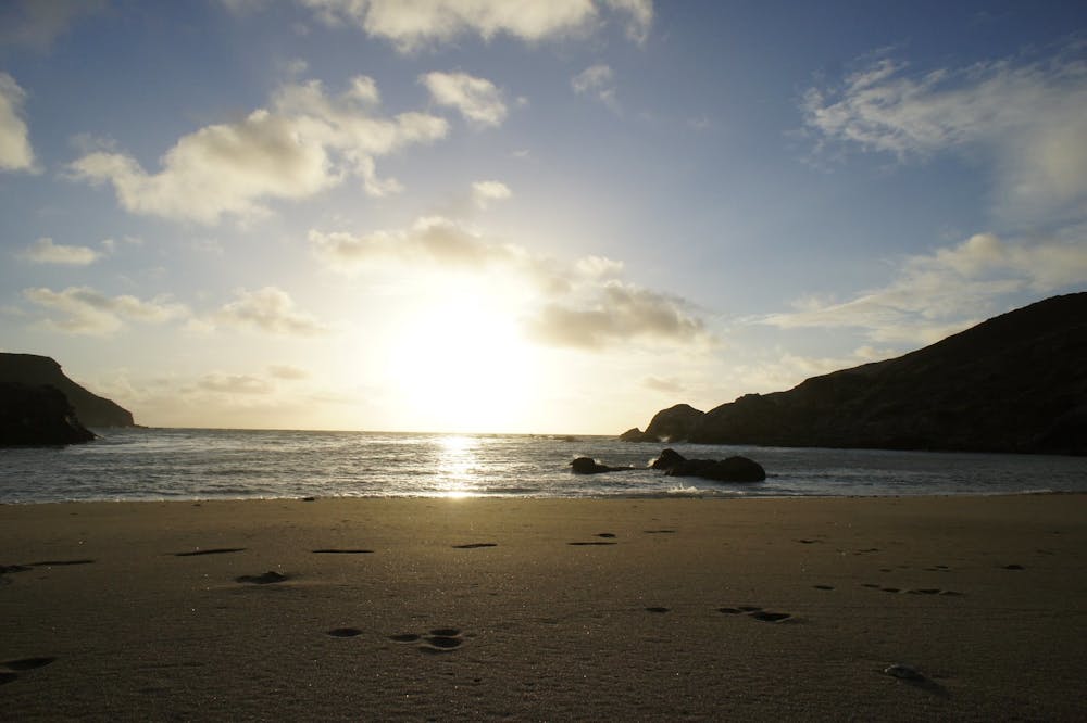
From the airport, a dirt road trends downhill along a broad ridge, and the Trans-Catalina becomes a footpath once again when it turns off on Big Springs Ridge Trail, continuing all the way down to the coast. While hiking this long, grassy ridgeline, you’ll see the ocean before you the whole time, including the sparkling blue cove that is Little Harbor.
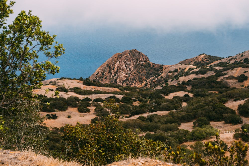
Once there, you’ll meet the water at a strip of soft sand, tucked between sea cliffs and scattered boulders, and fringed by grass and palm trees. It’s the quintessential island camp spot. You’ll want to swim and relax on the beach if you have the time, then sit back and enjoy a brilliant sunset. One drawback of Little Harbor is that it’s popular with day trippers and campers who come by van, so it can get crowded during warmer months. In the off-season, however, you may find solitude here.
Camping on Catalina Island is allowed only at designated sites and must be reserved in advance. These reservations require a fee and are separate from the free Trans-Catalina hiking permit. If you want a campfire, you’ll also need to purchase firewood in advance, and it will be delivered before you arrive. For more information and reservations, see the Catalina Island Conservancy.
Sources: https://www.catalinaconservancy.org/index.php?s=visit&p=hikethetranscatalinatrail https://bearfoottheory.com/backpacking-the-trans-catalina-trail/ https://www.reserveamerica.com/explore/little-harbor-campground/CTLN/940021/overview
Difficult
Hiking trails where obstacles such as rocks or roots are prevalent. Some obstacles can require care to step over or around. At times, the trail can be worn and eroded. The grade of the trail is generally quite steep, and can often lead to strenuous hiking.

The trail contains some obstacles such as outcroppings and rock which could cause injury.

Little chance of being seen or helped in case of an accident.
10 routes · Hiking