11 routes · Hiking
Climb 2,200 feet to the summit of Wildrose Peak.
Hiking Difficult

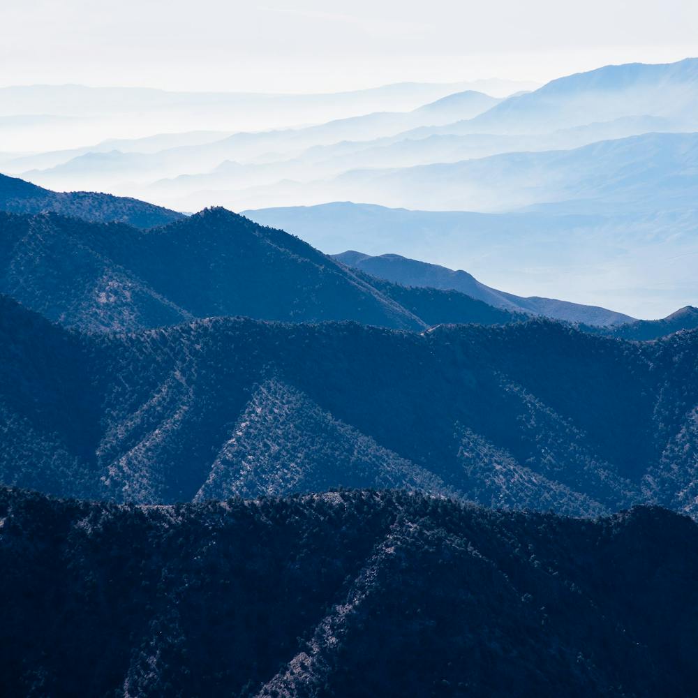
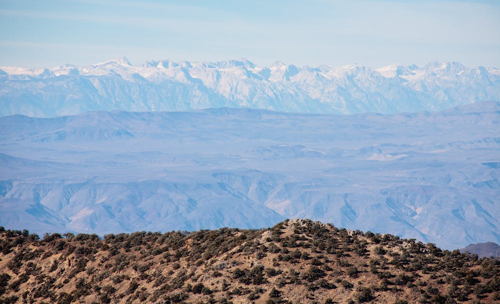
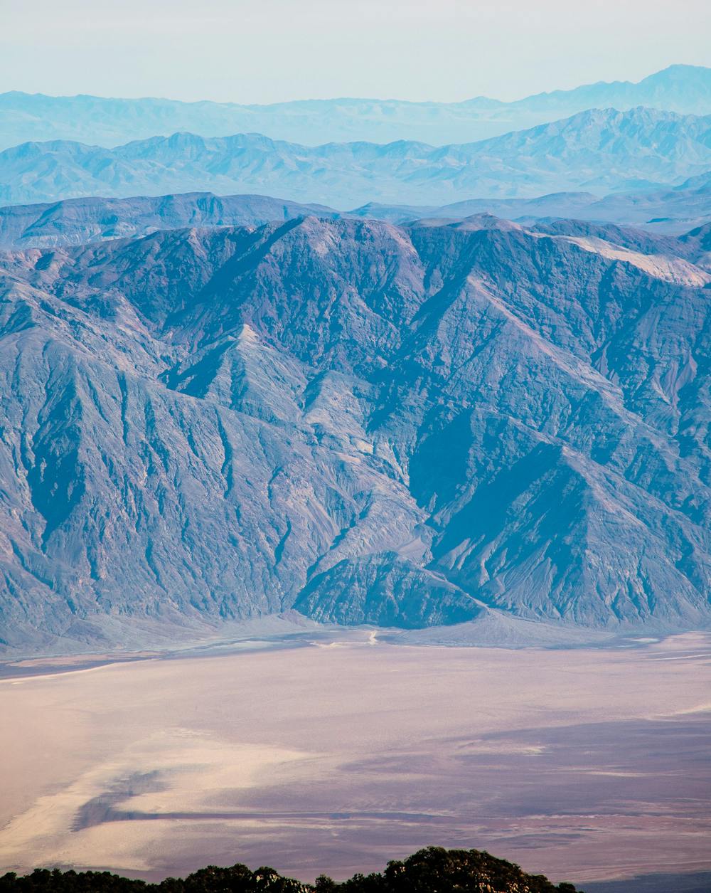
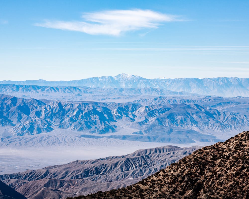
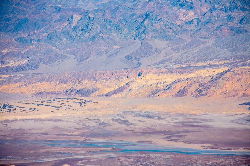
The hike to the summit of Wildrose Peak is one of Death Valley National Park's few options to escape summer's heat. The 360° summit provides views of both the highest point in the contiguous United States, 14,494-foot Mt. Whitney to the west, and the lowest point in the Americas, -282-foot Badwater Basin to the east.
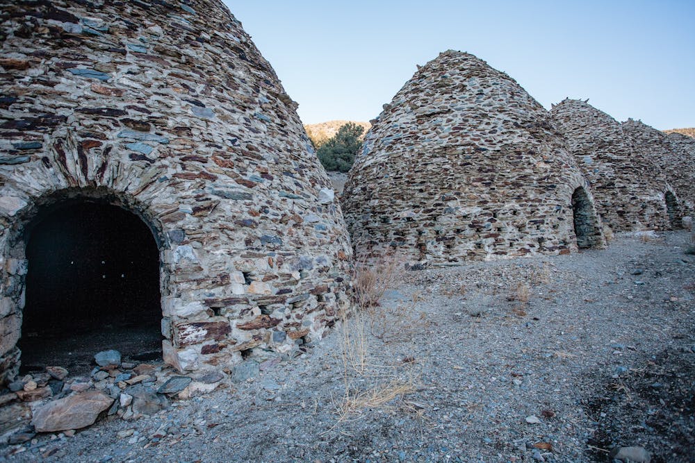
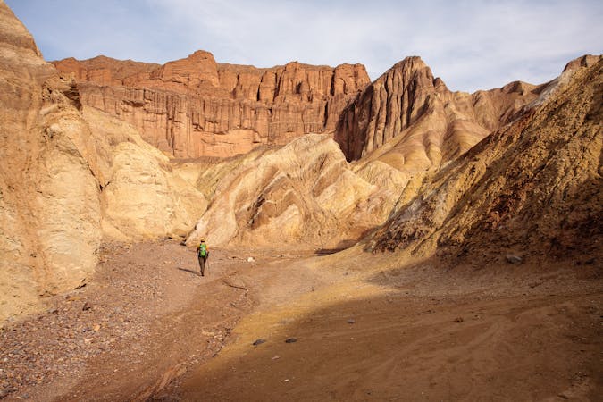
The hike begins with a taste of history at the Charcoal Kilns, which were built by Chinese laborers in 1879 to turn Pinon Pine into charcoal for the Modock Mine smelters located about 25 miles west of the kilns. The intriguing beehive-shaped structures are in amazingly good shape and only needed a minor bit of restoration.
The well-defined trail launches north of the kilns and leads directly into a pinon and juniper forest. The trail climbs steadily, but kindly, gaining 1,000 feet over 1.5 miles before reaching the saddle. Before moving on, take a breather and have a snack while enjoying lovely views of Death Valley.
The saddle continues to ascend another 1,000 feet, though it involves numerous little ups and downs on its way up. The rolling nature abruptly changes to steep switchbacks to get hikers above treeline. This is another good place to grab a breather and perhaps add a layer before the inevitable winds kick up, for the final quarter mile to the summit.
In and of itself, this summit is not dramatic, but the 360° viewscape is positively amazing. If it is a clear day, it is possible to see the Mojave Desert, Mt. Whitney in the Sierra Nevada Mountains and the Badwater Basin.
Enjoy protracted views of Death Valley on the descent and perhaps spend a bit more time exploring the historic kilns before leaving the trailhead.
The Wildrose Peak trailhead is at the Charcoal Kilns parking area. Take Emigrant Canyon Road from CA-190 past the Wildrose Campground.
Sources: https://www.nps.gov/deva/planyourvisit/wildrose-peak.htm
Difficult
Hiking trails where obstacles such as rocks or roots are prevalent. Some obstacles can require care to step over or around. At times, the trail can be worn and eroded. The grade of the trail is generally quite steep, and can often lead to strenuous hiking.

The trail contains some obstacles such as outcroppings and rock which could cause injury.

Little chance of being seen or helped in case of an accident.
11 routes · Hiking