6 km away
Thunder Mountain to Horseshoe Canyon
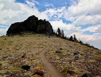
This jagged mountain peak actually provides an excellent, albeit steep, mountain bike ride.
Severe Mountain Biking
- Distance
- 14 km
- Ascent
- 550 m
- Descent
- 794 m
An intermediate-level descent from the top of the mountain on doubletrack.
Mountain Biking Moderate
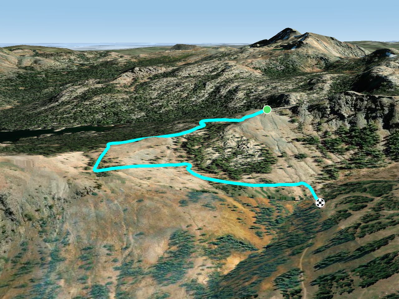
Caples Crest is an intermediate-level descent from the top of the mountain, down through the Kirkwood Bike Park. The "trail" follows doubletrack and dirt roads as it takes a lengthy, less-steep route down the bike park. However, this doubletrack-filled descent does provide access to several singletrack options that can make the descent more difficult.
Moderate
Mostly stable trail tread with some variability, with unavoidable obstacles 8in/20cm tall or less. Other obstacles such as rock gullies and steep sections may exist. Ideal for lower intermediate riders.

The path is on completely flat land and potential injury is limited to falling over.
Close to help in case of emergency.
6 km away
This jagged mountain peak actually provides an excellent, albeit steep, mountain bike ride.
Severe Mountain Biking
6 routes · Mountain Biking · Hiking
5 routes · Mountain Biking