
5 routes · Mountain Biking
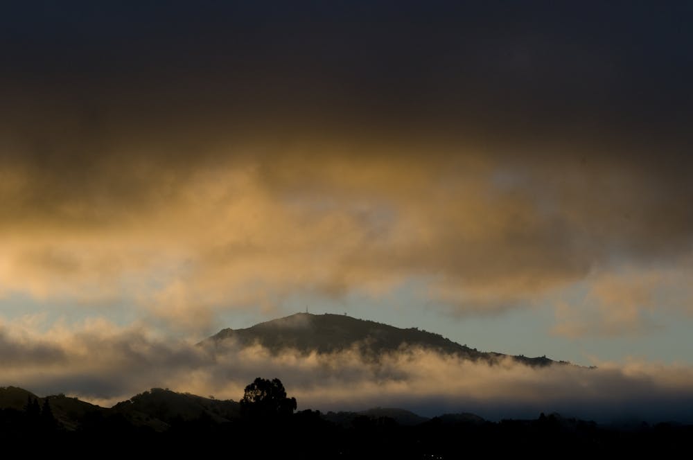
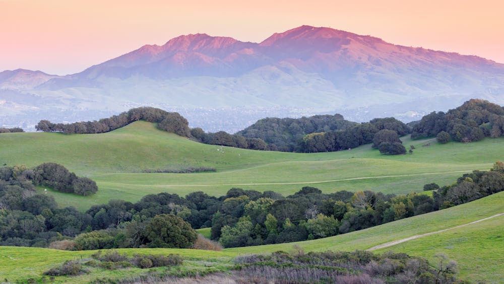
Ride to the top of the most impressive mountain in the Bay Area.
Mountain Biking Difficult

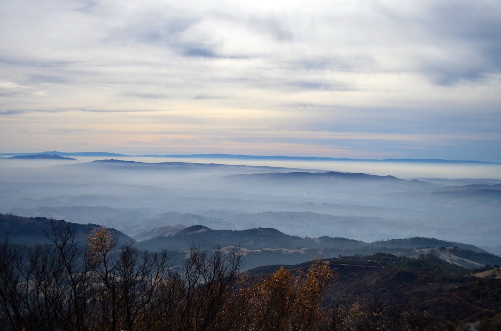
Mount Diablo is hands-down the most impressive mountain in the Bay Area, despite not technically being the tallest. Thanks to a state park that covers most of the mountain, protecting it from development, this monolith is a very popular objective for a challenging mountain bike ride.
Like most spots in the East Bay, the vast majority of the trails in Mount Diablo State Park are off limits to mountain bikes. However, the route mapped here does score a little bit of singletrack near the top of the mountain! But to work that singletrack into a logical loop, you’ll have to work harder than most riders that attempt to climb to the summit from the more westerly-facing side.
The route mapped here climbs up the Mitchell Canyon fire road, gaining almost 4,000 feet on the way to the summit. The climb is manageable in places, but in others it gets brutally steep—over 20%!
After tagging the top via the paved road and snapping a few selfies, pick up the North Peak Trail around the backside of the mountain. Here’s your singletrack reward for all of the effort you expended to get here! “The trail is very narrow, frequently steep, and punctuated with serious rocky obstacles,” according to BayAreaRides.com. The challenge "makes it an ideal bonus for many advanced riders.”
After the short singletrack, the descent follows Prospectors Gap Road to Meridian Ridge Road and then finally, Donner Canyon Road.
While the ride to the top of Mount Diablo isn’t a singletrack shredder’s paradise, conquering this challenging mountain on dirt is a bucket list item that locals and visitors alike have to check off.
Difficult
Mostly stable trail tread with some variability featuring larger and more unavoidable obstacles that may include, but not be limited to: bigger stones, roots, steps, and narrow curves. Compared to lower intermediate, technical difficulty is more advanced and grades of slopes are steeper. Ideal for upper intermediate riders.

The trail contains some obstacles such as outcroppings and rock which could cause injury.
Away from help but easily accessed.
5 routes · Mountain Biking