32 m away
Enticer Jump Trail
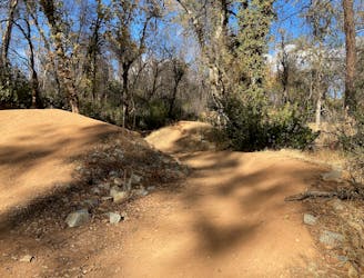
An expertly-built jump line in the popular Swasey Trail System.
Severe Mountain Biking
- Distance
- 5.1 km
- Ascent
- 133 m
- Descent
- 133 m
The highest-regarded mountain bike ride in Redding, California.
Mountain Biking Moderate

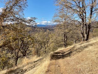
The Swasey trails form what is hands-down the most popular mountain bike trail system in Redding, California. While this complex network of trails offers many possible route variants, this loop around Mule Mountain and down the Snail Trail is one of the highest-regarded routes in the region.
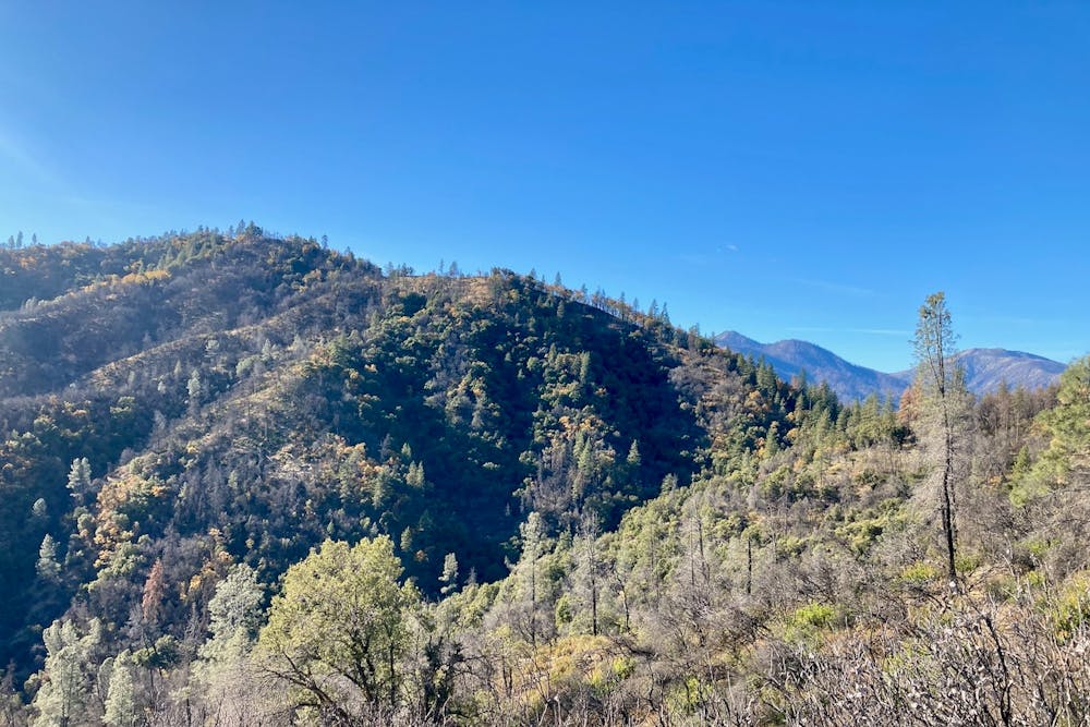
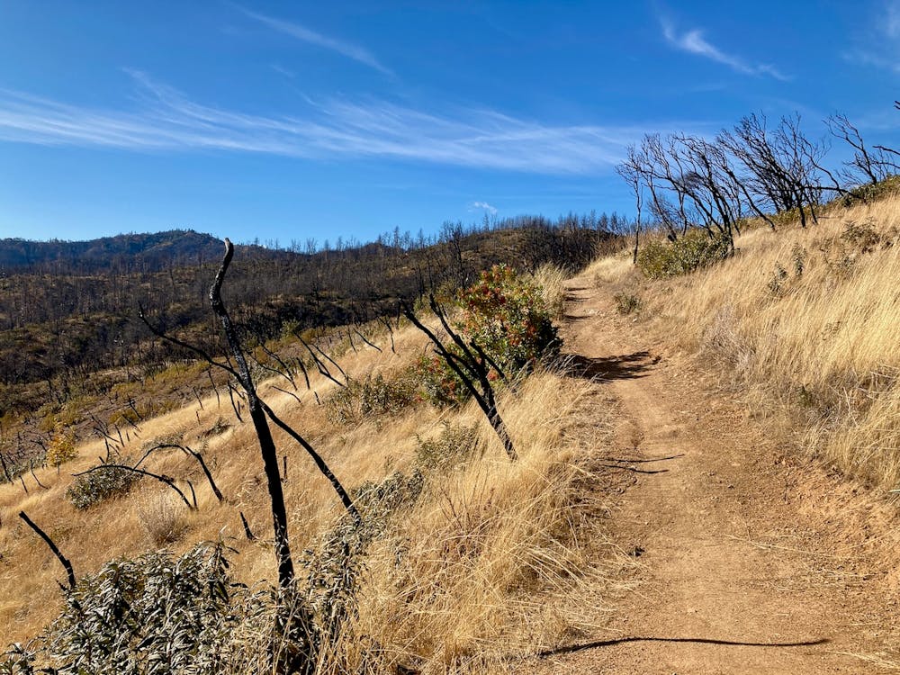
The ride begins by climbing the Wintu Loop Trail to gain the ridgeline. After a steep initial grunt, the trail grade mellows out a bit, but it continues to climb as it heads toward Mule Mountain. The trail tread throughout the climb, and indeed the entire ride, is quite mellow and non-technical. A few random washouts hide awkward turns and jagged rocks, but the vast majority of the trail tread is smooth and flowy.
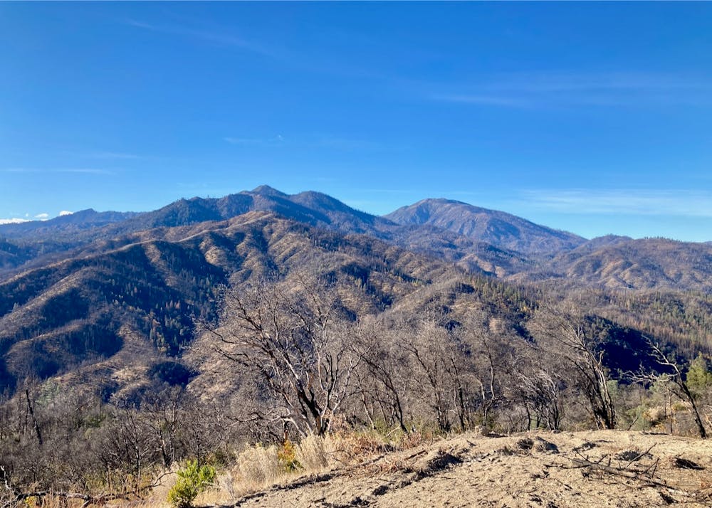
After climbing the Escalator trail, you'll reach a major trail junction with a few different route options. While you could short cut over to the Snail Trail by using the Mule Ridge trail, the additional miles around the backside of the mountain (as mapped here) provide some of the best views on the entire ride! The singletrack ducks into the dark, shady north side of the mountain, leaving the dry high desert vegetation behind in exchange for a lusher stand of trees. After swinging around the ridge, some a delightful stretch of benchcut singletrack offers stunning views of the entire region!
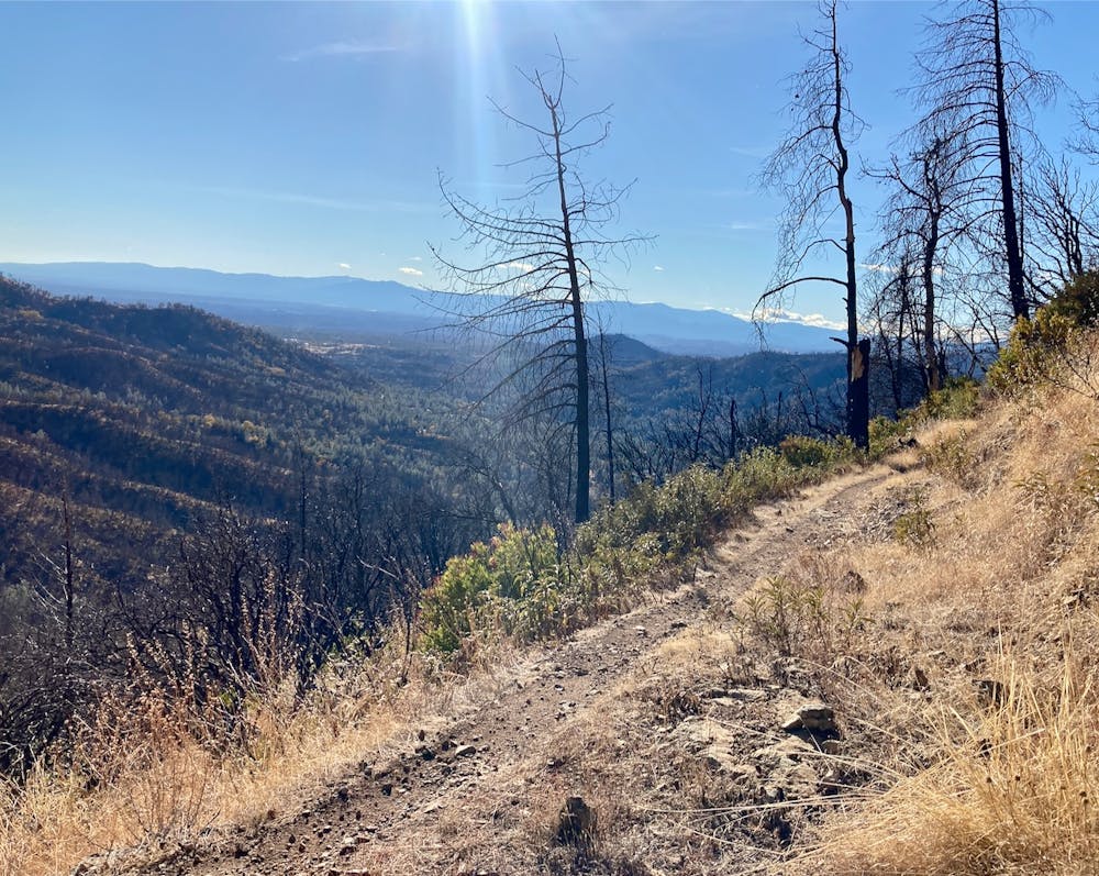
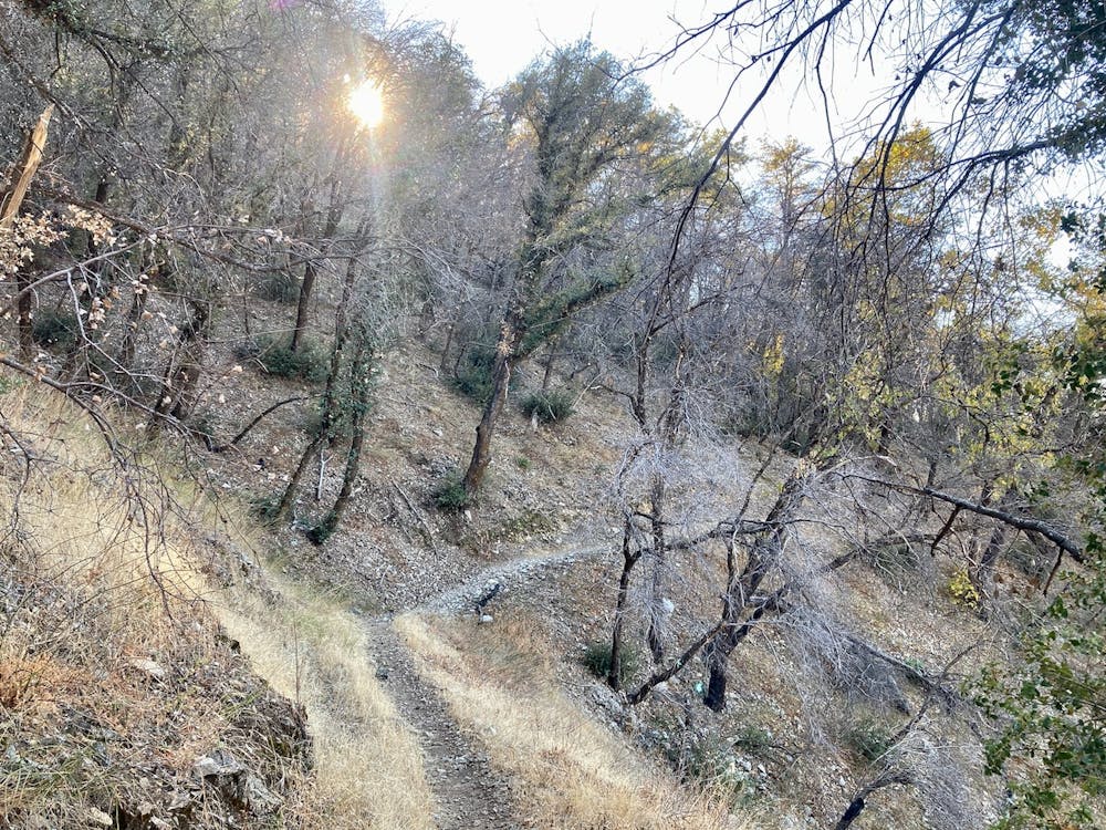
After circling Mule Mountain, it's time for the main course: the descent down the Snail Trail! The Snail Trail is a well-built flow trail with sculpted berms, rollers, and delightful swoopiness on the narrower sections of singletrack. While this professionally-built flow trail is exceedingly well designed, there aren't really any air opportunities to be found. The approachable grades, berms, and lack of air challenges make this a very intermediate-friendly flow trail descent that would serve well as a skills and confidence-building experience.
The flowiness is over all too quickly, and all that remains is some mellow singletrack pedaling back to the trailhead.
Moderate
Mostly stable trail tread with some variability, with unavoidable obstacles 8in/20cm tall or less. Other obstacles such as rock gullies and steep sections may exist. Ideal for lower intermediate riders.

The trail contains some obstacles such as outcroppings and rock which could cause injury.
Away from help but easily accessed.
32 m away
An expertly-built jump line in the popular Swasey Trail System.
Severe Mountain Biking
5.6 km away
The best beginner ride in Redding.
Easy Mountain Biking
4 routes · Mountain Biking · Hiking

52 routes · Mountain Biking · Freeride Skiing · Gravel Biking · Hiking · Road Biking