5.8 km away
Thunder Mountain to Horseshoe Canyon
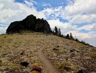
This jagged mountain peak actually provides an excellent, albeit steep, mountain bike ride.
Severe Mountain Biking
- Distance
- 14 km
- Ascent
- 550 m
- Descent
- 794 m
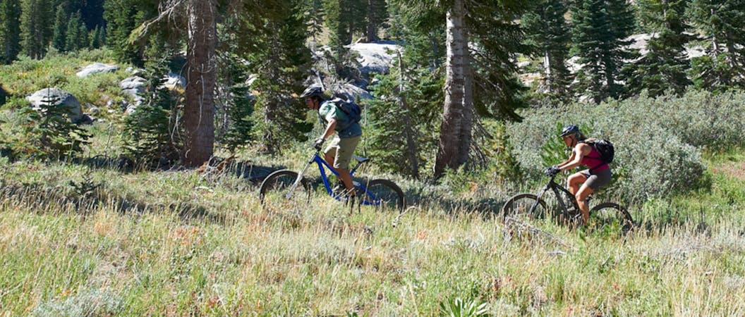
A more technical, but less-steep finish to the Vista descent.
Mountain Biking Difficult

The Upper Corral trail is a black-diamond alternative finish to the top-to-bottom descent through the Kirkwood Bike Park, primarily utilizing the Vista Trail. However, unlike finishing on a brief section of Lower Corral, Upper Corral swoops out across the hillside, making for a not-so-steep finish to the ride down.
If downhill ripping is your style, this is probably not the best finish to your ride. But if you want to add on as much singletrack time as possible, grab Upper Corral!
Difficult
Mostly stable trail tread with some variability featuring larger and more unavoidable obstacles that may include, but not be limited to: bigger stones, roots, steps, and narrow curves. Compared to lower intermediate, technical difficulty is more advanced and grades of slopes are steeper. Ideal for upper intermediate riders.

The trail contains some obstacles such as outcroppings and rock which could cause injury.

Close to help in case of emergency.
5.8 km away
This jagged mountain peak actually provides an excellent, albeit steep, mountain bike ride.
Severe Mountain Biking
6 routes · Mountain Biking · Hiking
5 routes · Mountain Biking