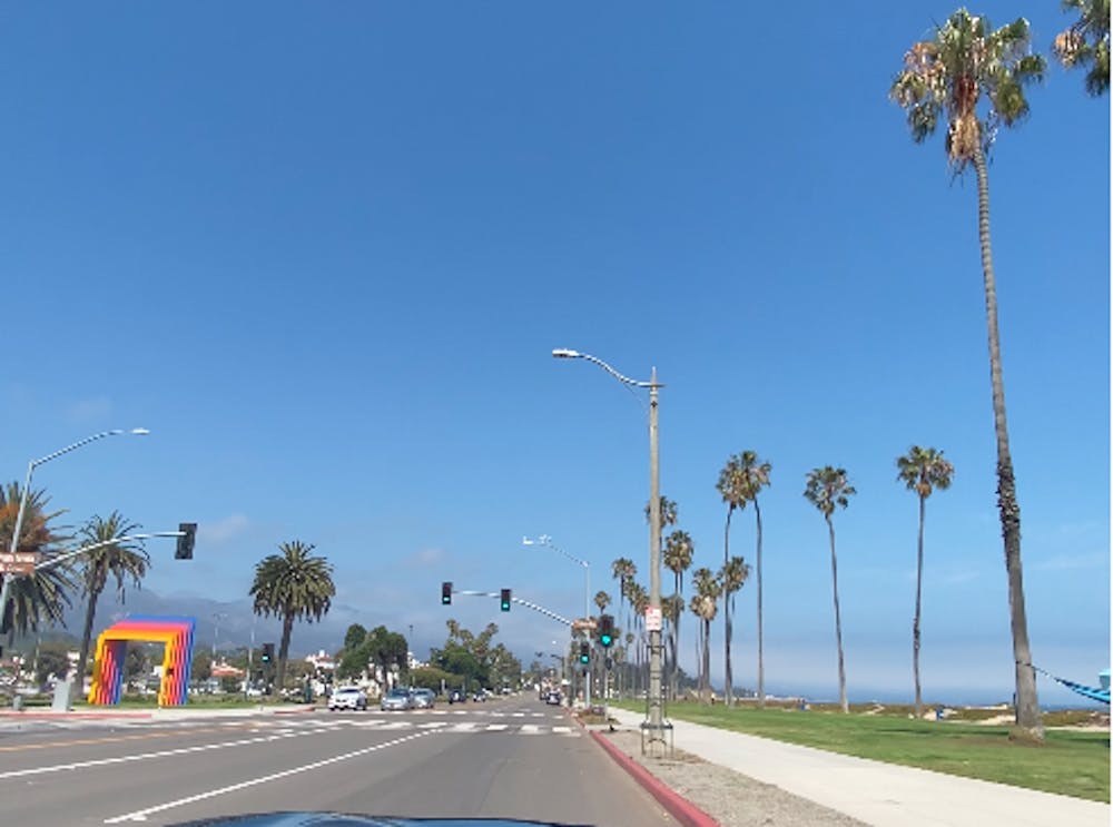
Lompoc to Santa Barbara
After a sketchy night in Lompoc, I left my motel early to meet up with a friend in Santa Barbara for lunch.
Road Biking Moderate
- Distance
- 98 km
- Ascent
- 1 km
- Descent
- 842 m
- Duration
- 5-6 hrs
- Low Point
- 2 m
- High Point
- 323 m
- Gradient
- 4˚

This is a popular road biking route which is generally considered to be moderate. It's an unknown remoteness, it features unknown exposure and is typically done in an unknown time of year. From a low point of 2 m to the maximum altitude of 323 m, the route covers 98 km, 1001 vertical metres of ascent and 842 vertical metres of descent.
- •
- •
Description
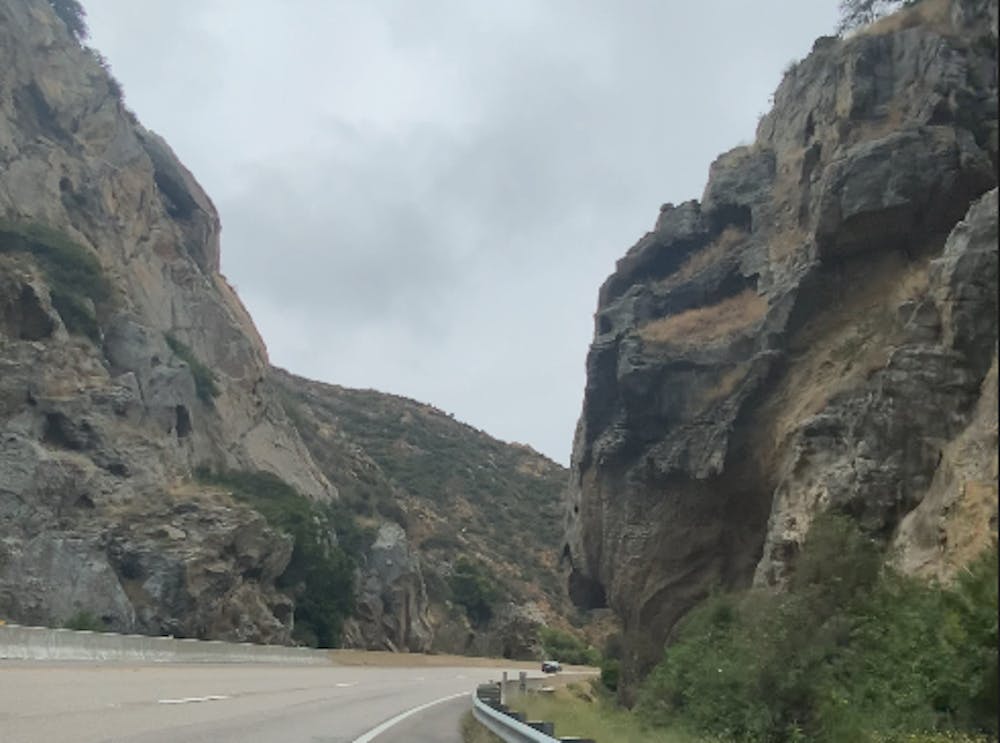
Since much of this ride is on a busy highway, be prepared for a less than awesome day.
Difficulty
Moderate