Los Gatos Creek Trail: Out-and-Back
Bay Area
Popular greenway trail in the San Jose metro area.
Road Biking Easy
- Distance
- 33 km
- Ascent
- 302 m
- Descent
- 302 m
- Duration
- 1-2 hrs
- Low Point
- 40 m
- High Point
- 206 m
- Gradient
- 4˚

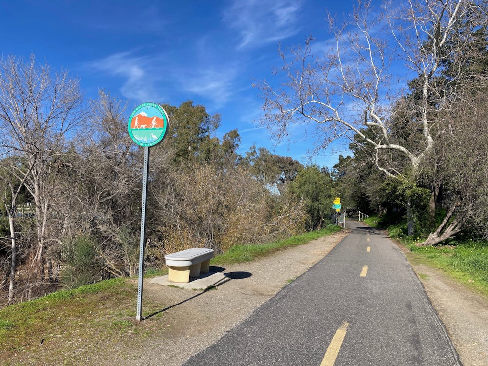
The Los Gatos Creek Trail is a lengthy paved greenway trail running through the San Jose metro area. This trail is extremely popular with road cyclists (both recreationally and for commuting), but walkers/hikers, runners, skaters, and more all use this trail.
Description
The route shown here is a 20.4-mile out-and-back route beginning not far from downtown San Jose and running to the Lexington Reservoir and back. This is a popular road cycling route, but it can also provide a great long-distance running option. You can also walk or run a much shorter route, beginning from any number of access points along the trail, or simply turn around whenever you desire.
Sources: https://parks.sccgov.org/santa-clara-county-parks/los-gatos-creek-county-park
Difficulty
Easy
Remoteness

Close to help in case of emergency.