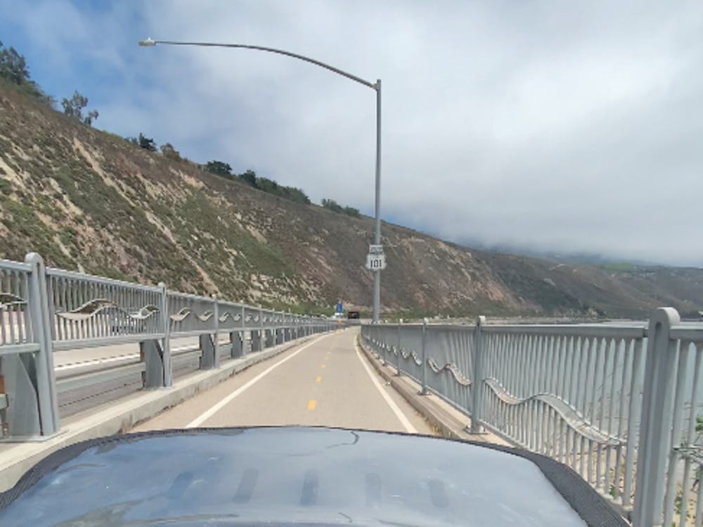
Santa Barbara to Ventura
I decided to take it easy for this casual ride to Ventura, but still managed to get a flat running over a thorn.
Road Biking Moderate
- Distance
- 52 km
- Ascent
- 323 m
- Descent
- 435 m
- Duration
- 2-3 hrs
- Low Point
- 0 m
- High Point
- 116 m
- Gradient
- 3˚

This is a popular road biking route which is generally considered to be moderate. It's an unknown remoteness, it features unknown exposure and is typically done in an unknown time of year. From a low point of 0 m to the maximum altitude of 116 m, the route covers 52 km, 323 vertical metres of ascent and 435 vertical metres of descent.
Description
While I was contimplating ending my tour with a big final century day (100 miles) , I ended up staying longer at my friend's place and instead staying in Ventura.
Difficulty
Moderate