5 routes · Ski Touring

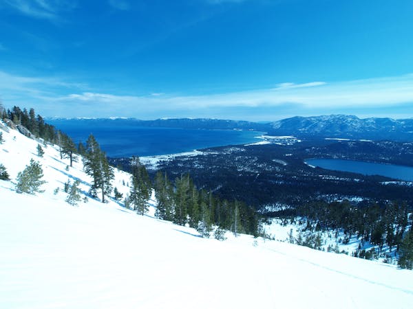
A fun, north facing aspect with mellow tree skiing and playful terrain features with an easy hike in and out. Located above Lower and Upper Echo Lakes near Echo Summit and High Way 50.
Ski Touring Difficult

Becker Peak is a great tour for entry-level backcountry travelers yet still fun for expert skiers because of the terrain features in the area. For faster hikers, you may want to ski this more than once in a day, which also makes it a great option for a half-day tour if you are pressed for time. Unlike Talking Mtn., Becker is an option for spring time skiing as well because the skin out of the bottom is shorter if you ski right towards the Echo Chalet. Be aware of the thickness of the ice on Lower Echo Lake, don’t cross when temperatures are above freezing consistently. Starting off for this tour you will need full avalanche rescue equipment, a partner, and a California Sno-Park Pass for parking. You can purchase the pass at the Chevron Gas Station in Meyers, the town at the bottom of Echo Summit. Drive south on High Way 50 to the top of Echo Summit. From there proceed to Johnson Pass Rd., which is 0.25 miles past the end of the double lane heading down hill. Take a right on Johnson Pass Rd and about 0.5 miles or so on the right is the Sno-Park permit parking area. From here, you will skin up Atwood Rd., which turns into Echo Lakes Rd. These roads will be covered in snow and most likely you will not see the road signs. After approximately 0.25 miles of skinning up the road, you will want to take a sharp left up the hill. There are many cabins in this area, but there is one in particular that is a two storey, standing close to the road by itself. This is where I start the skin track up the ridge line towards the summit. It is approximately 2 miles to the summit. The ridge line is fairly obvious, you’ll know if you are too far right if the slope is consistently steep; the ridge is relatively flat (maximum 20 degrees). The summit is a pyramid shaped granite outcropping that is very distinctive. From the top you can see Talking Mountain to your left. I recommend skiing skier’s right of the peak for amazing, fast, wide open tree skiing (30-35 degrees). For expert riders, fall line is a rush of cliff bands and diving board features (35-45 degrees). Be aware this is a slide path and should only be ridden if conditions are deemed safe. If you align your run skier’s right, you can pop out close to the Echo Chalet. This will make for less hiking out at the bottom. Once at the end Lower of Echo Lake, stay right of the Echo Chalet (which will most likely be covered in snow) and skin up the Echo Lake Rd. At the top, where there is a wide open parking area, you can take your skins off and ski back towards the parking lot the way you came in down the road corridor. Since the descent is just shy of 1000 vertical feet, you may want to set a skin track back up to the ridge, above the Echo Chalet for another run or two.
Difficult
Serious gradient of 30-38 degrees where a real risk of slipping exists.

5 routes · Ski Touring