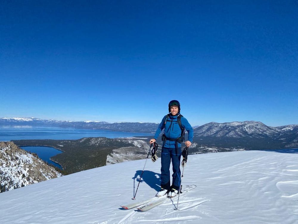
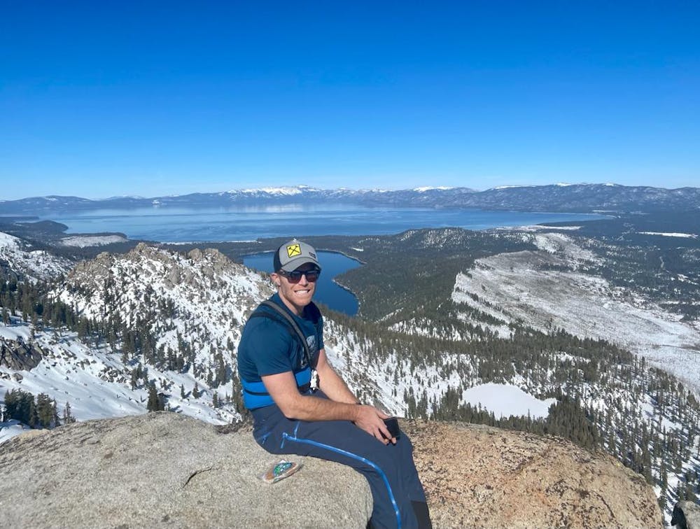
Echo Peak
Lake Tahoe
A classic South Tahoe tour outside of Meyers
Ski Touring Moderate
- Distance
- 10 km
- Ascent
- 766 m
- Descent
- 766 m
- Duration
- 4-5 hrs
- Low Point
- 2 km
- High Point
- 2.7 km
- Gradient
- 36˚

This is a popular ski touring route which is generally considered to be moderate. It's an unknown remoteness, it features unknown exposure and is typically done in an unknown time of year. From a low point of 2 km to the maximum altitude of 2.7 km, the route covers 10 km, 766 vertical metres of ascent and 766 vertical metres of descent.
- •
- •
- •
- •
Description
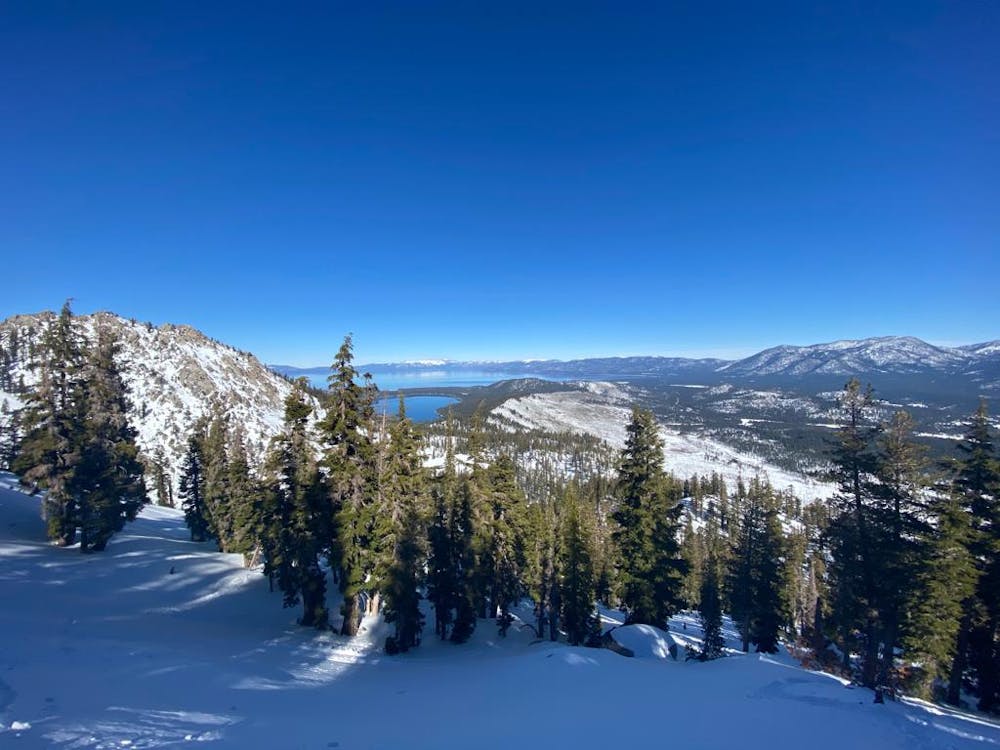
Follow the ski tracks along the ridge to skiers right and take it to the bench halfway up and then ascend to the summit on the left side if the rock face.
Difficulty
Moderate
Slopes become slightly steeper at around 25-30 degrees.
Features
- Alpine
- Tree Skiing
- Single Descent