515 m away
Huddart Park 4-Mile Loop
Running-friendly loop in the cool shade of redwood forest.
Moderate Trail Running
- Distance
- 6.8 km
- Ascent
- 259 m
- Descent
- 259 m
A solid workout on excellent trails in peaceful, shady forest.
Trail Running Difficult

Huddart Park is a very popular family destination near Woodside and Emerald City. As such, the main trailheads and picnic areas get quite busy, but most visitors do not venture very far down any trail. That leaves many miles of uncrowded singletrack winding along the wooded mountainside. Bicycles and dogs are not allowed, making the trails even calmer than they might otherwise be.
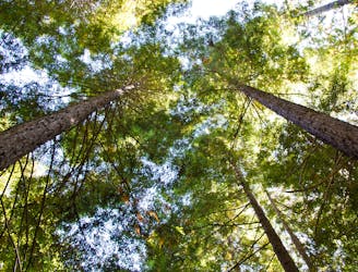
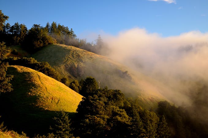
This is a longer loop with significant elevation gain, but all under the canopy of tall redwoods. Hot days can still be enjoyable because of the abundant shade. It begins and ends in Huddart Park, but also uses trails in the adjacent Phleger Estate, part of Golden Gate National Recreation Area. You do not have to pass through another entrance station to go there. Start with Miramontes and Mount Redondo if you want a steeper climb and longer descent. Go the other way, starting with Crystal Springs, if you want a more gradual climb and quicker descent.
Miramontes travels through especially damp and verdant forest near a creek. The surface is packed dirt, and is good for running on all but the wettest days. Mount Redondo Trail turns uphill to ascend the ridge and link with Lonely Trail. These slopes are at first drier and the canopy a bit thinner, but then comes another lush and shady ravine. This climb has some steps and a few rooty sections, but for the most part the surface remains smooth.
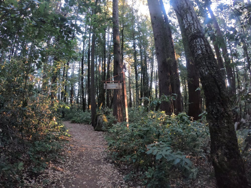
In most of Huddart Park, you can’t quite escape traffic noise. That’s not the case with Lonely Trail. It takes a route that’s about as far from a road as you can get in this region. It’s a quiet woodland where you’re not likely to see many people, either.
Near the top of the ridge you’ll encounter a road once again, and parallel it for a little while before dropping down on Chinquapin Trail. The remaining trails back to the starting point make a smooth and fun descent. They are mostly smooth singletrack of soil or fine gravel, gently graded with lots of swooping turns. The scenery is much the same as before—lovely, leafy forest the whole way.
Sources: http://www.redwoodhikes.com/Skyline/Huddart.html https://parks.smcgov.org/huddart-park-trails https://www.nps.gov/goga/phes.htm
Difficult

The trail contains some obstacles such as outcroppings and rock which could cause injury.
Away from help but easily accessed.
515 m away
Running-friendly loop in the cool shade of redwood forest.
Moderate Trail Running
5 routes · Trail Running