Indian Rock Ranch Loop
Bay Area
Loop to practice both downhill and steady uphill running
Trail Running Difficult
- Distance
- 14 km
- Ascent
- 559 m
- Descent
- 560 m
- Duration
- 2-3 hrs
- Low Point
- 494 m
- High Point
- 883 m
- Gradient
- 7˚

Skyline trail, down Loughry Woods Trail, Up Saratoga Toll Rd Trail.
Description
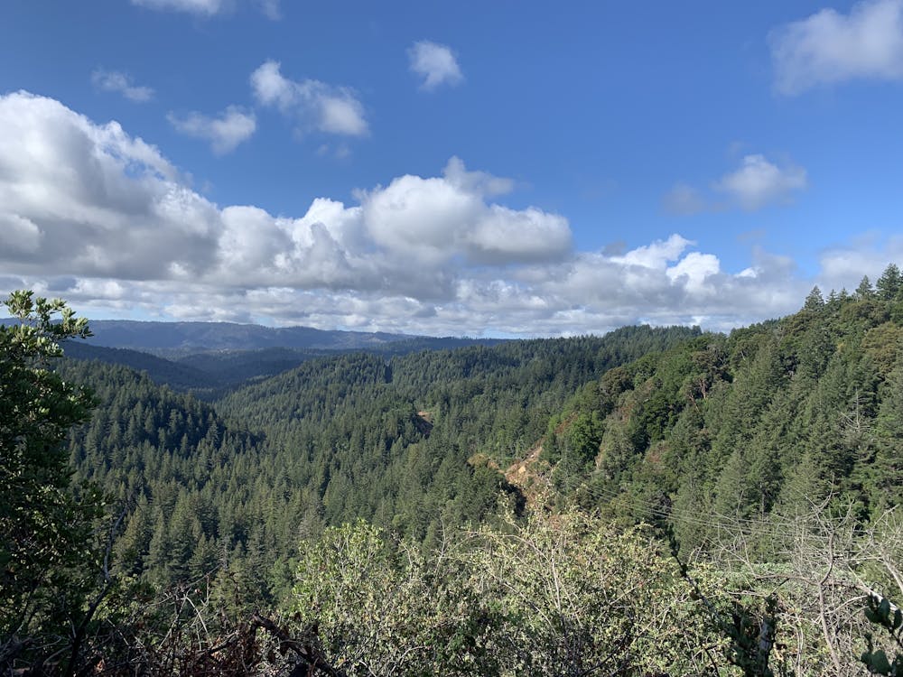
DESCRIPTION: Start from the Saratoga Gap parking lot, where 9 meets Skyline Blvd. The route has a good mix of rocky (more technical) and smooth terrain according to the different sections. Most of it is single track with some wider sections and a short piece on a fire road.
First, head south-east on Skyline trail; pretty smooth at first but become fairly technical fast, with some narrow single track, some rocky terrain, and exposure on one side. Nothing dangerous tho. Terrain becomes a little easier along the trail and, optional, there's a short deviation to Lookout Tower (almost 3k ft) if you want to.
Then, cross Skyline Blvd to hit Loughry Woods Trail. This is rolling downhill, sometimes technical sometimes smooth, very enjoyable. The terrain becomes more rocky (in case it's wet, be careful, can be slippery), as you approach Castle Rock Trail Camp, and you hit a fire road for about 1/4 mi.
Turn right to take Saratoga Gap Trail, which is still rolling downhill. Then cross Craig Springs Creek and take Travertine Springs Trail, which will bring you to the bottom of the course when crossing the San Lorenzo River bridge. This section can be warm on a hot day (facing south).
After the bridge the trail starts rolling uphill. Approximately 6mi into the course the Travertine Springs Trail meets the Saratoga Toll Rd Trail. Take a right (North-East direction). From here till the closing the loop is a ~2.75mi climb with ~3-4% avg. incline back to the parking lot. So stand up tall, open your shoulder, shorten your stride, and enjoy the feeling of your fitness improving.
WEATHER: Can be very variable here, depending on the season. Even when the valley is hot, the marine layer can cool off Castle Rock area substantially. Bring a wind breaker and warmer layer just in case. You can leave them in the car if, when arriving at the parking lot, it's still warm and the sky is clear.
SHOES: Even if you might get away with normal running shoes given the dry terrain in the summer, I'd not recommend that because of the rocky sections. Trail running/hiking shoes are a must in the winter / when terrain is wet.
DIFFICULTY: Nothing special here, but given the long climb back and the sometimes rocky terrain I rated it as difficult.
Difficulty
Difficult
Medium Exposure

The trail contains some obstacles such as outcroppings and rock which could cause injury.
Remoteness
Away from help but easily accessed.