Joice Trail TH to Mount Umunhum Summit
Bay Area
18.2 Trail Run or Hike
Trail Running Moderate
- Distance
- 29 km
- Ascent
- 1.5 km
- Descent
- 531 m
- Duration
- 5-6 hrs
- Low Point
- 60 m
- High Point
- 1 km
- Gradient
- 9˚

This is a popular trail running route which is generally considered to be moderate. It's remote, it features low exposure and is typically done between September and May. From a low point of 60 m to the maximum altitude of 1 km, the route covers 29 km, 1517 vertical metres of ascent and 531 vertical metres of descent.
- •
- •
- •
- •
- •
- •
- •
- •
- •
- •
- •
- •
Description
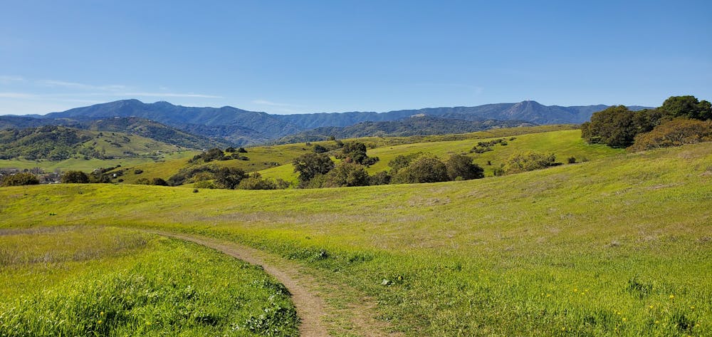
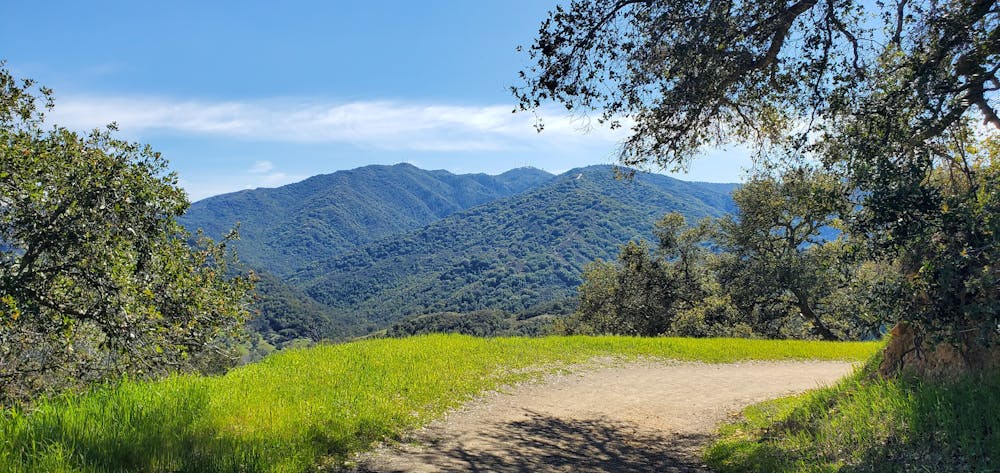
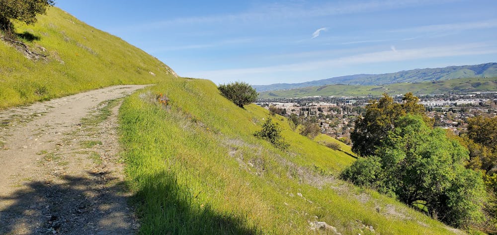
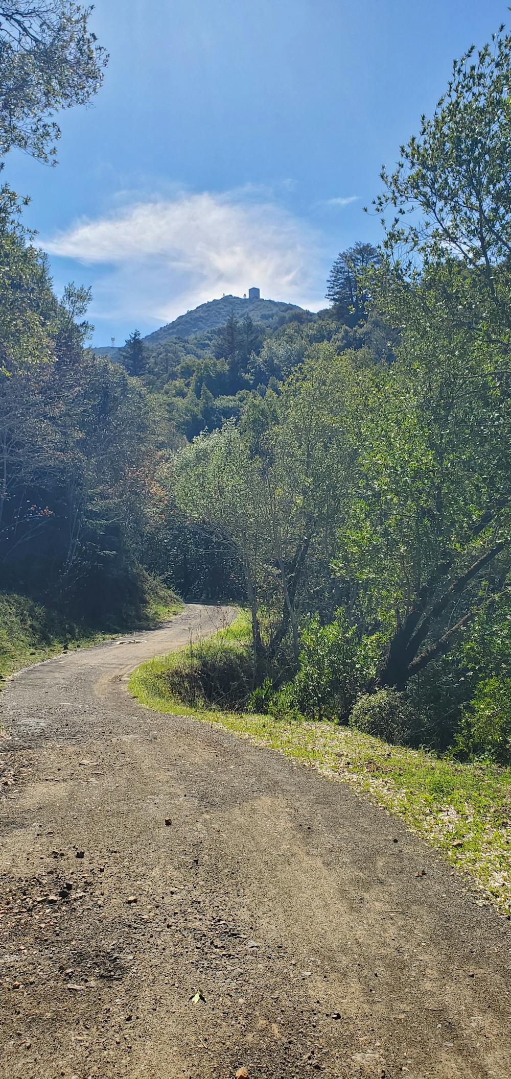
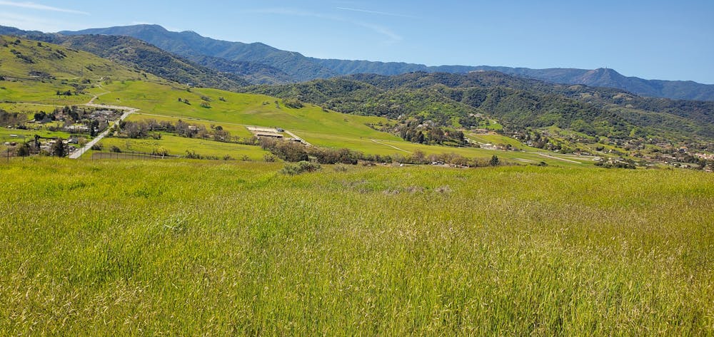
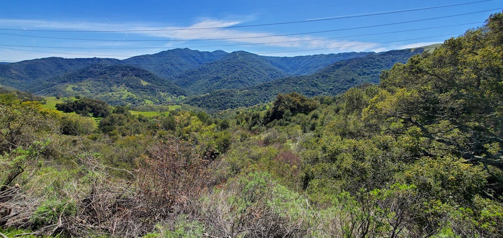
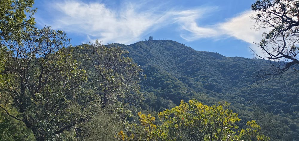
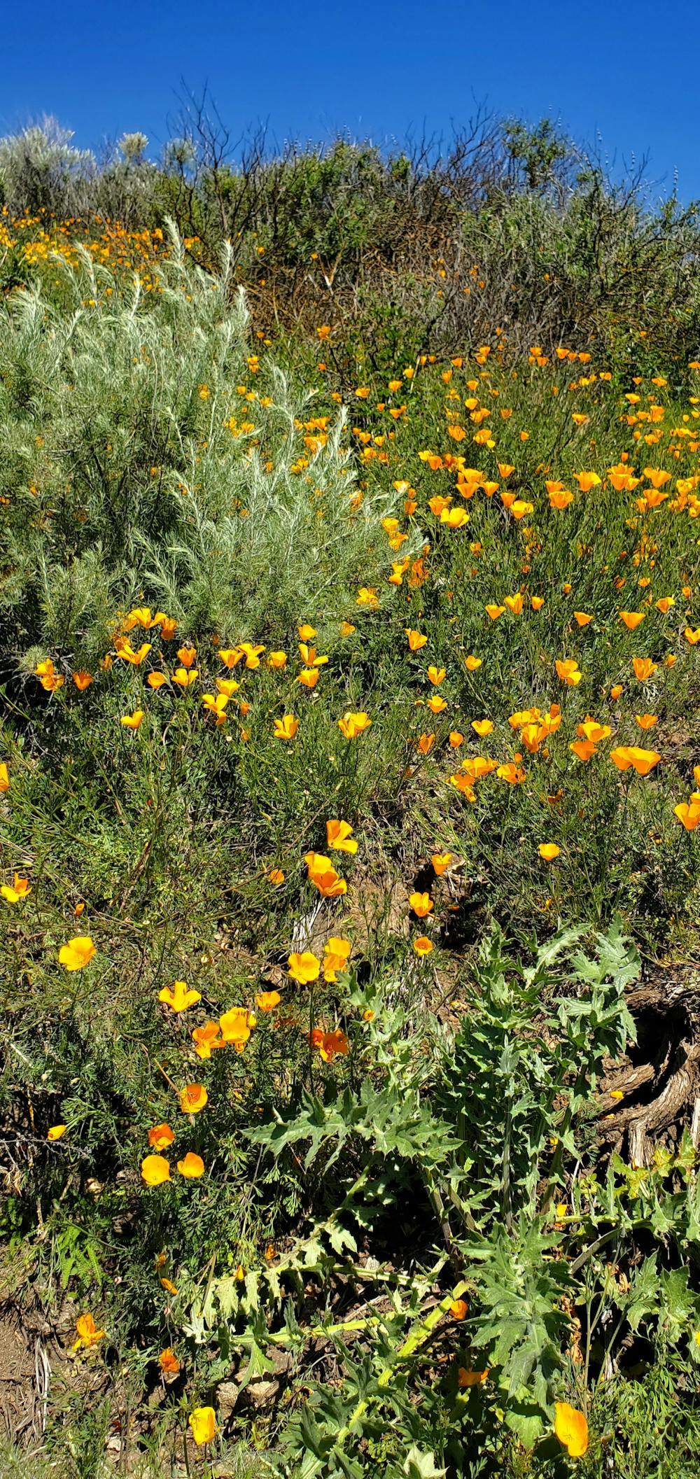
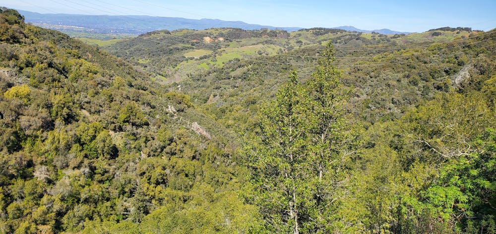
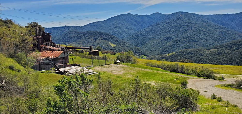
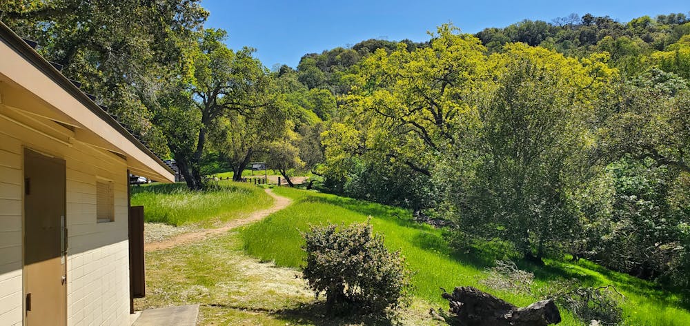
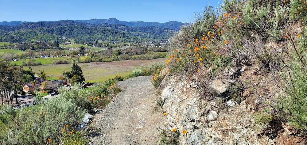
One of the highest peaks in the Santa Cruz Mountains. This excellent trail has it all. Runners will enjoy nature with lots of different plants and amazing scenic views in all directions. Some steep sections, but mainly easy grades for running, hiking or walking.
Difficulty
Moderate
Low Exposure

The path is on completely flat land and potential injury is limited to falling over.
Remoteness

Away from help but easily accessed.