Lost Horse Loop
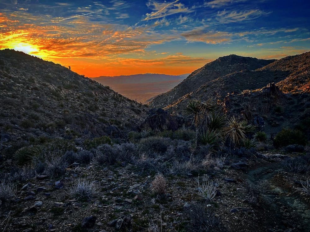
Amazing Views of Joshua Tree
Trail Running Moderate
- Distance
- 11 km
- Ascent
- 284 m
- Descent
- 285 m
- Duration
- 1-2 hrs
- Low Point
- 1.4 km
- High Point
- 1.6 km
- Gradient
- 8˚

This is a popular trail running route which is generally considered to be moderate. It's remote, it features low exposure and is typically done between October and June. From a low point of 1.4 km to the maximum altitude of 1.6 km, the route covers 11 km, 284 vertical metres of ascent and 285 vertical metres of descent.
Description
Amazing Loops that overlooks some amazing views of Joshua Tree.
Difficulty
Moderate
Low Exposure

The path is on completely flat land and potential injury is limited to falling over.
Remoteness

Away from help but easily accessed.