
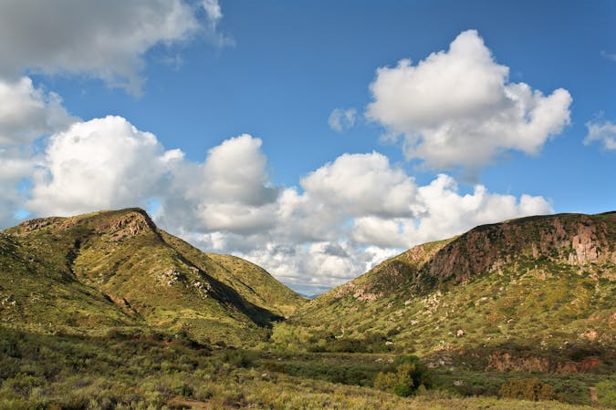
1.7 km away
South Fortuna Mountain
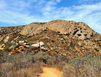
Gain incredible views from one of Mission Trails Regional Park's beautiful mountains.
Moderate Trail Running
- Distance
- 8.5 km
- Ascent
- 441 m
- Descent
- 441 m
One of the most popular trail systems in San Diego.
Trail Running Difficult
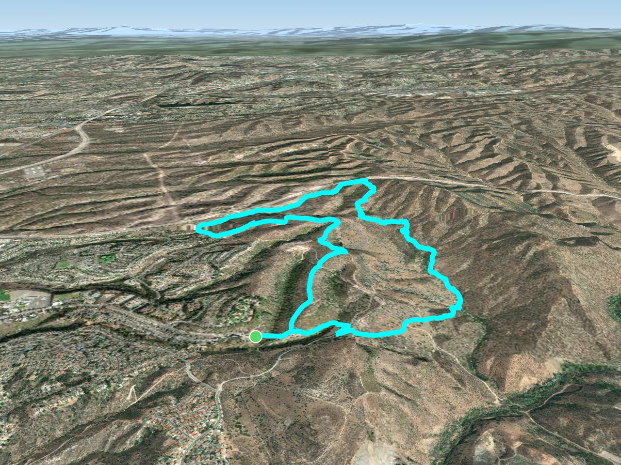
Mission Trails Regional Park is one of the most popular trail systems in the San Diego area. This centrally-located park boasts over 65 miles of trails spread across 8,000 acres of land.
This complex trail system mostly consists of doubletrack and fire road, but there are a few sweet sections of singletrack to be found here. The route shown here incorporates some of the best singletrack in the trail system. The singletrack especially can get rocky, rough, and technical, but the challenge is part of the reward!
Since this trail system is located just 8 miles from downtown San Diego, it is extremely popular. On any day of the week, you can find hikers, mountain bikers, and trail runners frequenting the trails. Weekends are especially busy. Remember that mountain bikers should yield to hikers and runners and always ride in control.
Sources: https://mtrp.org/the-park-2/
Difficult

The trail contains some obstacles such as outcroppings and rock which could cause injury.

Close to help in case of emergency.
1.7 km away
Gain incredible views from one of Mission Trails Regional Park's beautiful mountains.
Moderate Trail Running
4.2 km away
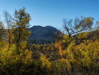
If simply summitting Cowles Mountain isn't enough of a challenge, tack on Pyles Peak for some bonus miles!
Difficult Trail Running
8 routes · Mountain Biking · Hiking · Trail Running