San Francisco Bay Trail: Sunnyvale to Sand Point
Bay Area
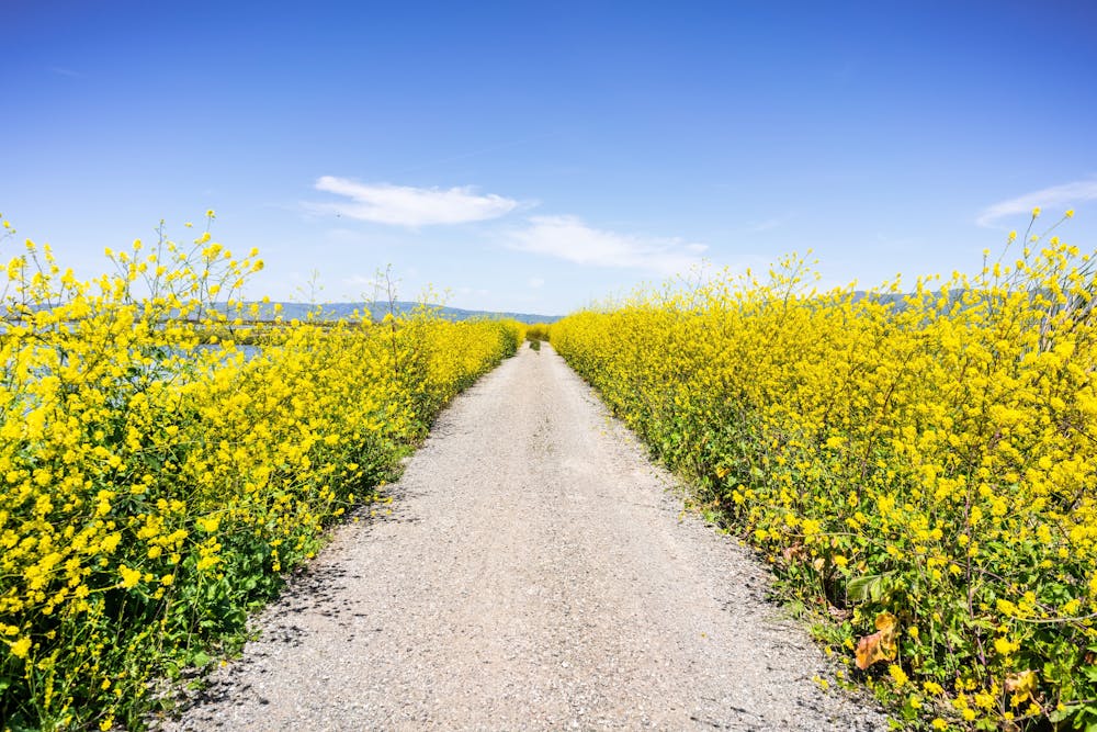
An extremely scenic portion of the San Francisco Bay Trail.
Trail Running Easy
- Distance
- 16 km
- Ascent
- 37 m
- Descent
- 36 m
- Duration
- 1-2 hrs
- Low Point
- 0 m
- High Point
- 5 m
- Gradient
- 0˚

If you are looking for a long and flat hike, bike ride, or run with views of the bay and the mountains, the San Francisco Bay Trail: Sunnyvale to Sand Point is a great option. This beautiful section of the San Francisco Bay Trail follows the shoreline of the bay from Sunnyvale to Sand Point in Alviso. Along the way, you will pass by wetlands, marshes, ponds, and parks, where you can see a variety of birds and wildlife. You will also enjoy views of the Santa Cruz Mountains, the Diablo Range, and downtown San Jose.
Description
The trail starts at the Sunnyvale Baylands Park, which is a popular spot for picnicking, fishing, and boating. You will need to pay a fee to enter the park, or you can park outside and walk in. From the parking lot, follow the signs for the bay trail, which is paved and well-marked. The trail heads north along the bay, passing by several ponds and bridges. You will also see some industrial buildings and highways along the way, but they do not detract from the natural beauty of the trail.
After about 10 miles, you will reach Sand Point in Alviso, which is part of the Don Edwards San Francisco Bay National Wildlife Refuge. Here you can explore the historic town of Alviso, which was once a bustling port before it was flooded by the bay. You can also visit the Environmental Education Center, which has exhibits and programs about the wildlife and ecology of the bay.
Sources: San Francisco Bay Trail - Sunnyvale to Sand Point - The Outbound. https://www.theoutbound.com/california/hiking/san-francisco-bay-trail-sunnyvale-to-sand-point. The best Hiking in and near Sunnyvale, California - The Outbound. https://www.theoutbound.com/united-states/california/sunnyvale/hiking. Conversation with Bing Chat
Difficulty
Easy
Low Exposure

The path is on completely flat land and potential injury is limited to falling over.
Remoteness
Close to help in case of emergency.