Sawyer Camp Trail
Bay Area
A paved multi-use trail that passes several beautiful reservoirs.
Trail Running Easy
- Distance
- 19 km
- Ascent
- 237 m
- Descent
- 237 m
- Duration
- 2-3 hrs
- Low Point
- 86 m
- High Point
- 185 m
- Gradient
- 3˚

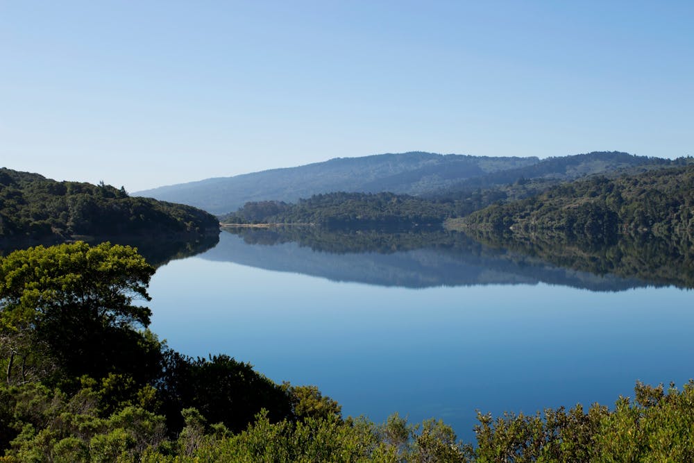
The Sawyer Camp Trail is a scenic and easy trail that follows the shoreline of Lower Crystal Springs Reservoir and San Andreas Lake in San Mateo County. This 6-mile paved trail is part of the Crystal Springs Regional Trail, and is popular for walking, running, biking, and birdwatching.
Description
The trail starts at the parking lot on Skyline Boulevard and heads south along the reservoir. The trail is mostly flat and shaded by trees, with occasional views of the water and the hills. You can see a variety of birds, such as ducks, geese, herons, egrets, and hawks. You can also spot deer, rabbits, squirrels, and other wildlife.
The trail passes by several picnic areas and restrooms along the way. You can also see some historical landmarks, such as the Pulgas Water Temple and the Crystal Springs Dam. The trail ends at the parking lot on Hillcrest Boulevard, where you can turn around and retrace your steps.
Sources: Sawyer Camp Segment | County of San Mateo, CA. https://www.smcgov.org/parks/sawyer-camp-segment. Sawyer Camp Trail - Wikipedia. https://en.wikipedia.org/wiki/SawyerCampTrail. Conversation with Bing Chat
Difficulty
Easy
Low Exposure

The path is on completely flat land and potential injury is limited to falling over.
Remoteness
Close to help in case of emergency.