Trading Post to PCT via West Fork & Jo Pond
Indian Canyons Trading Post to West Fork Trail to Jo Pond Trail to PCT
Trail Running Difficult
- Distance
- 15 km
- Ascent
- 1.9 km
- Descent
- 84 m
- Duration
- 4-5 hrs
- Low Point
- 235 m
- High Point
- 2.1 km
- Gradient
- 13˚

This is a popular trail running route which is generally considered to be difficult. It's remote, it features high exposure and is typically done between October and May. From a low point of 235 m to the maximum altitude of 2.1 km, the route covers 15 km, 1888 vertical metres of ascent and 84 vertical metres of descent.
Description
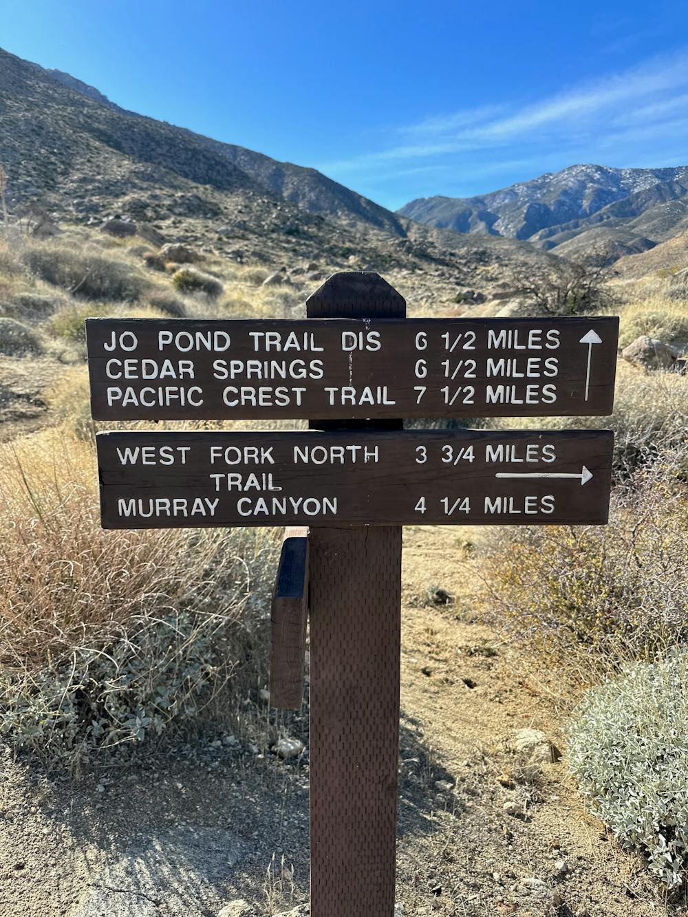
Hike up the West Fork Trail from Palm Canyon for 2.5 miles to the trail junction of the Jo Pond. Hike up Jo Pond Trail to Cedar Springs and continue up Jo Pond Trail ending at Pacific Crest Trail
Difficulty
Difficult
High Exposure

Some trail sections have exposed ledges or steep ascents/descents where falling could cause serious injury.
Remoteness

Away from help but easily accessed.