Handies Peak
Traditional Southwest Slopes route to the Summit of Handies Peak.
Alpine Climbing Easy
- Distance
- 3.9 km
- Ascent
- 743 m
- Descent
- 10 m
- Low Point
- 3.5 km
- High Point
- 4.3 km
- Gradient
- 17˚

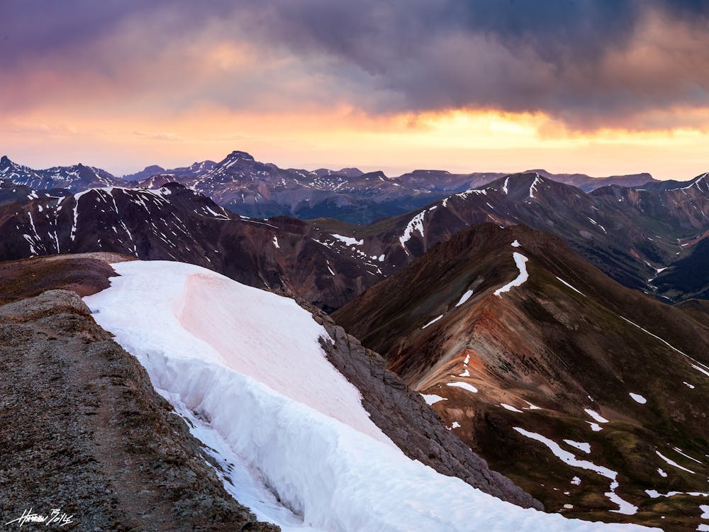
Handies peak is part of the beautiful San Juan Mountains. Although it may be far to get to, the climb itself is one of the easiest of all the 14ers, with some of the best views.
Description
The typical way to arrive at the American Basin Trail head is through Lake City. Follow County Road 30, Alpine Loop, and turn left for American Basin. The road from here is rough 4X4 high clearance only, and contains some fun creek crossings!
The trailhead itself is one of the most beautiful, with American Peak overlooking American Basin. The climb itself presents no technical challenges. From the summit, you are rewarded with views of Uncompahgre, Wetterhorn, Sunshine and Redcloud, and many more peaks. Enjoy!
For Detailed Information:
Difficulty
Easy
The ascent involves simple glacier hiking and/or short, straightforward rock scrambles. Equivalent to Alpine F, F+
Low Exposure

The route is well protected or easy enough that protection is not required.
Remoteness

Away from help but easily accessed.