13 routes · Alpine Climbing · Hiking
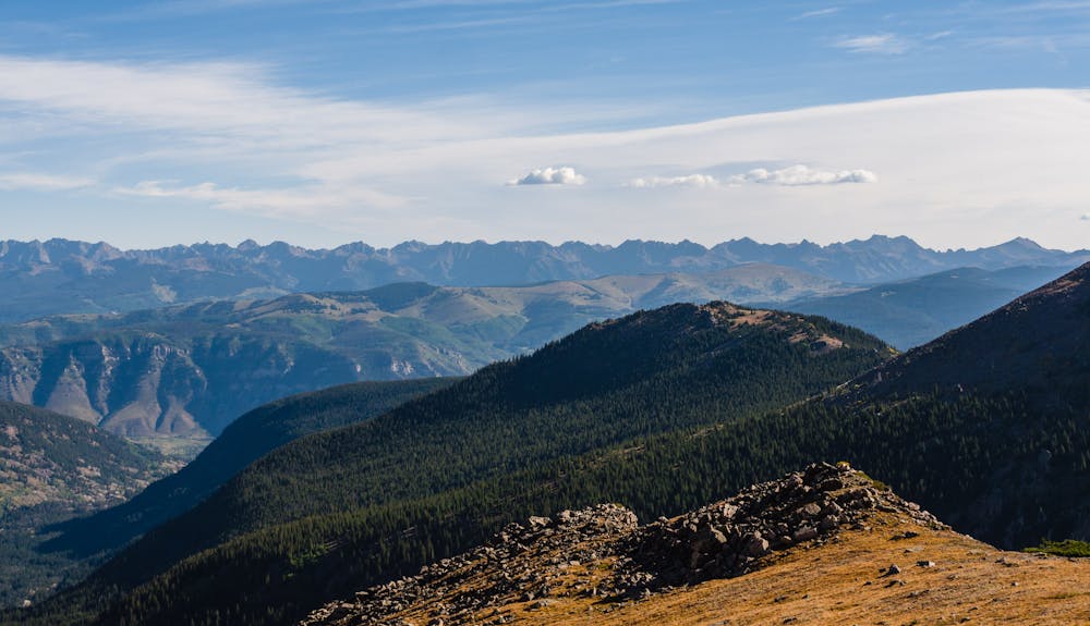
14,005' Mount of the Holy Cross stands alone as the farthest north 14er in the Sawatch Range.
Alpine Climbing Easy

There is nothing easy about summitting Mount of the Holy Cross, from driving to the 10,320' Half Moon trailhead, to the 12-mile roundtrip distance, to the dreaded 1,000' elevation loss and regain both out and back, to the hazards that contribute to the frequency of Search & Rescue calls in the area. Those factors do not detract from the attraction of hiking this beautiful 14er, but they should alert hikers of the wisdom of using resources such as 14ers.com and Gerry Roach's guidebook, Colorado's Fourteeners: From Hikes to Climbs.
The standard North Ridge route is the “easiest”, but is still a big endeavor for one day. Many choose to backpack in and camp at East Cross Creek where there are 10 first-come, first-served campsites. If done as a day hike, it is important to start very early!
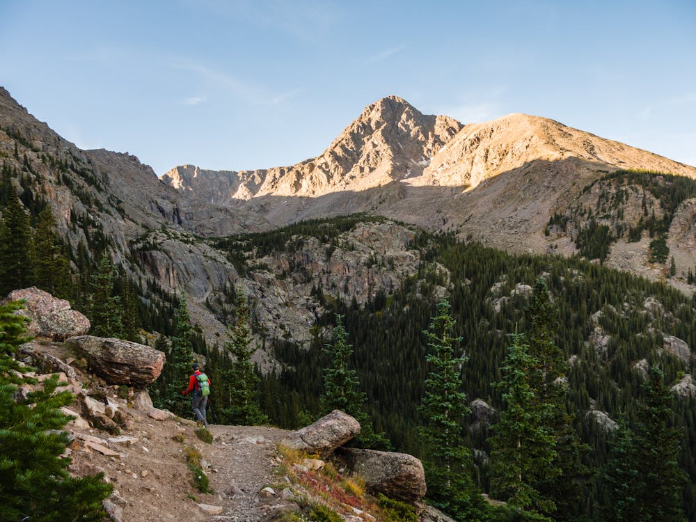
The North Ridge route to Holy Cross is one of the rare 14er hikes that allows early views of the actual summit. It is quite inspirational to see the goal before dropping down 1,000' only to regain it after East Cross Creek. It is also really helpful to KNOW that this will be done again on the return trip; being mentally prepared is vital.
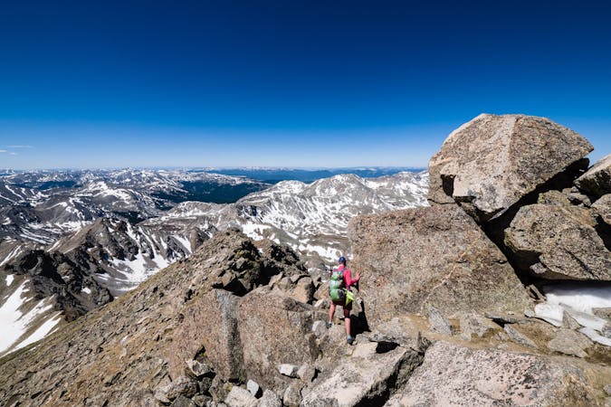
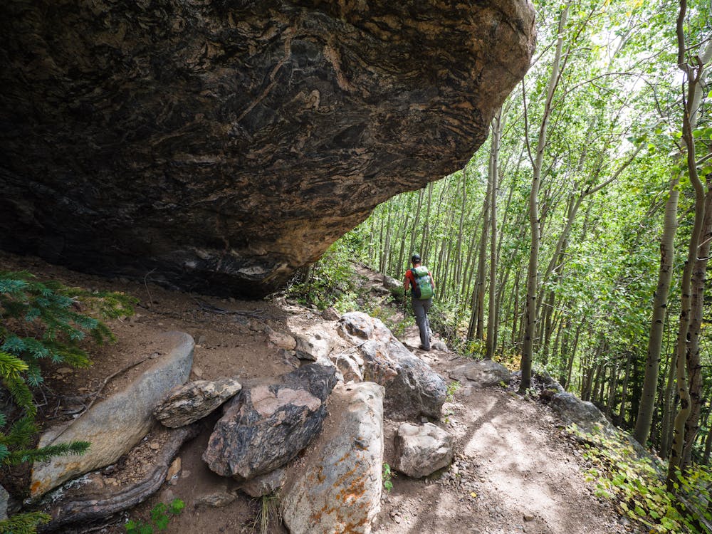
The trail is obvious and easy to follow for the vast majority of the route on the ascent. Be sure to pay attention on the way up, because the descent has a tricky area at about 11,500' that is known to be a place where hikers go astray on the way down. Again... good research and planning is imperative!
Once above treeline, Colorado Fourteeners Initiative (CFI) has built amazing rock steps and delineated the route across the talus with huge cairns.
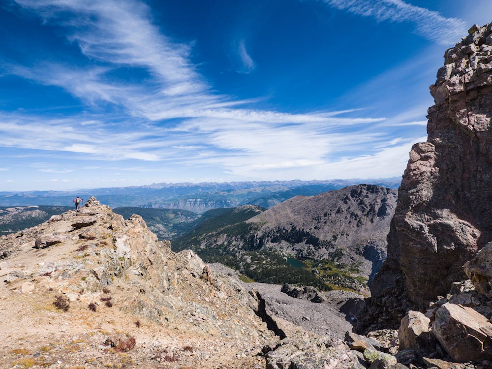
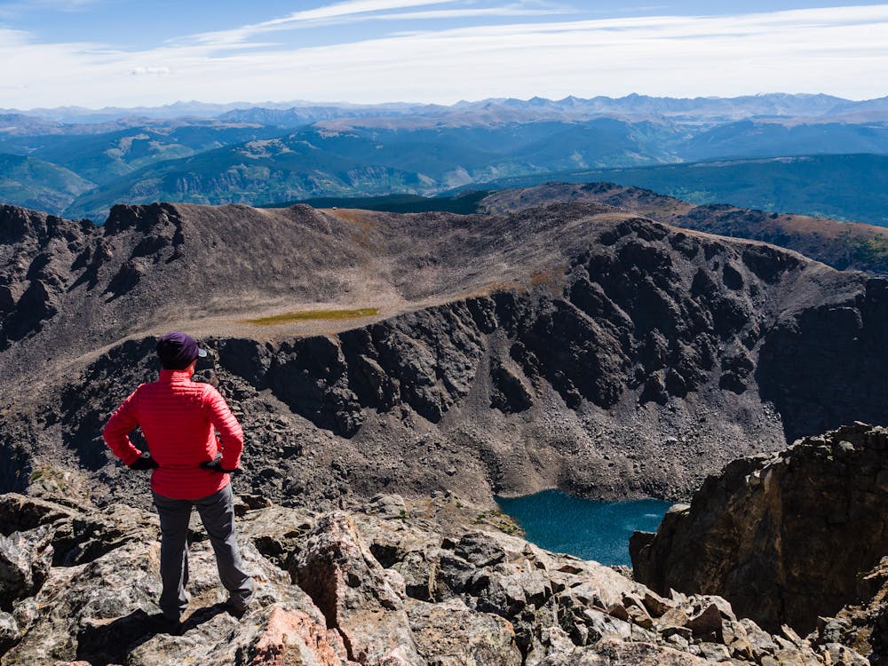
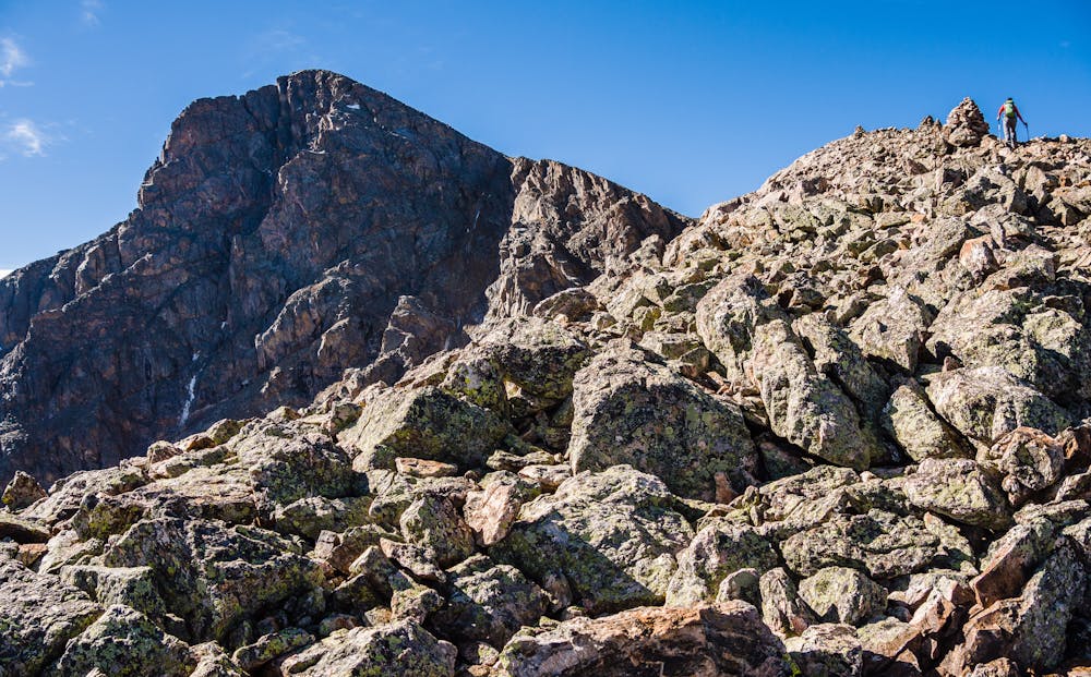
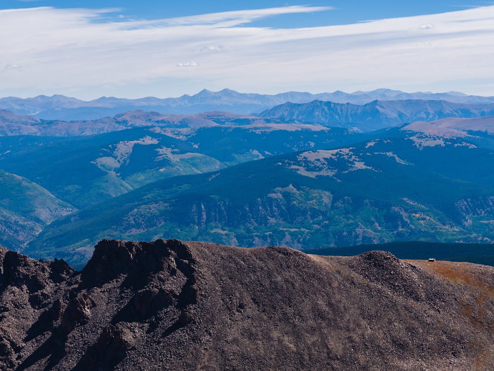
The last 500' of ascent is less obvious and requires a bit of route-finding (research!) to access the summit. Once there, spend some time exploring the 14,005' Mount of the Holy Cross views. One of the best views is of the lovely little “Bowl of Tears” lake down below. Another is of the Notch Mountain shelter cabin across the way.
Before leaving the summit, mentally review the tricky spots and anticipate them. A positive attitude will go far toward returning safely and happily.
Easy
The ascent involves simple glacier hiking and/or short, straightforward rock scrambles. Equivalent to Alpine F, F+

Much of the route is difficult to protect and a fall could be disastrous at certain points.
Little chance of being seen or helped in case of an accident.
13 routes · Alpine Climbing · Hiking

46 routes · Alpine Climbing · Hiking