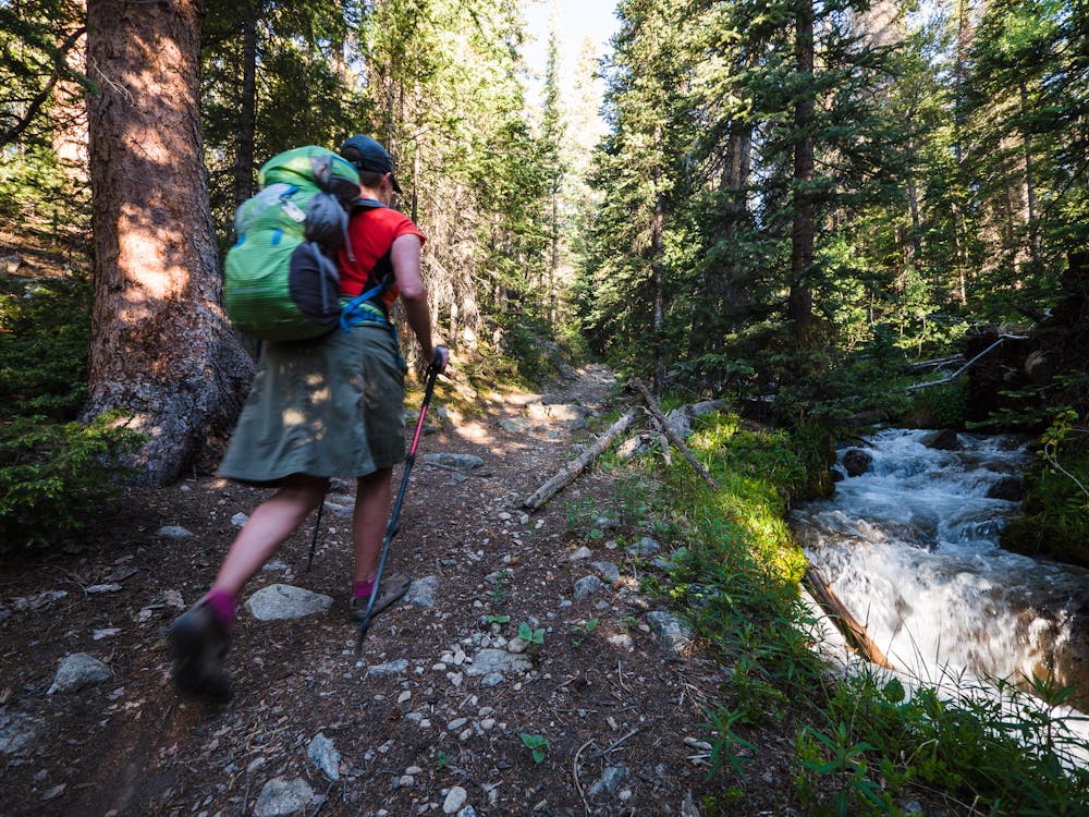
Starting at the 9,260' TH, the 3 Elk Creek trail will cross 3 Elk Creek a couple times and meander alongside it for the first 3 miles of the hike. Be sure to enjoy both the trail and the sights and sounds of the creek before starting the off-trail adventure.
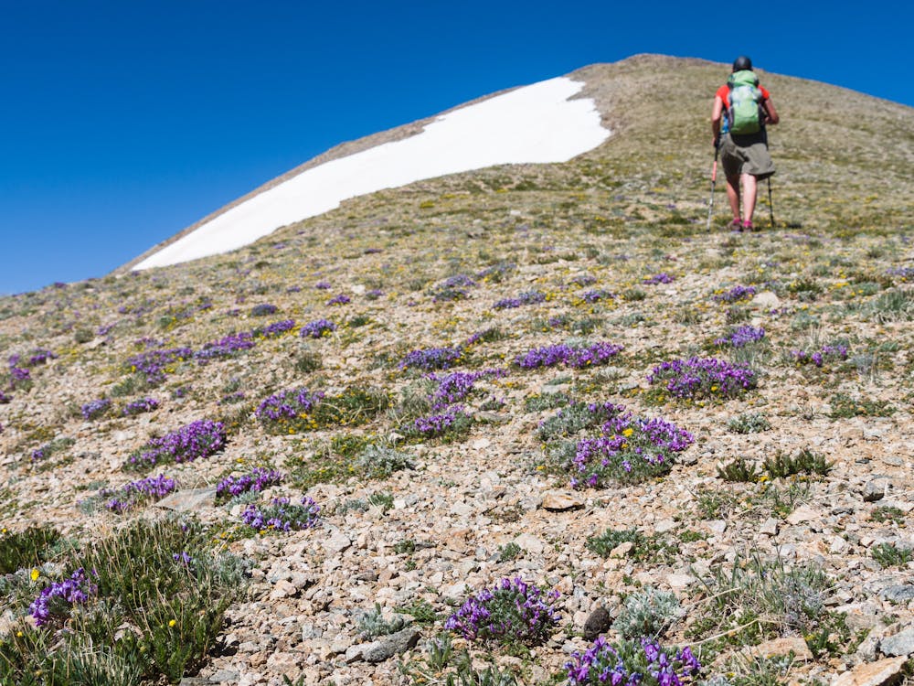
The next part of the hike involves locating the best way to gain Columbia's east ridge. This part of the ascent will cover a solid mile or more.
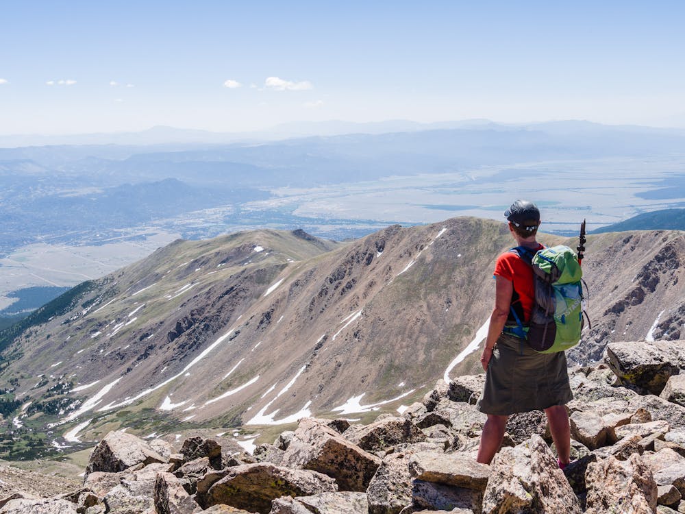
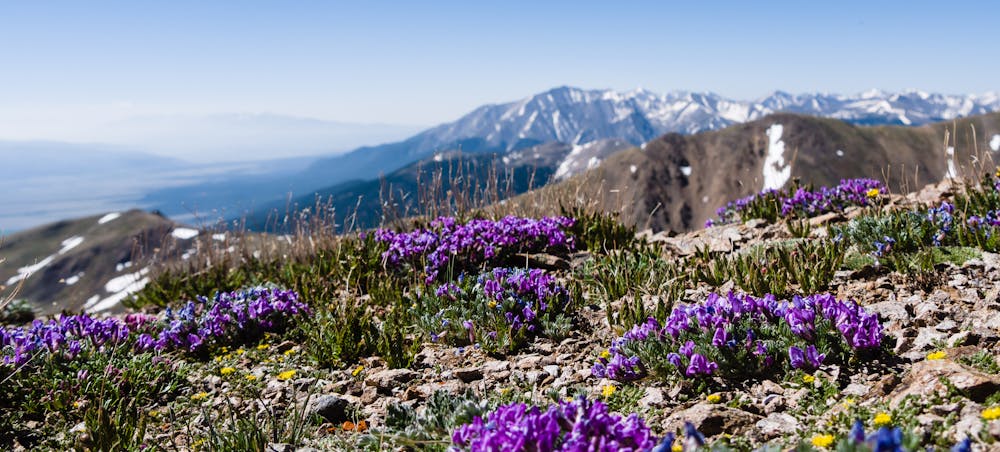
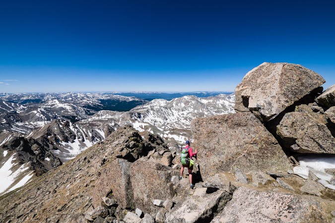
Take the time to appreciate the views and understand that there will be three false summits to travel over before the final, and true, summit of Mt. Columbia is possible.
False summits are often reviled and feared, but the effort required to attain each one just makes the final summit that much sweeter. It is said that “knowledge is power” and that is certainly true of false summits; just know that there are three and address them one-by-one.
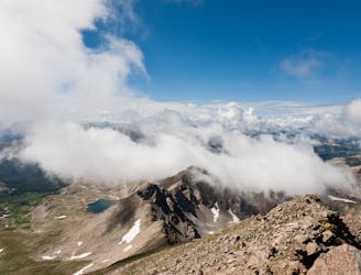
The top of the third and final false summit provides an expansive view of the real-deal... the summit of 14,073' Mt. Columbia!
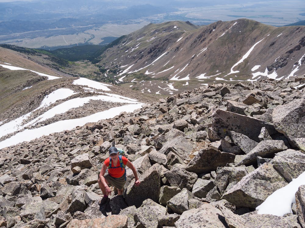
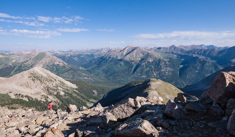
The final push requires just a tad bit of talus negotiating to earn the actual summit of Mt. Columbia. Once there, take in the views in every direction: one is of lovely Bear Lake way down in Horn Fork Basin, one of 14,420' Mt. Harvard and yet another of the beautiful little town of Buena Vista 6,000' below.