Ypsilon Mountain, Blitzen Ridge
Rocky Mountain National Park
A classic ridge climb in Rocky Mountain National Park
Alpine Climbing Difficult
- Distance
- 9.8 km
- Ascent
- 1.6 km
- Descent
- 81 m
- Low Point
- 2.6 km
- High Point
- 4.1 km
- Gradient
- 29˚

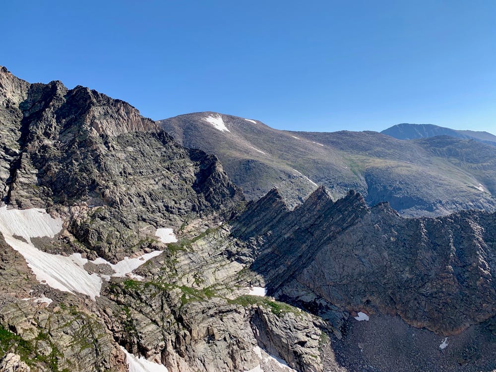
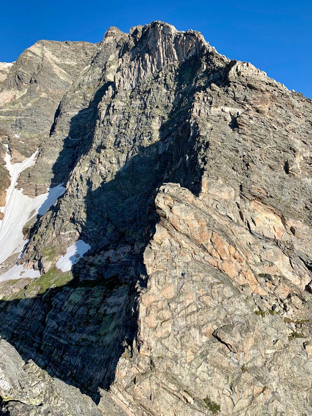
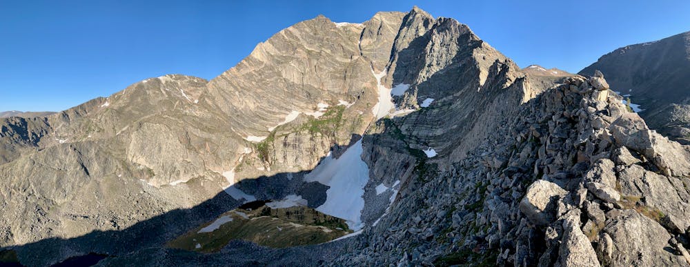
Start from the Lawn Lake Trailhead, where Fall River Road splits from Highway 34. Hike the trail towards Lawn Lake and take the left for Ypsilon Lake after about 1.25 miles. Follow this to Ypsilon Lake. Go left around the lake to find a chute directly north of the lake that looks easy to climb. Use this chute to gain the ridge and continue to the north-west while staying high on the ridge. Follow this until you hit the aces, four "A" shaped grooves on the ridge that present the crux of the route. Pass the first two aces using ledges left (south) of the ridge. Then, climb the third directly up a corner (YDS 5.3), right of center. Down-climb or rappel from an anchor to the col before the fourth and final ace. Climb this ace via the slabs on the right side (YDS 5.4) until you find easy ledges leading back left to a white boulder. Go around the boulder to south side and gain to top of the ace via a corner or chossy ledges. After passing the aces, continue up the ridge to the summit. This starts off as 5.easy and then becomes 4th class, and fun to the top.
- •
- •
- •
Difficulty
Difficult
The beginning of truly technical terrain which might involve pitched climbing on rock and/or ice, exposed terrain and complex route finding in ascent and descent. Equivalent to AD, AD+
High Exposure

Much of the route is difficult to protect and a fall could be disastrous at certain points.
Remoteness

Away from help but easily accessed.
Best time to visit
Equipment required
- Climbing Shoes
- Wires and Friends