4.7 km away
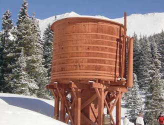
Sally Barber Road
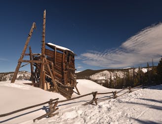
A straightforward out-and-back ski route on a wide road grade.
Easy Cross Country Skiing
- Distance
- 8.5 km
- Ascent
- 253 m
- Descent
- 253 m
A point-to-point ski on the Peaks Trail
Cross Country Skiing Moderate

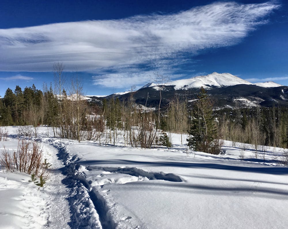
The Peaks Trail runs for 8 miles one-way between the towns of Breckenridge and Frisco. The trail "follows an old mining road from the 1800’s and has a section that runs alongside an aqueduct that was built by miners to funnel and sift water containing precious gold and silver,” according to Mark Grattan on BestOfBreck.com.
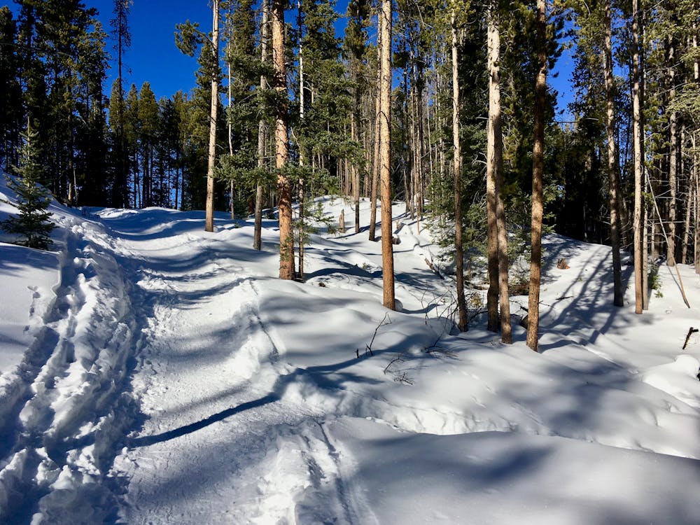
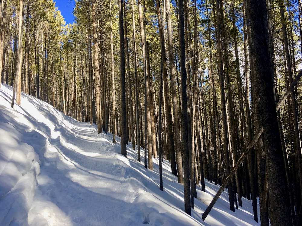
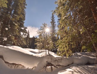
The Peaks Trail is an extremely popular venue for backcountry nordic skiing. Thanks to its incredible popularity, more than likely this trail will be at least partially packed in and easy to follow. Other more obscure trails in the area can become completely buried in snow in the wintertime and disappear altogether.
Skiers can choose to ski the Peaks Trail as an out-and-back or, thanks to the great public transportation in Summit County, a point-to-point route with a net elevation loss (as mapped here). If you choose to do the route as an out-and-back, just travel as far as you’d like to go, and then turn around.
Since the trail undulates up and down the flanks of the mountainside, this ski route is not nearly as intense as some of the straight-up-and-straight-down efforts in the nearby mountains. As the Peaks Trail makes it’s way across the flanks of the Tenmile Range from Peak 1 to Peak 10, the trail stays "mostly in the lodgepole pine forest along with some aspen, spruce and fir forests,” according to the US Forest Service. Also, while it’s always good to be aware of the changing weather, staying down in the trees reduces your exposure to high winds and bitter cold.
Sources: https://www.bestofbreck.com/peaks-trail-overview/ https://www.fs.usda.gov/recarea/whiteriver/recreation/recarea/?recid=40691&actid=24
Moderate

As well as the slope itself, there are some obstacles (such as rock outcrops) which could aggravate injury.
Away from help but easily accessed.
4.7 km away
A straightforward out-and-back ski route on a wide road grade.
Easy Cross Country Skiing
4.8 km away
Earn epic views off the top of 11,500-foot Boreas Pass.
Easy Cross Country Skiing
5 km away
A gorgeous loop route for backcountry nordic skiing.
Difficult Cross Country Skiing