Catherine Store to Gypsum via Cottonwood Pass
Alt route when Glenwood Canyon closed
Driving 4x4 Moderate
- Distance
- 41 km
- Ascent
- 846 m
- Descent
- 826 m
- Low Point
- 1.9 km
- High Point
- 2.5 km
- Gradient
- 6˚
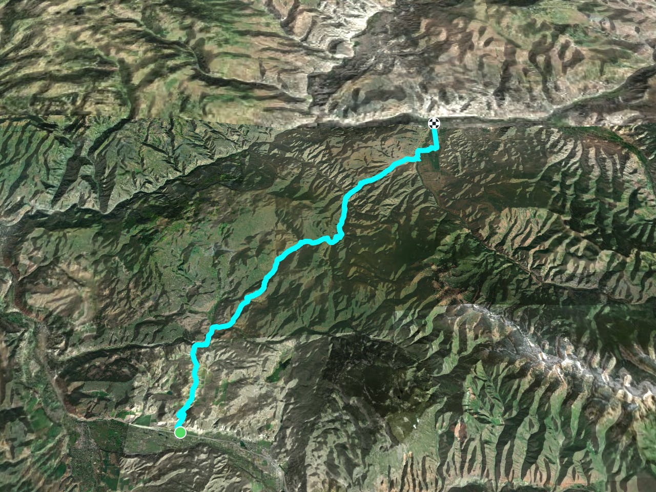
This is a popular driving 4x4 route which is generally considered to be moderate. It's remote, it features low exposure and is typically done between June and October. From a low point of 1.9 km to the maximum altitude of 2.5 km, the route covers 41 km, 846 vertical metres of ascent and 826 vertical metres of descent.
Description
A fine way to detour around Glenwood canyon
Difficulty
Moderate
Low Exposure

The path is on completely flat land and potential injury is limited to falling over.
Remoteness

Away from help but easily accessed.