Mosquito Pass
An epic route incorporating the best 4x4 roads in the Mosquito Pass area.
Difficult Driving 4x4
- Distance
- 134 km
- Ascent
- 3.4 km
- Descent
- 3.4 km
4x4 the slopes of one of Colorado's iconic 14,000-foot peaks.
Driving 4x4 Difficult

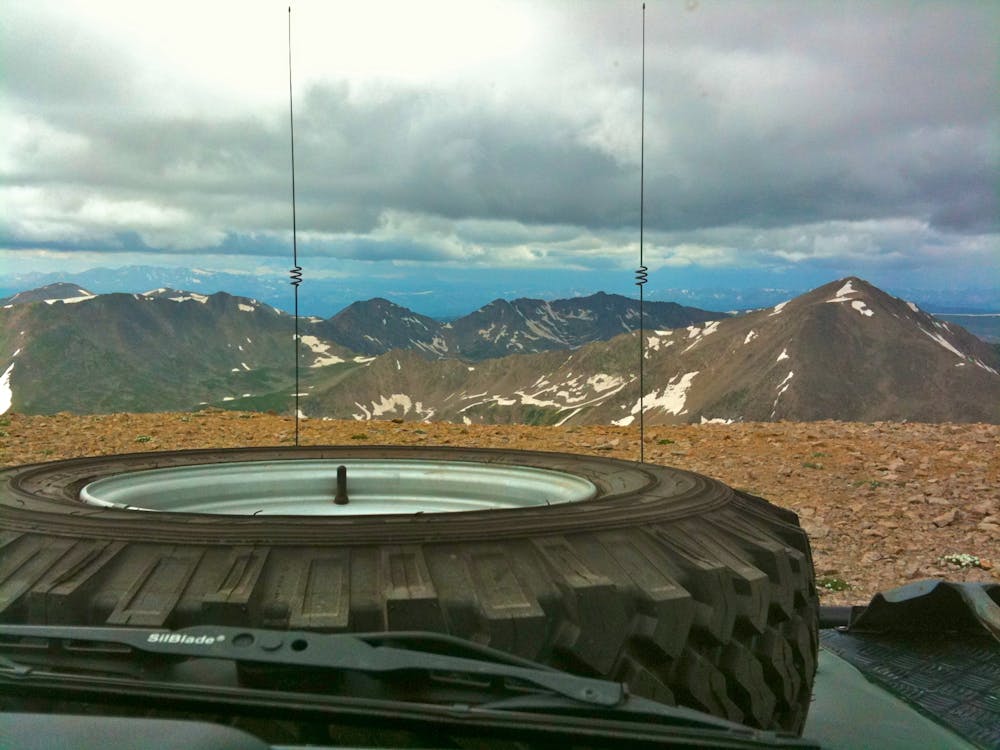
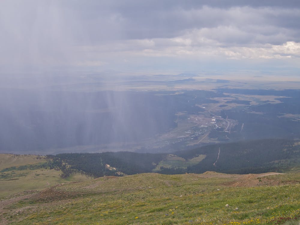
4x4 the slopes of one of Colorado’s iconic 14ers, aka mountain peaks over 14,000 feet above sea level! From this high altitude road you’ll experience jaw-dropping views in all directions.
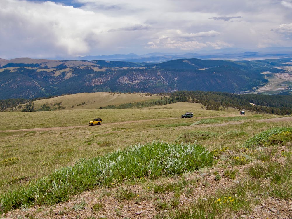
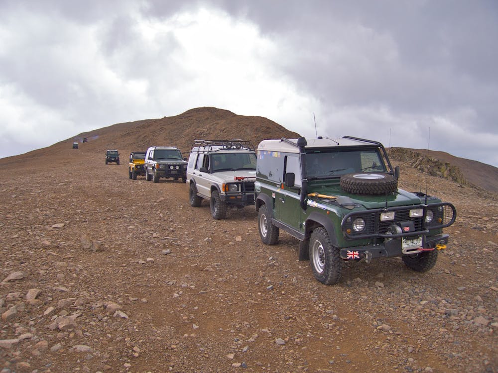
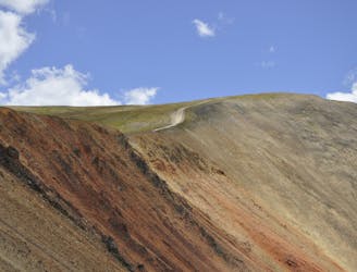
The route mapped here follows a lariat loop on the slopes of the mountain with a spur up to the mountain shoulder. This route is the most legit and legal option available on the mountain. While many sources claim that there’s a 4x4 road running all the way to the summit of the mountain, the actual summit itself is private property and off limits to the public. Please respect all signs and closures.
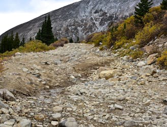
Some of the lower sections of the road can be difficult depending on conditions, the capability of your vehicle, and your competency as a driver. Use caution as you ascend the mountain.
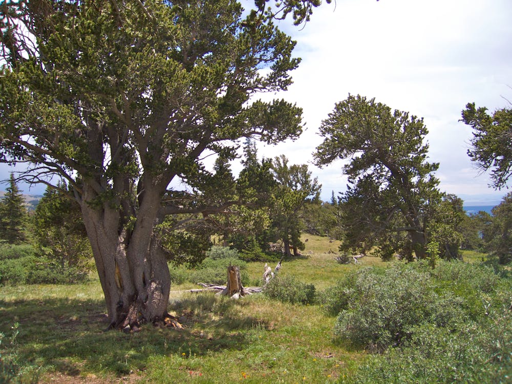
In addition to epic views of the surrounding mountain peaks, the slopes of Mount Bross are home to a stand of bristlecone pines—a relatively rare breed of pine tree that only grows in certain harsh climates, with a proclivity for extremely long life spans.
Sources: https://www.jeeptheusa.com/mount-bross-20.html https://14ers.com/forum/viewtopic.php?t=52405 https://www.dangerousroads.org/north-america/usa/6878-mount-bross.html
Difficult

Some trail sections have exposed ledges or steep ascents/descents where falling could cause serious injury.

In the high mountains or remote conditions, all individuals must be completely autonomous in every situation.
An epic route incorporating the best 4x4 roads in the Mosquito Pass area.
Difficult Driving 4x4
49 m away
If you're looking for a challenge, this route offers an ultra-technical high alpine pass with extreme exposure.
Severe Driving 4x4